Day 1 - The course laid before us
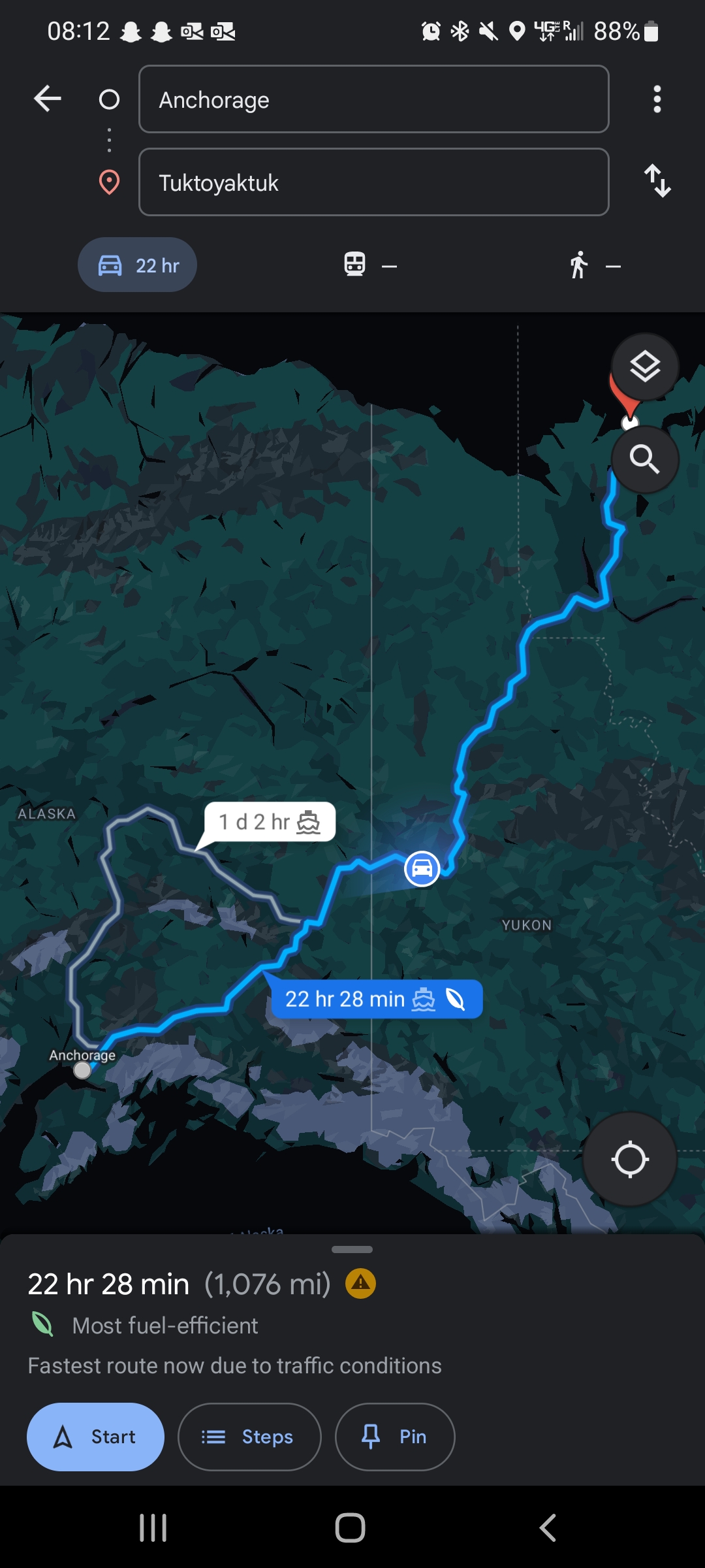
The full course of our road trip. 3 days, 1,076 miles.
The full course of our road trip. 3 days, 1,076 miles.
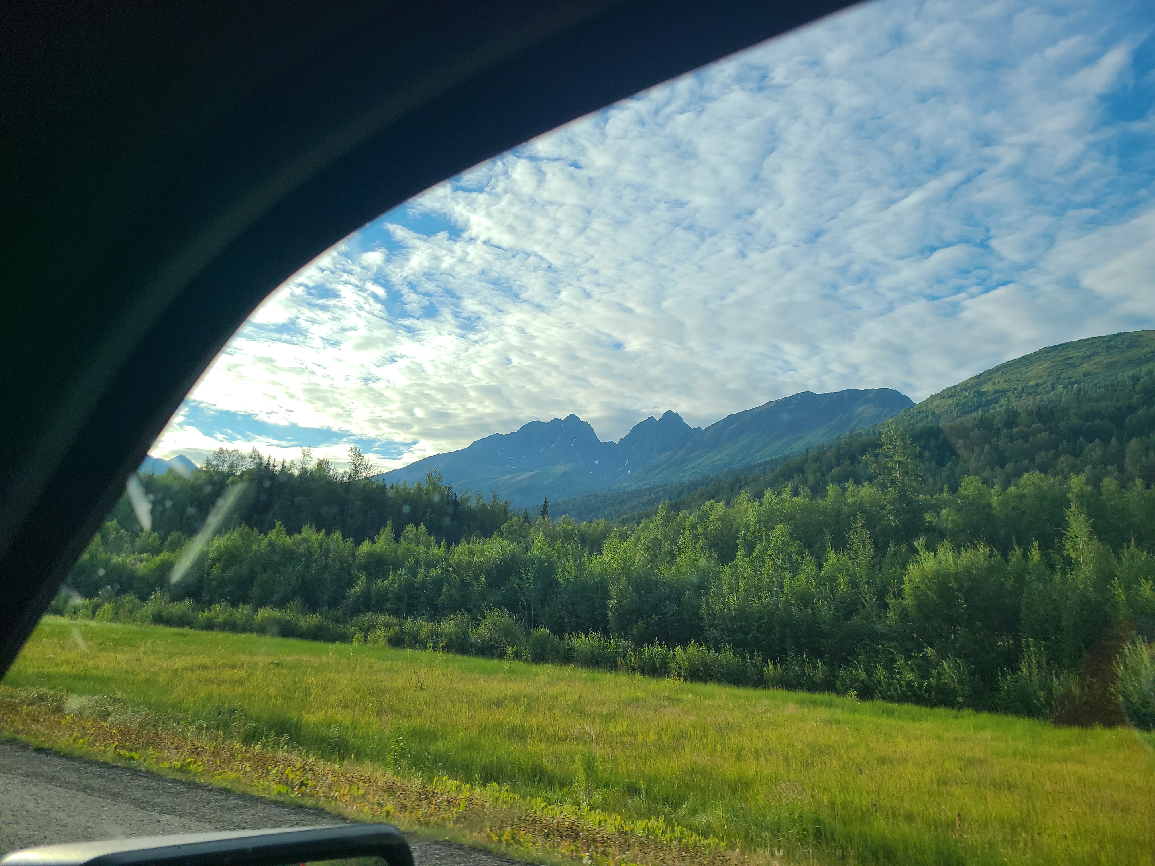
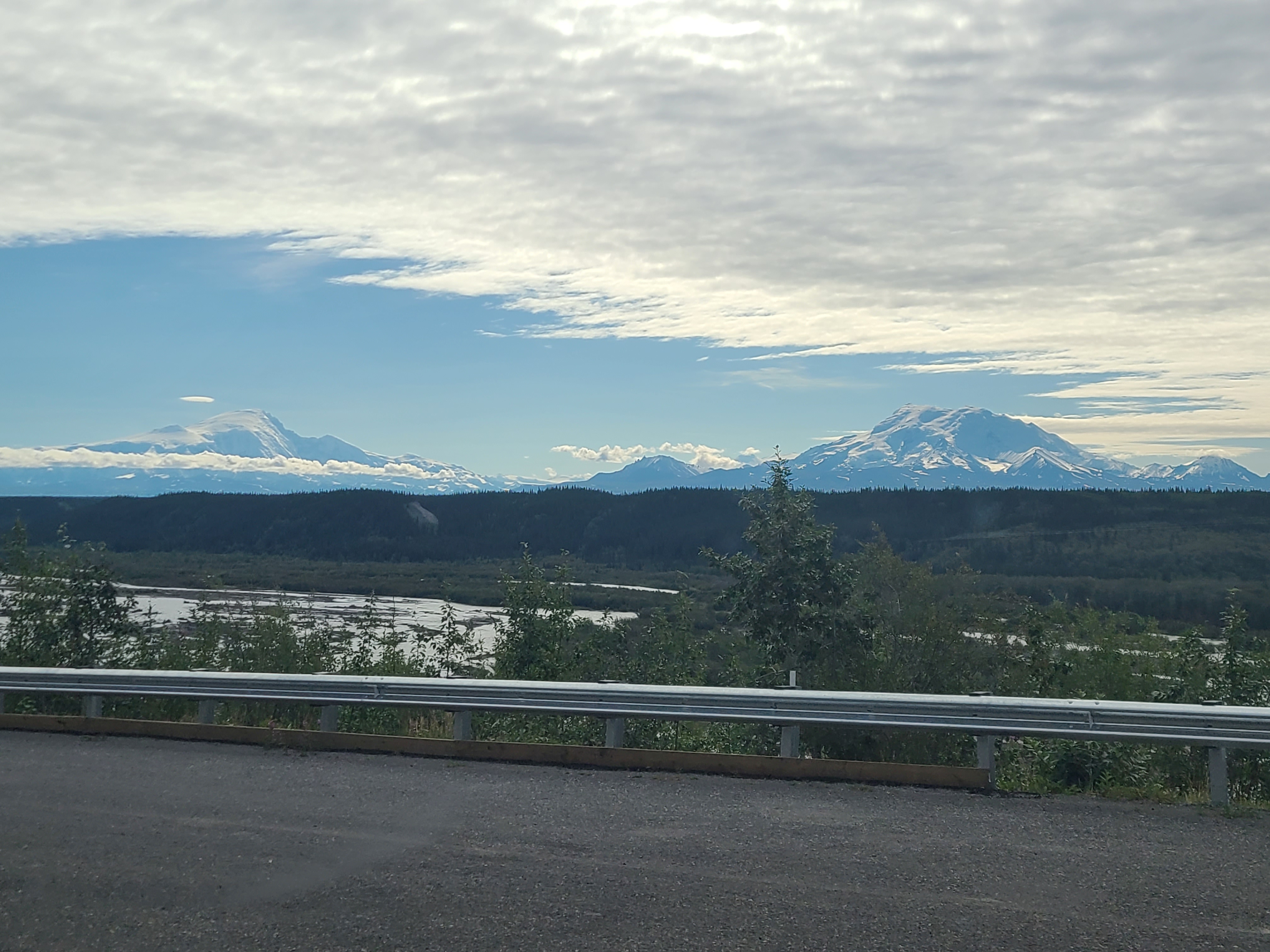
Traveling along AK-1 towards Glennallen.
Traveling along AK-1 towards Glennallen.
Glennallen, deciding whether to make a left or a right. We made a left.
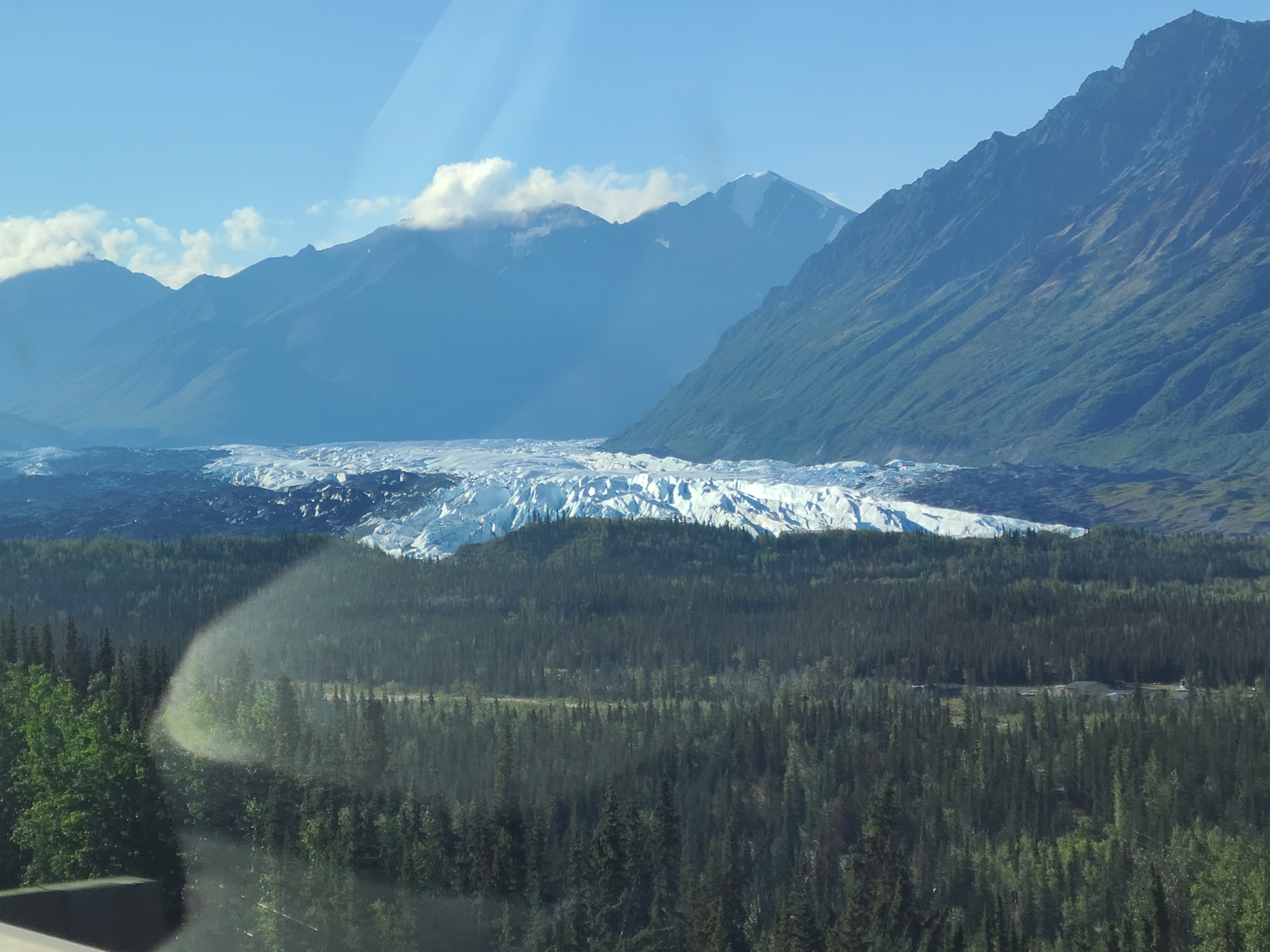
Heading towards Tok, Mt Drum and Mt Sanford are on our right/at our backs for an hour. We passed the HAARP installation.
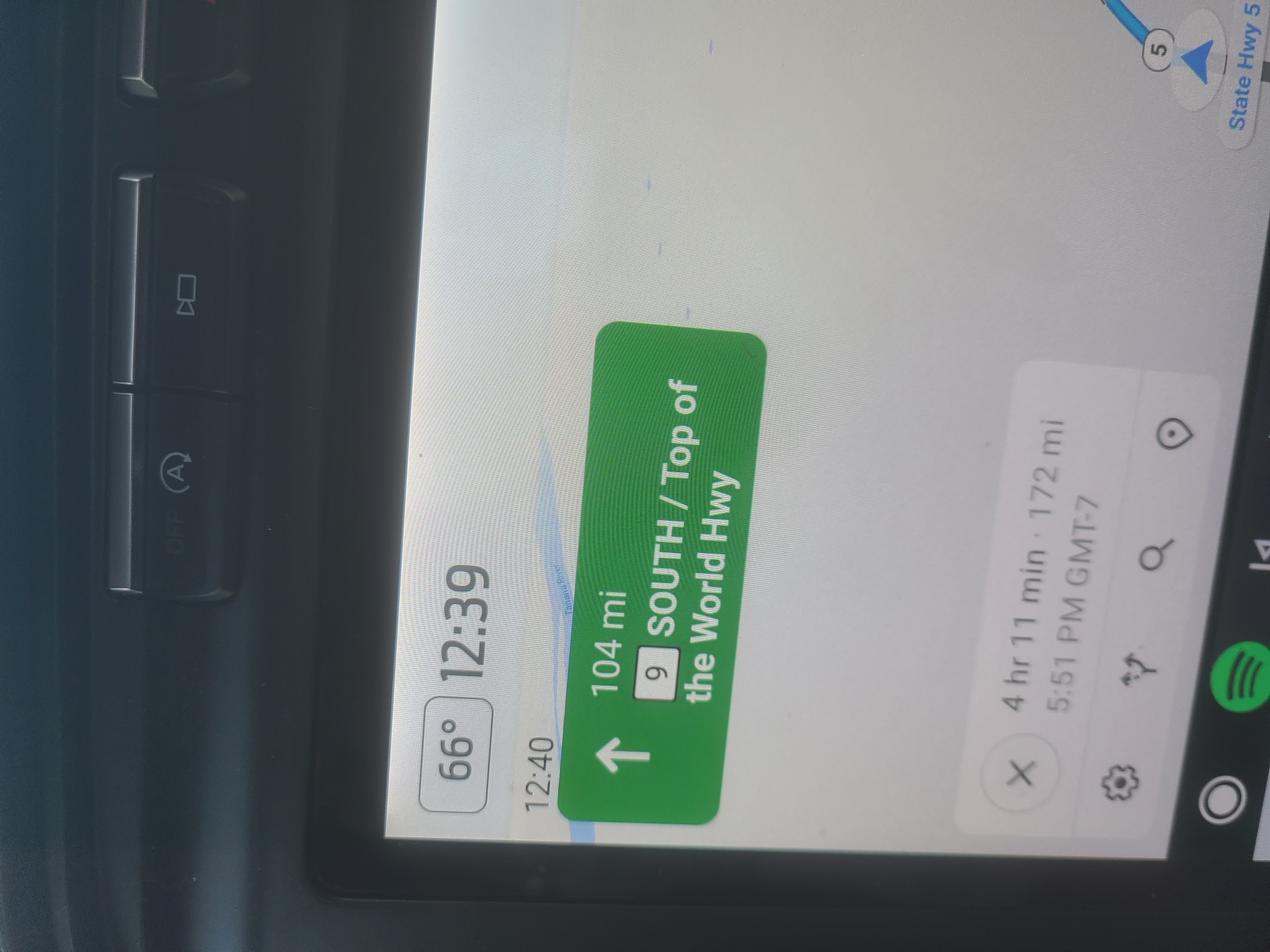
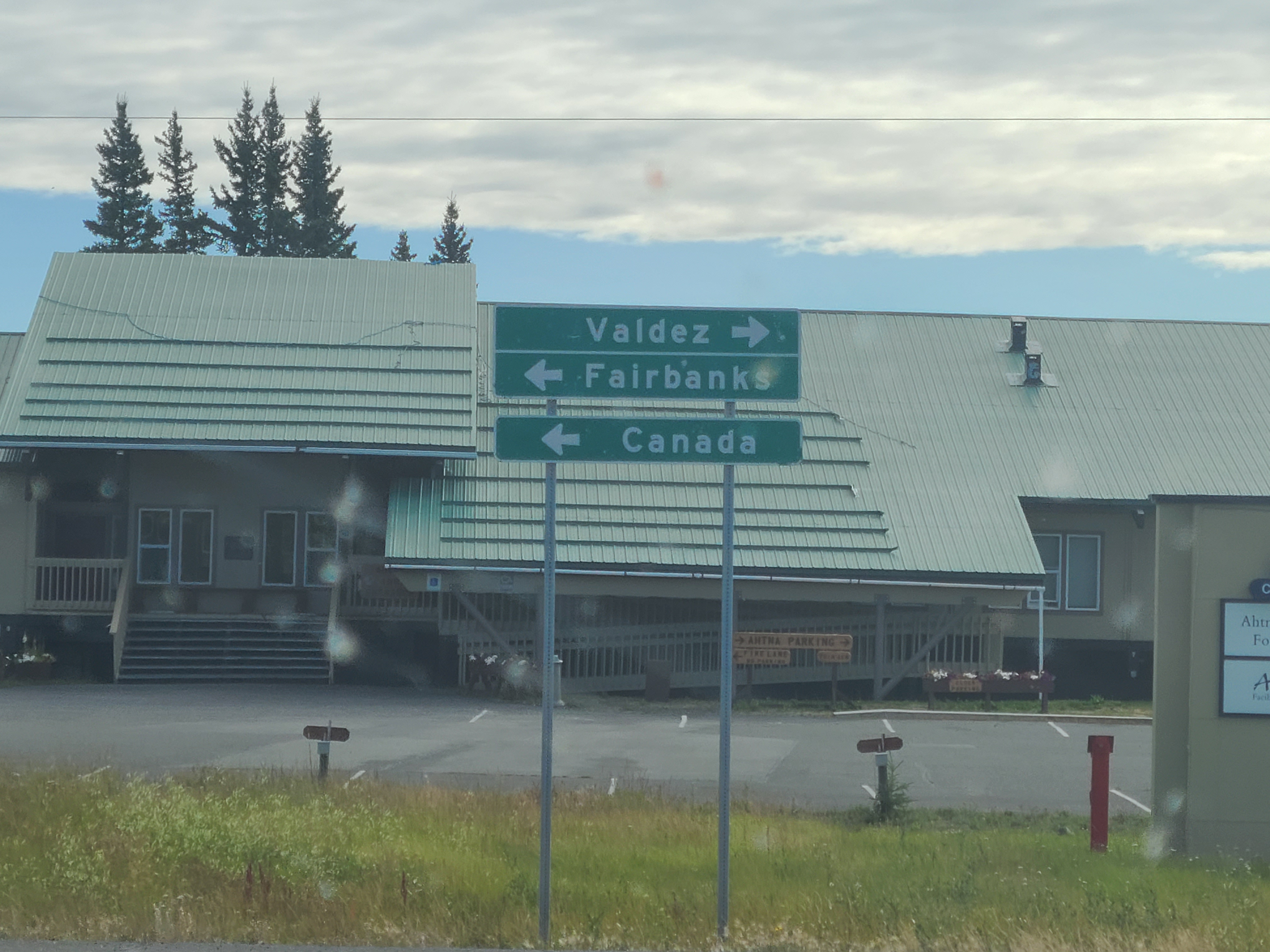
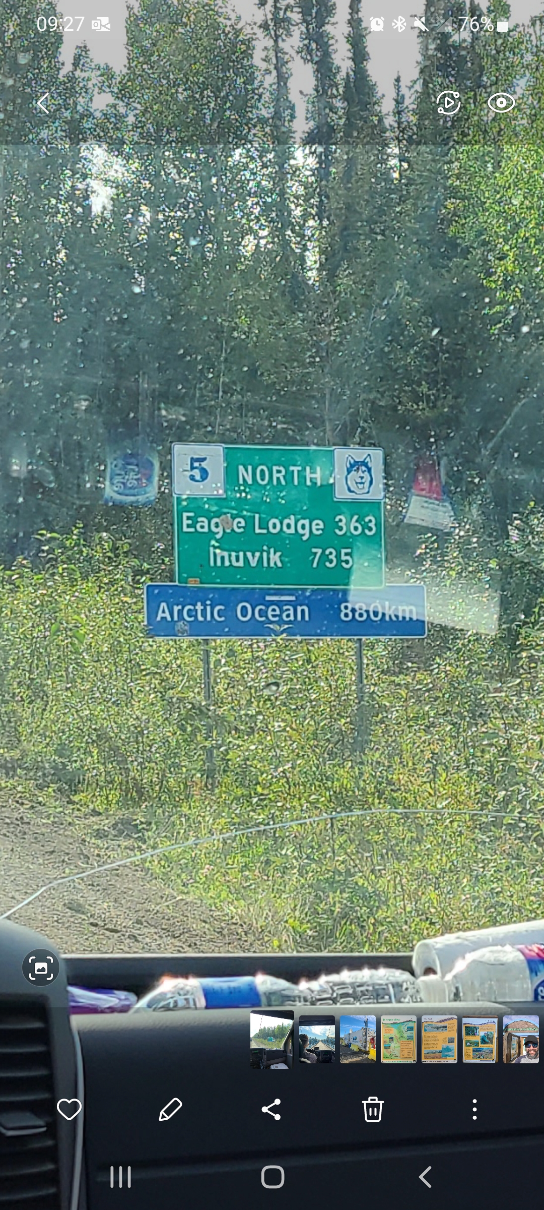
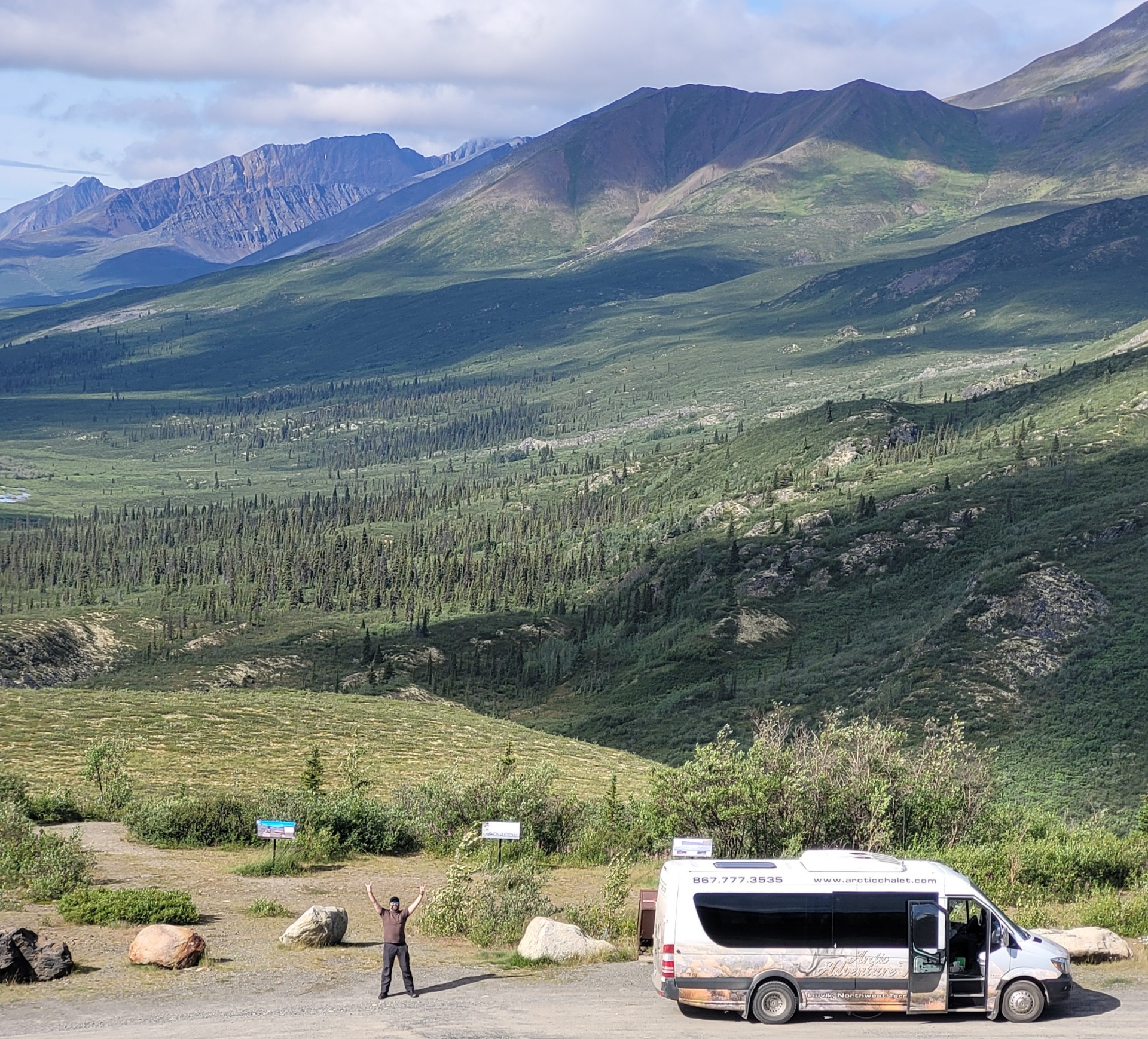
After Tok, AK (pronounced "toke") we made another left onto AK-5, the famous "Top of the World Highway"
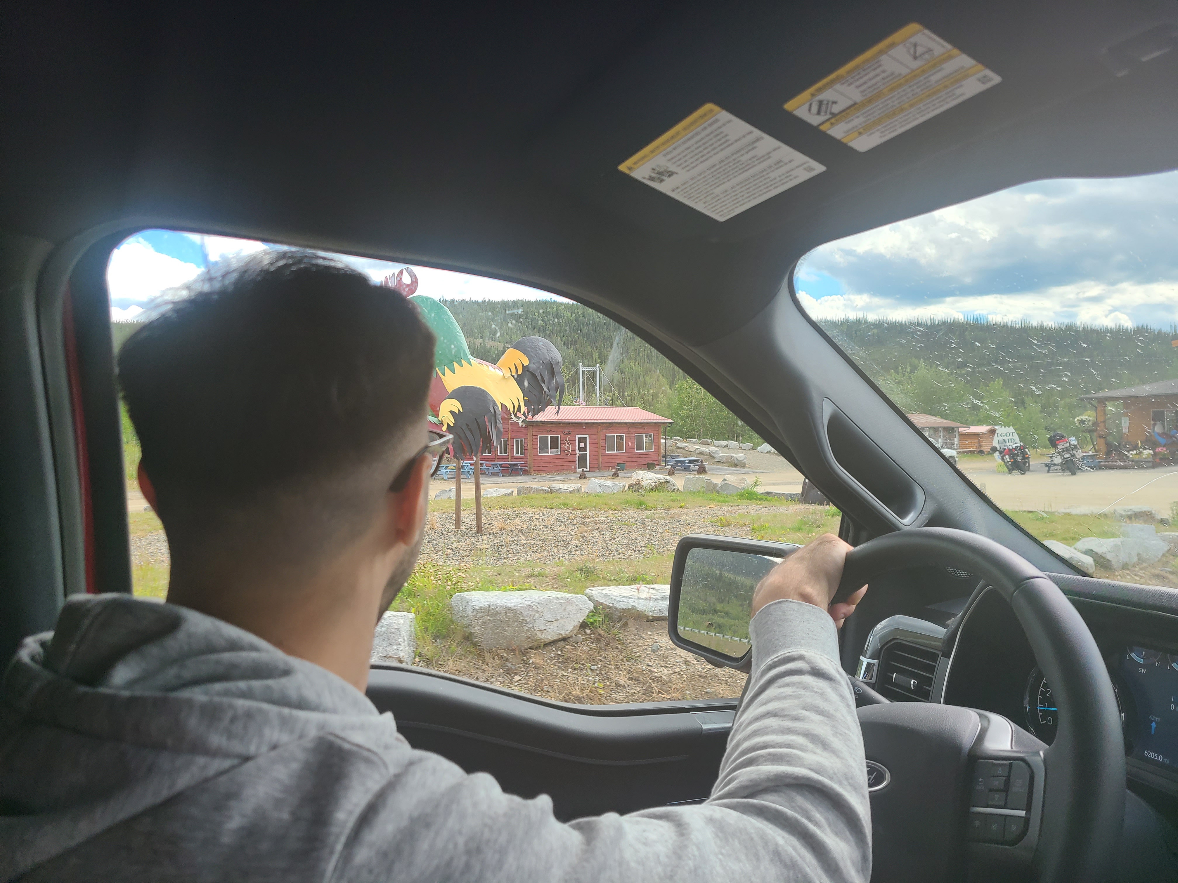
About 30 miles from the Canadian border we stopped in Chicken, AK. Well known to be the last stop before the Yukon.
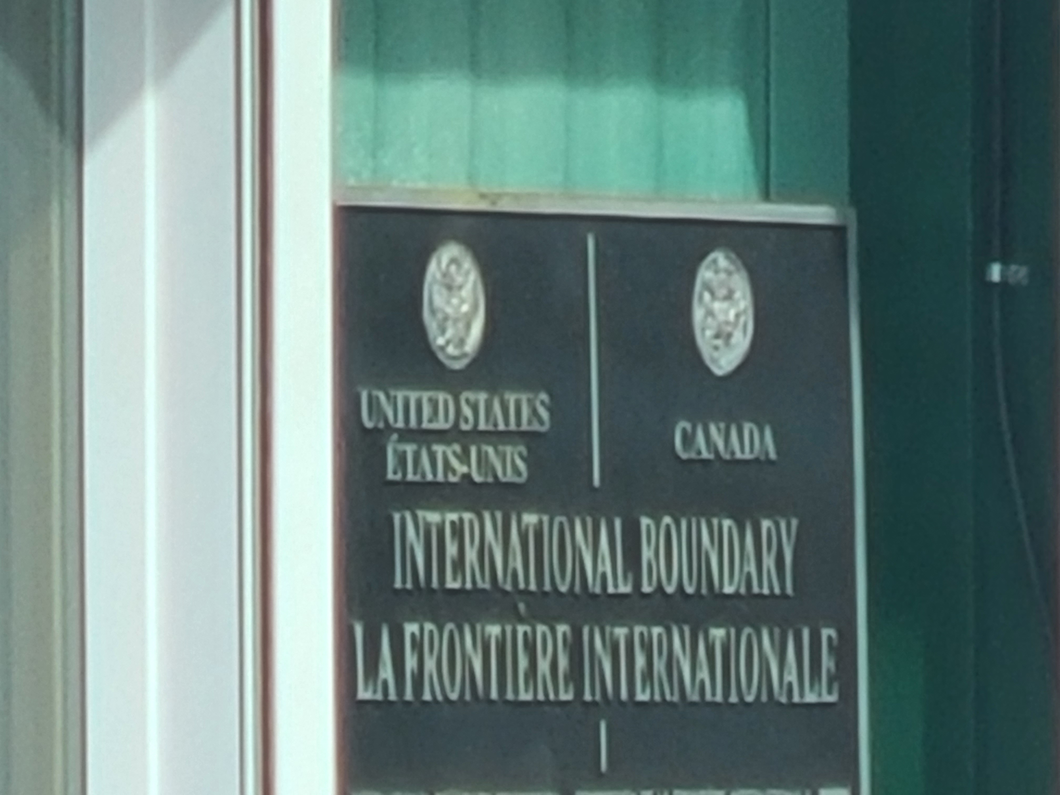
Poker Creek, AK (population 3) is the most northern land border in the US and Canada.
This far north, everything needs to point horizontally towards the equator and geosynchronous orbit.
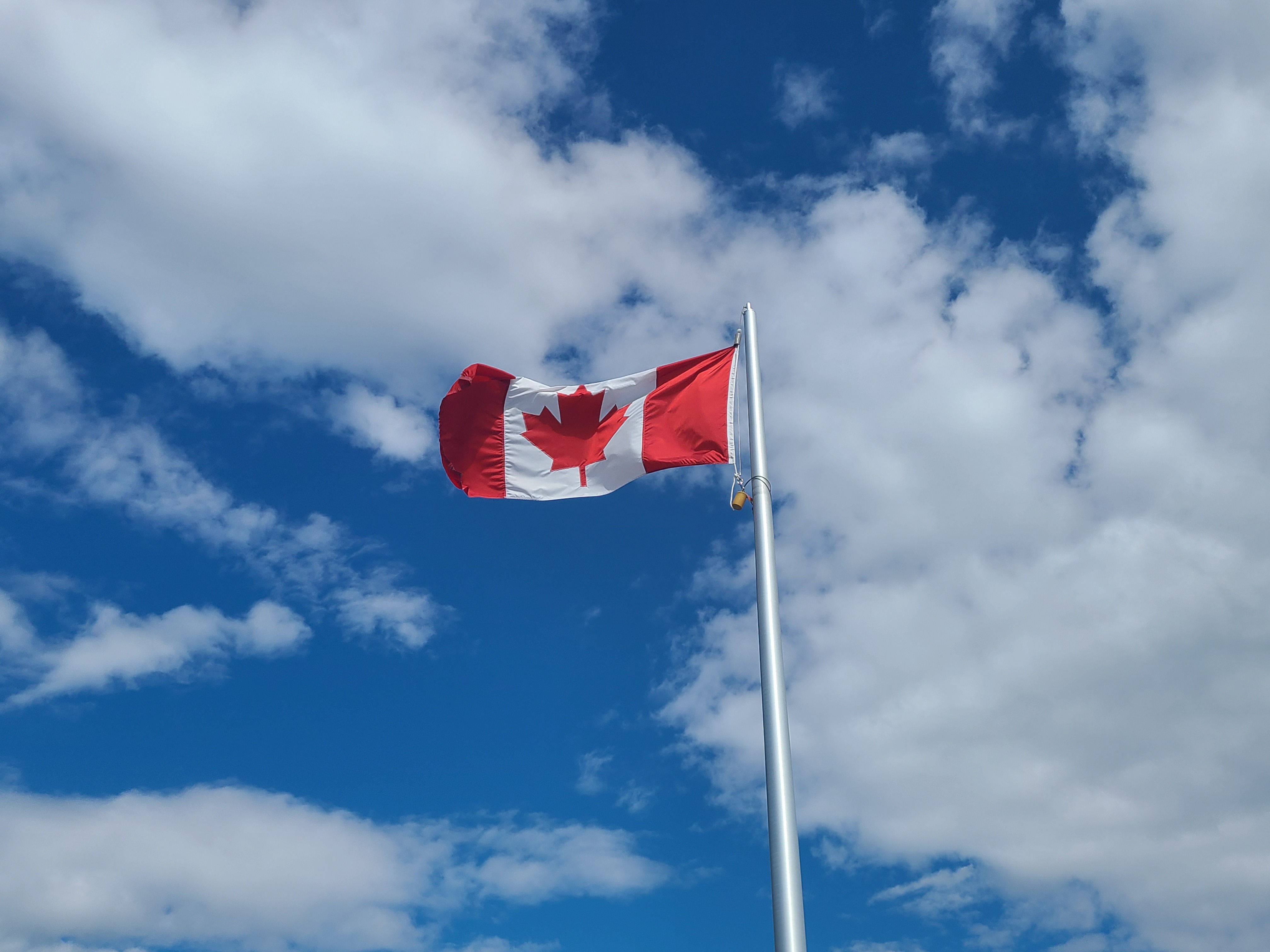
O Canada, our home and native land.
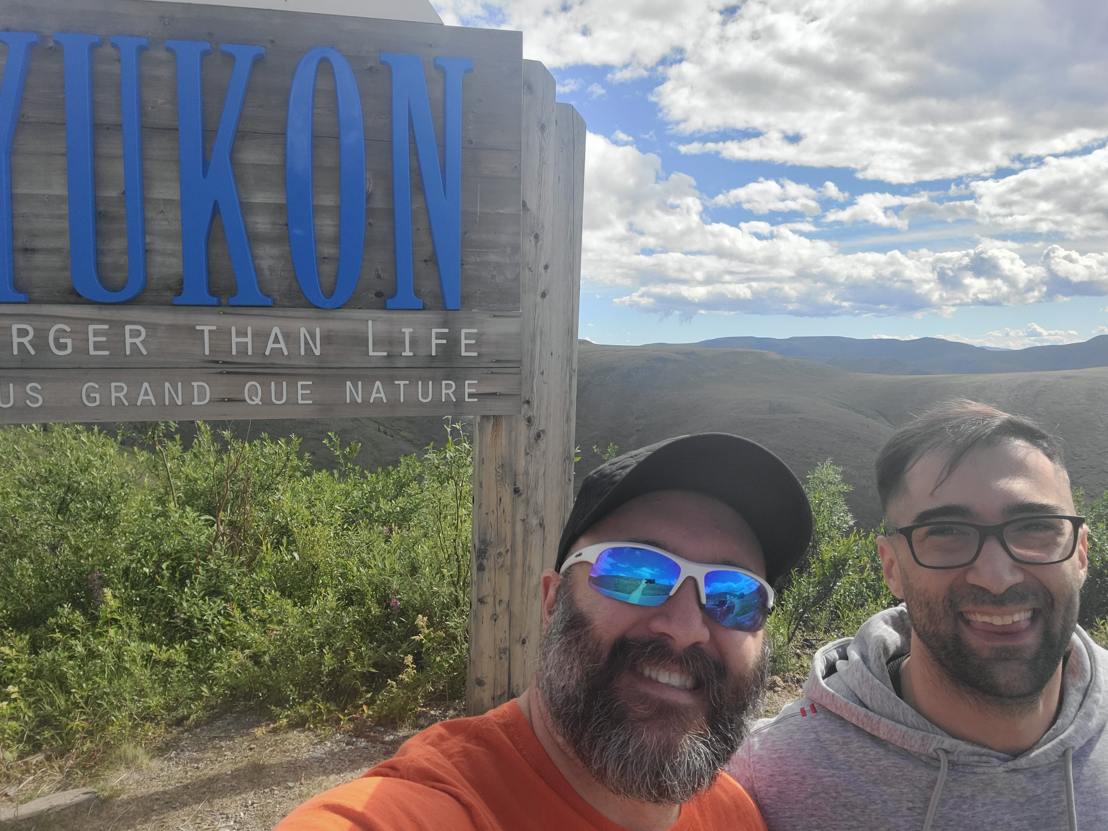
Nathaniel and Elliot in Canada. 8 hours down, 2 to go. Elliot's first time out of the states.
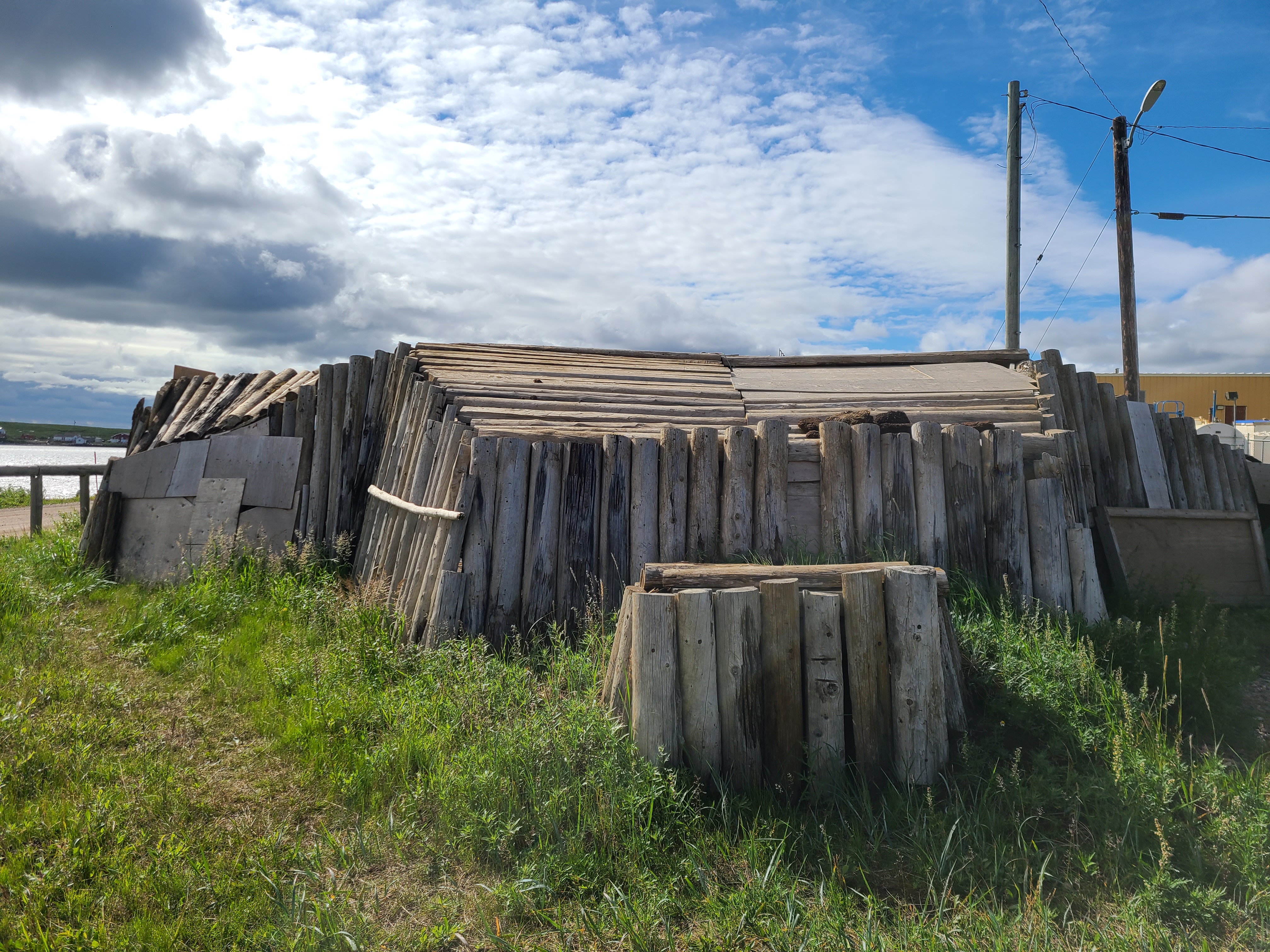
Left to sink into the sand to show how challenging it was the build in the constantly freezing/thawing land.
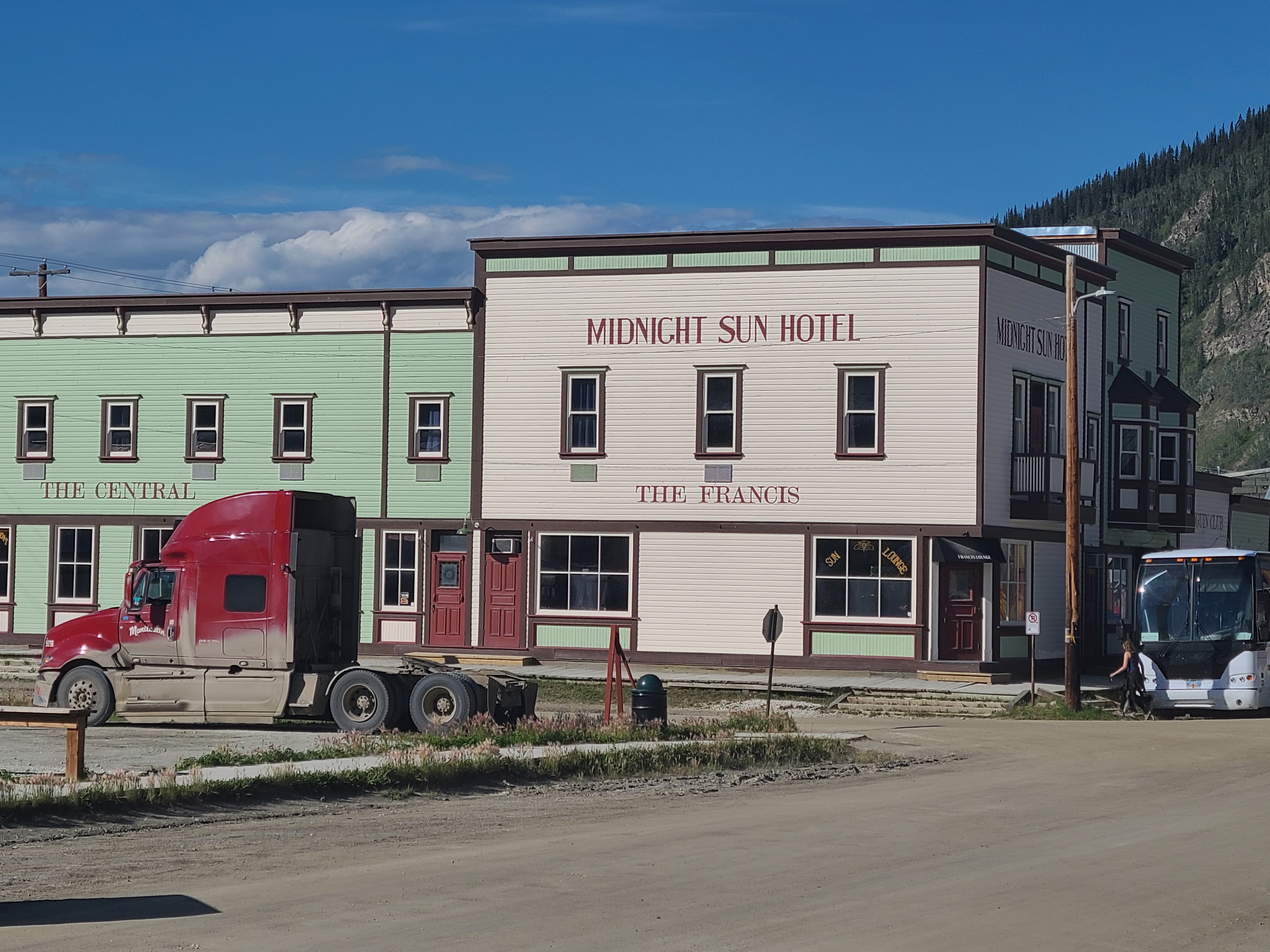
Things are constantly dull in the winter. Bright colors help stave off madness.
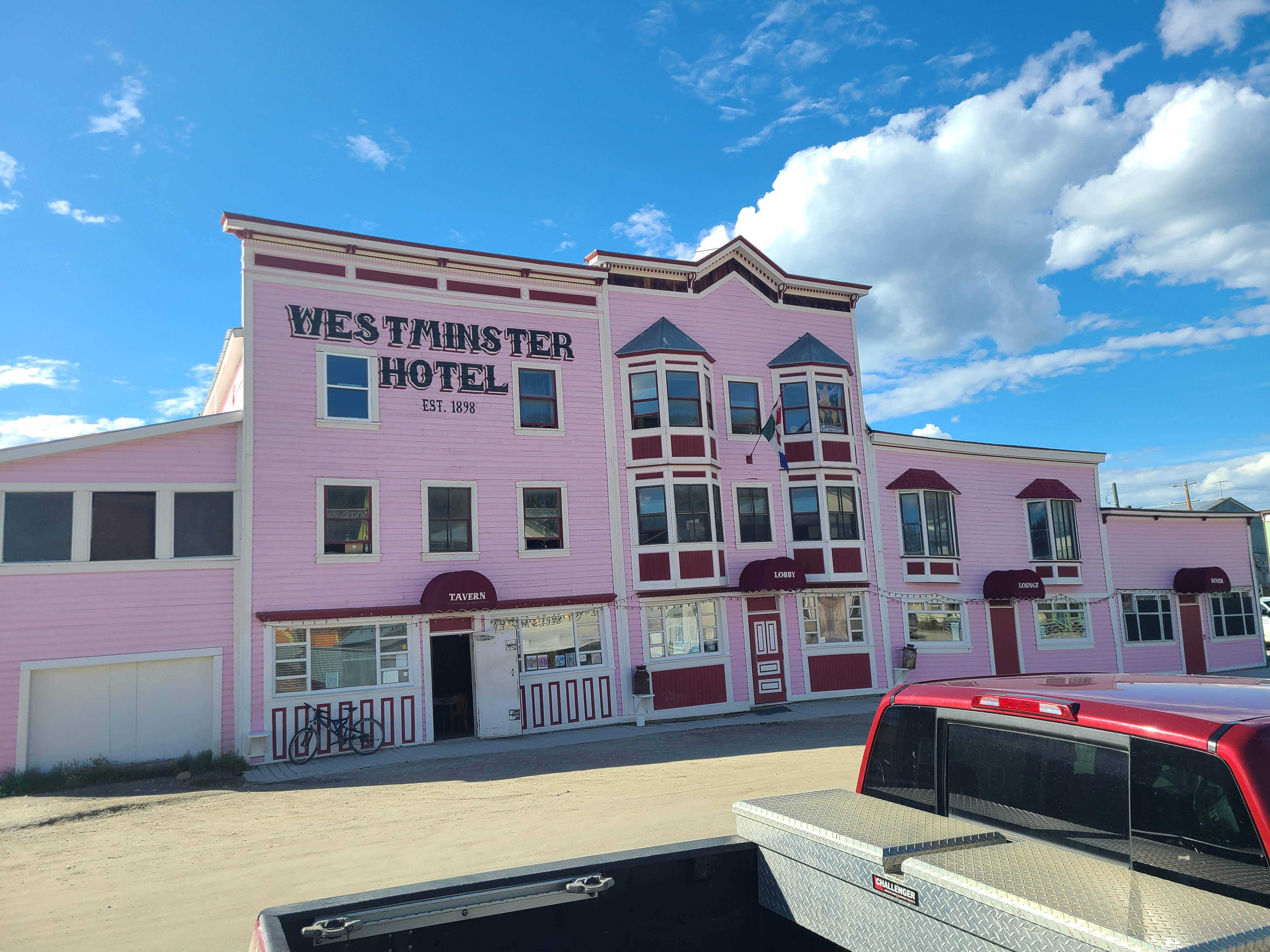
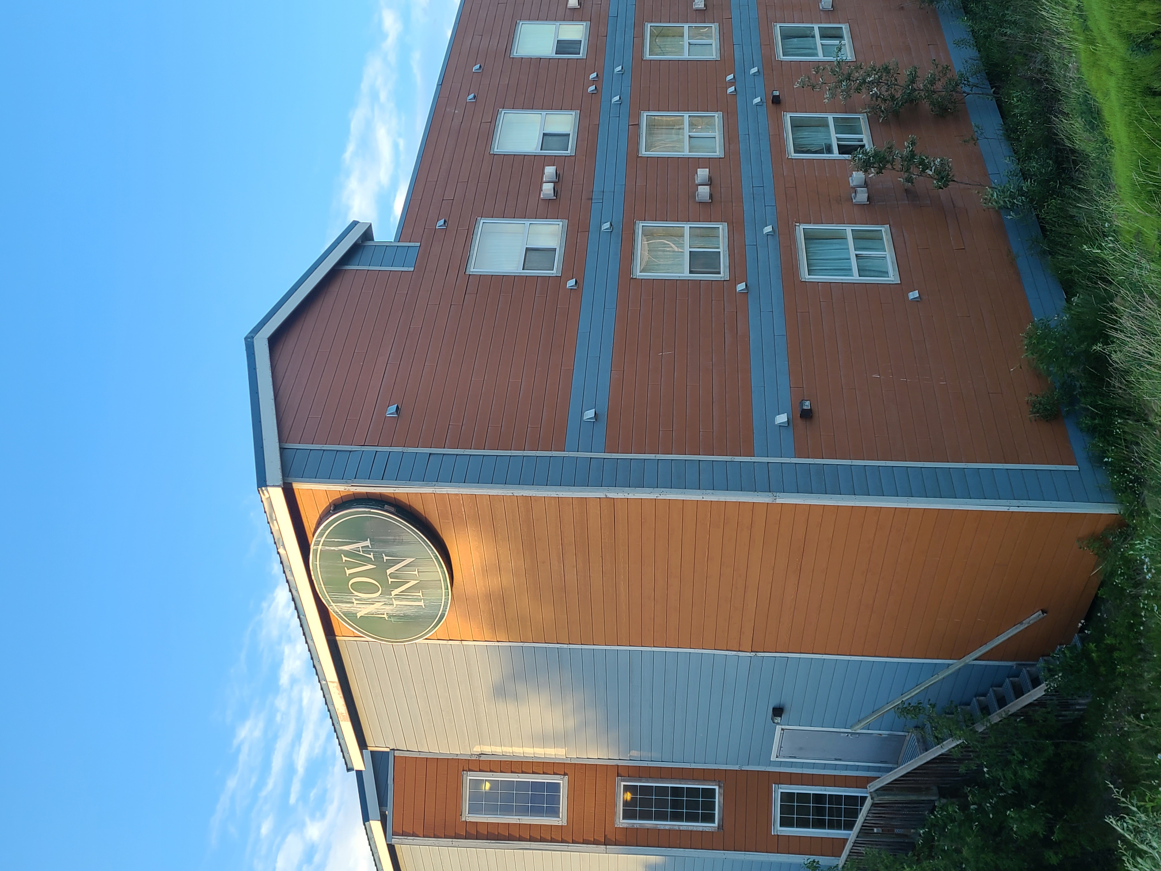
It was about 18:00, and that's just a cool name for a hotel.
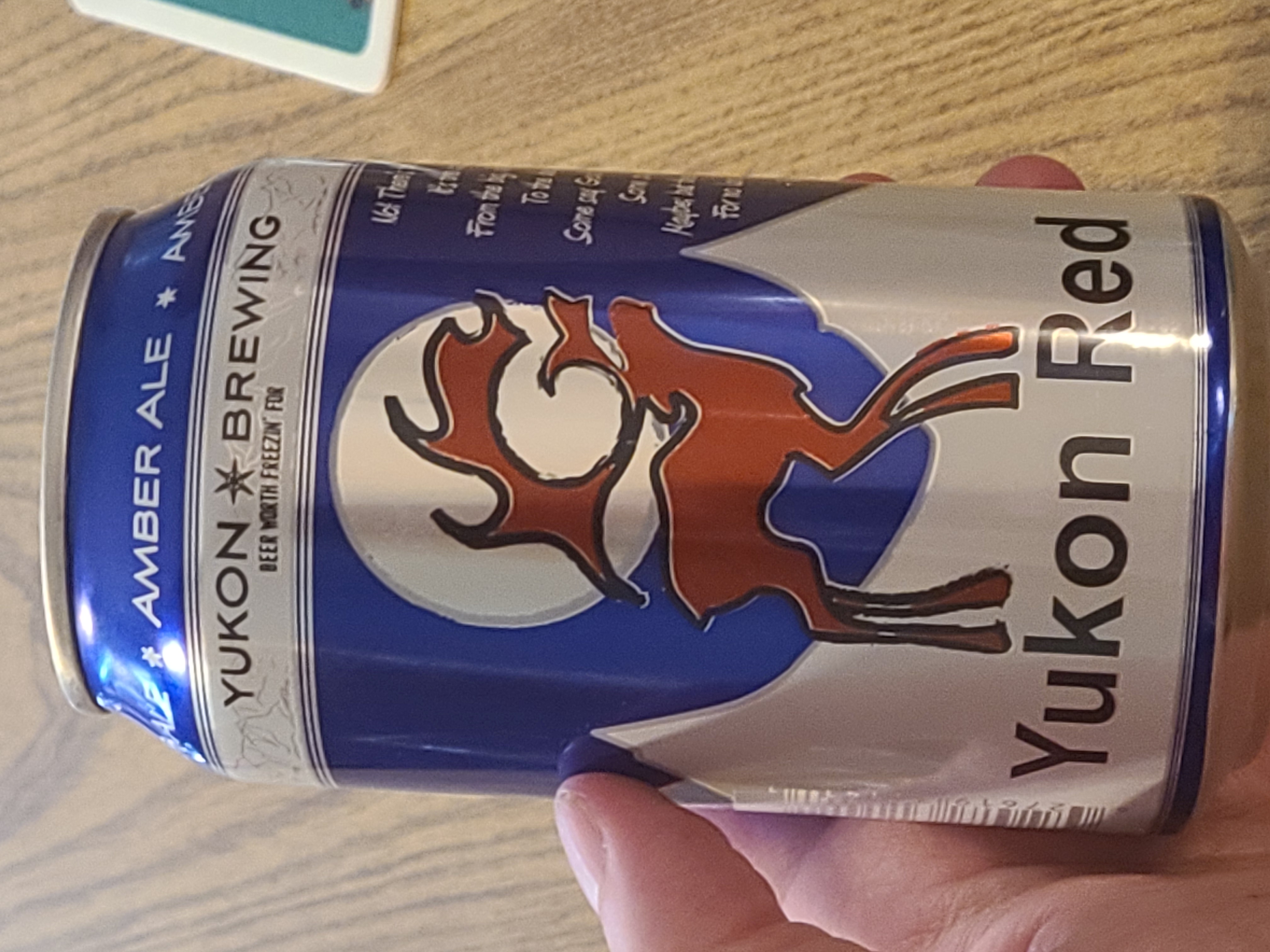
That was a great beer. Worth remembering.
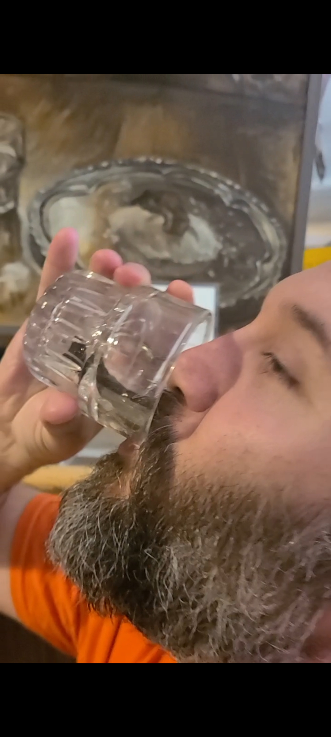
That's a preserved, frostbitten toe in that shot glass.
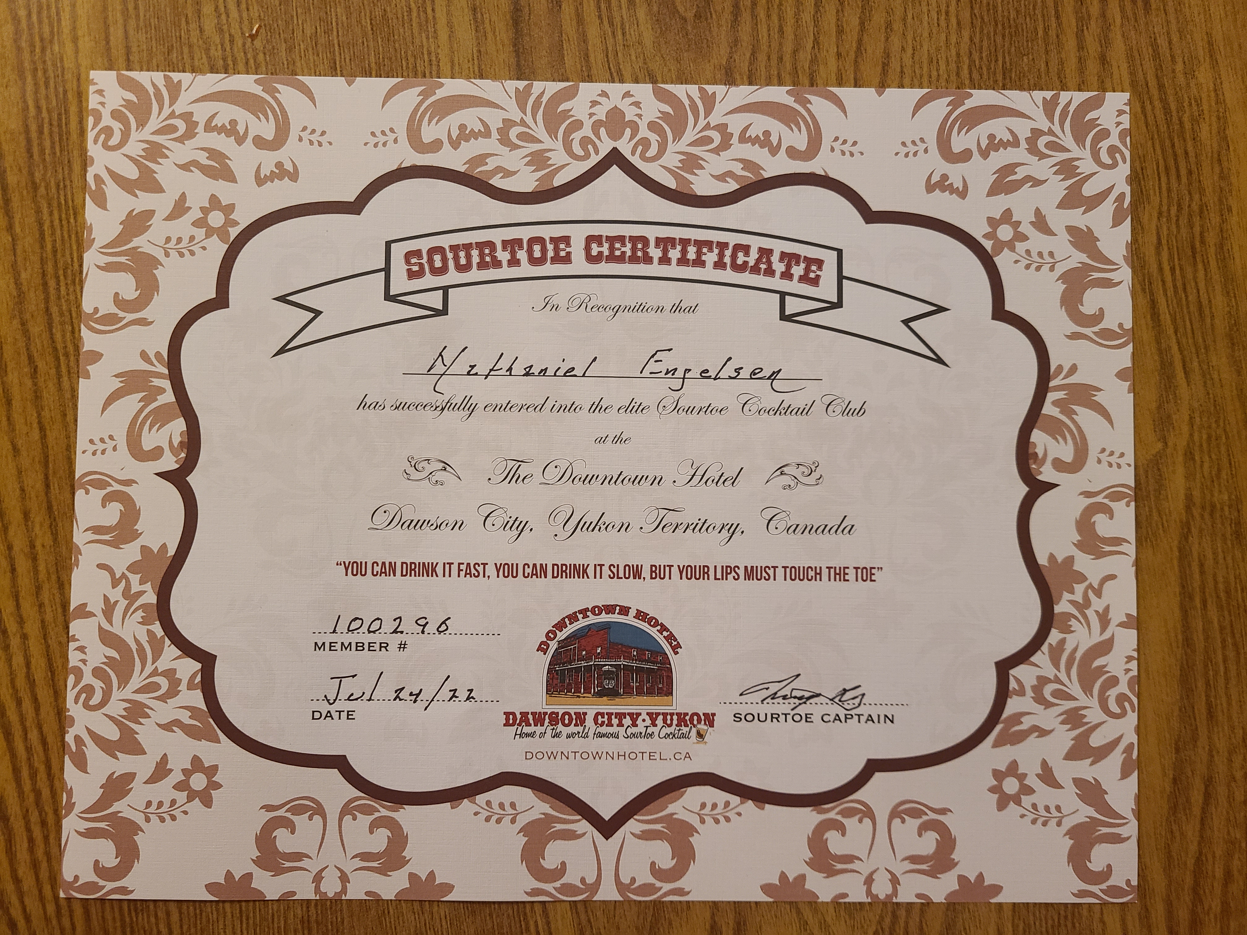
You can drink it fast. You can drink it slow. But your lips must touch the toe.
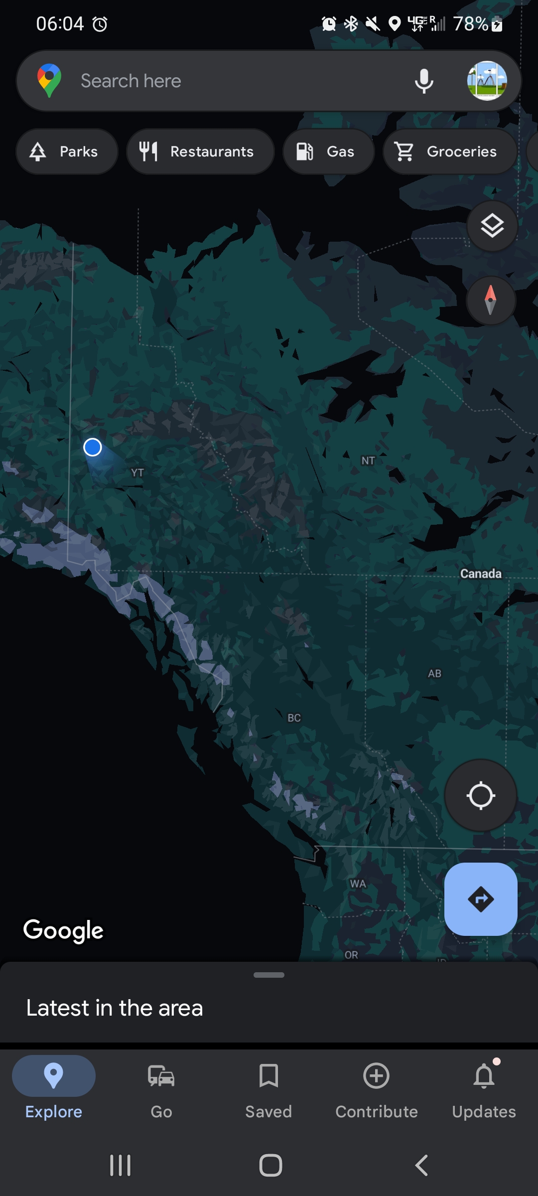
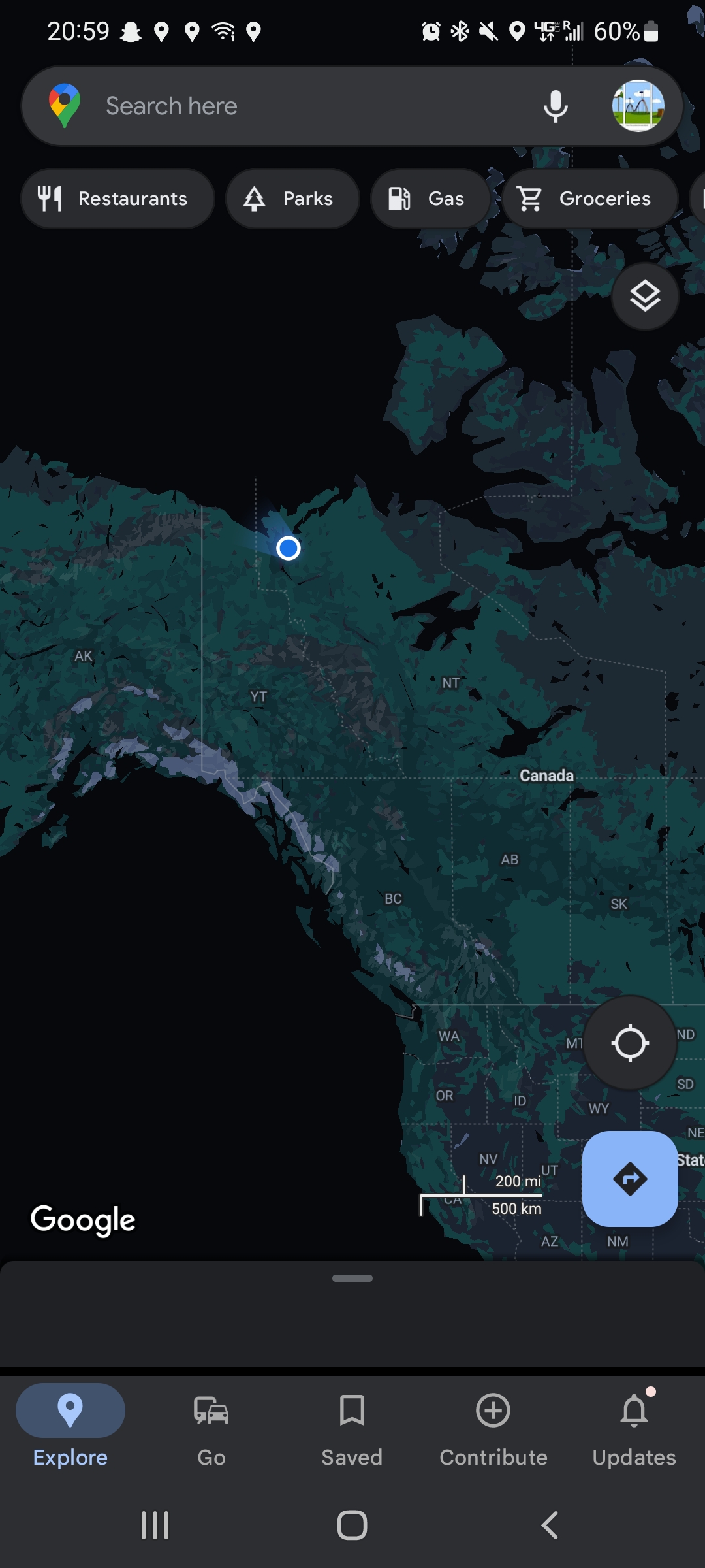
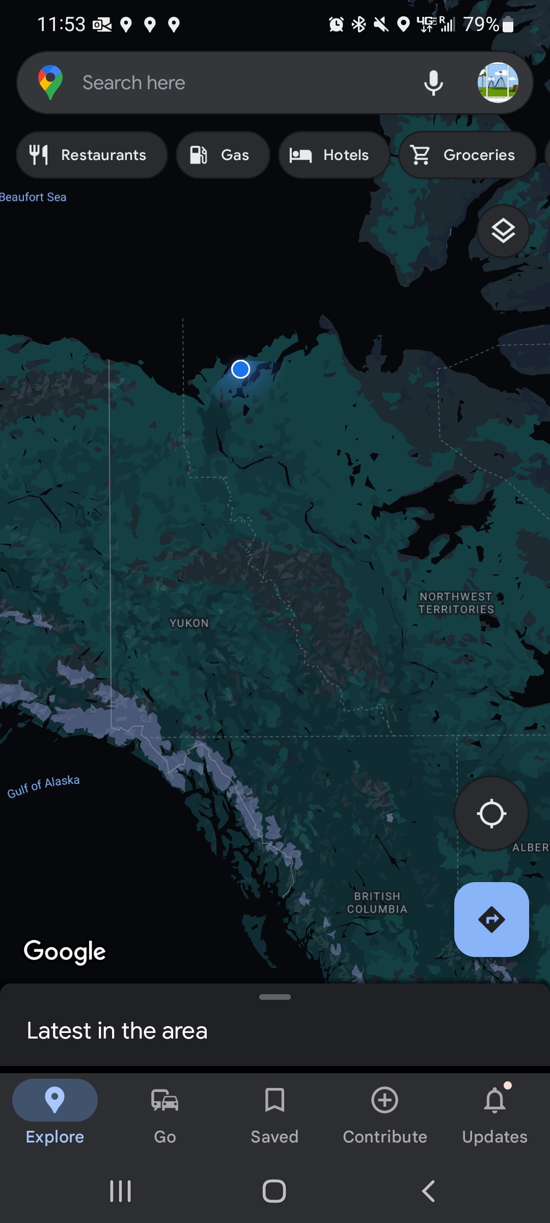
Our ping on google maps from Dawson, YT
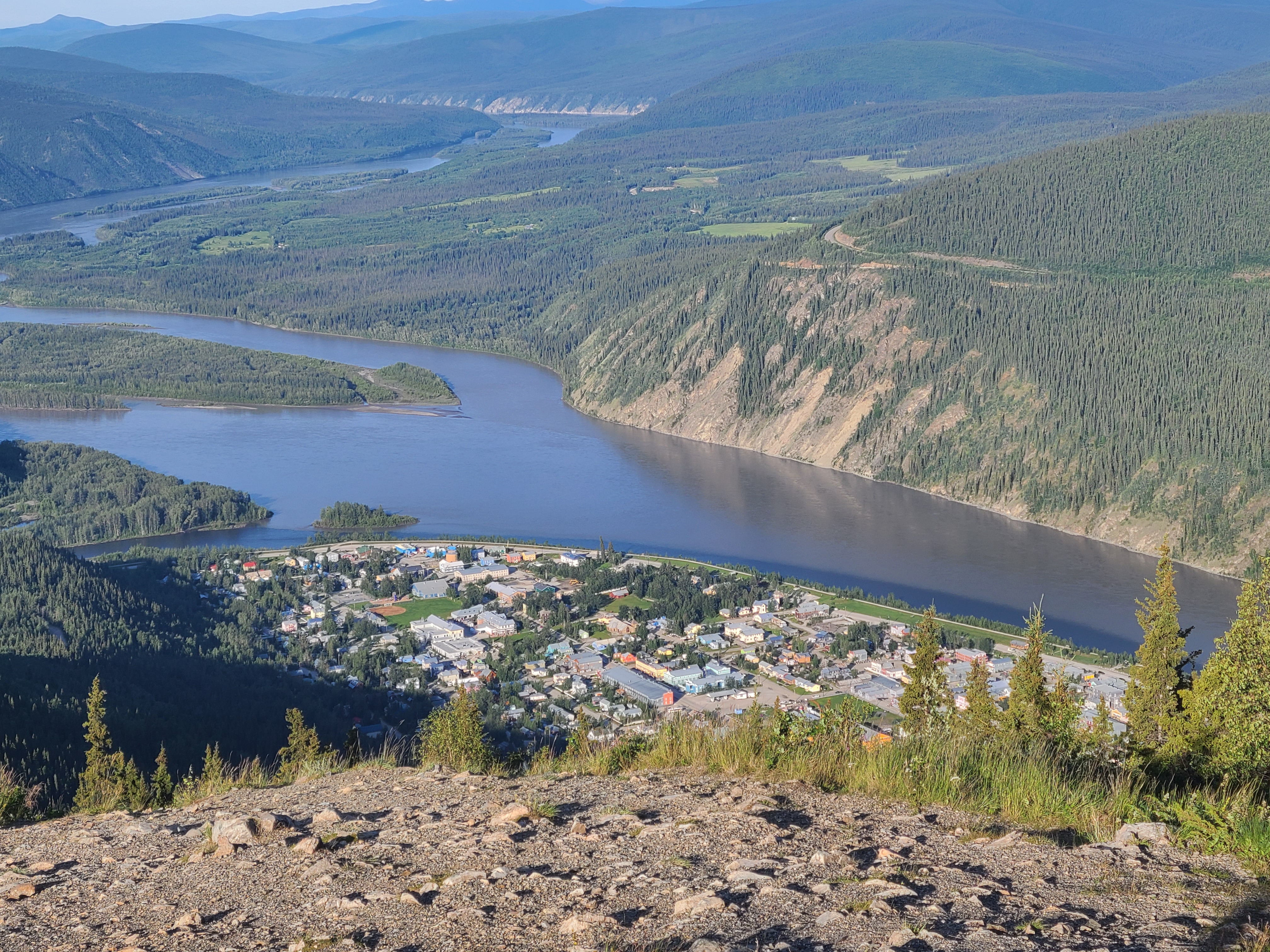
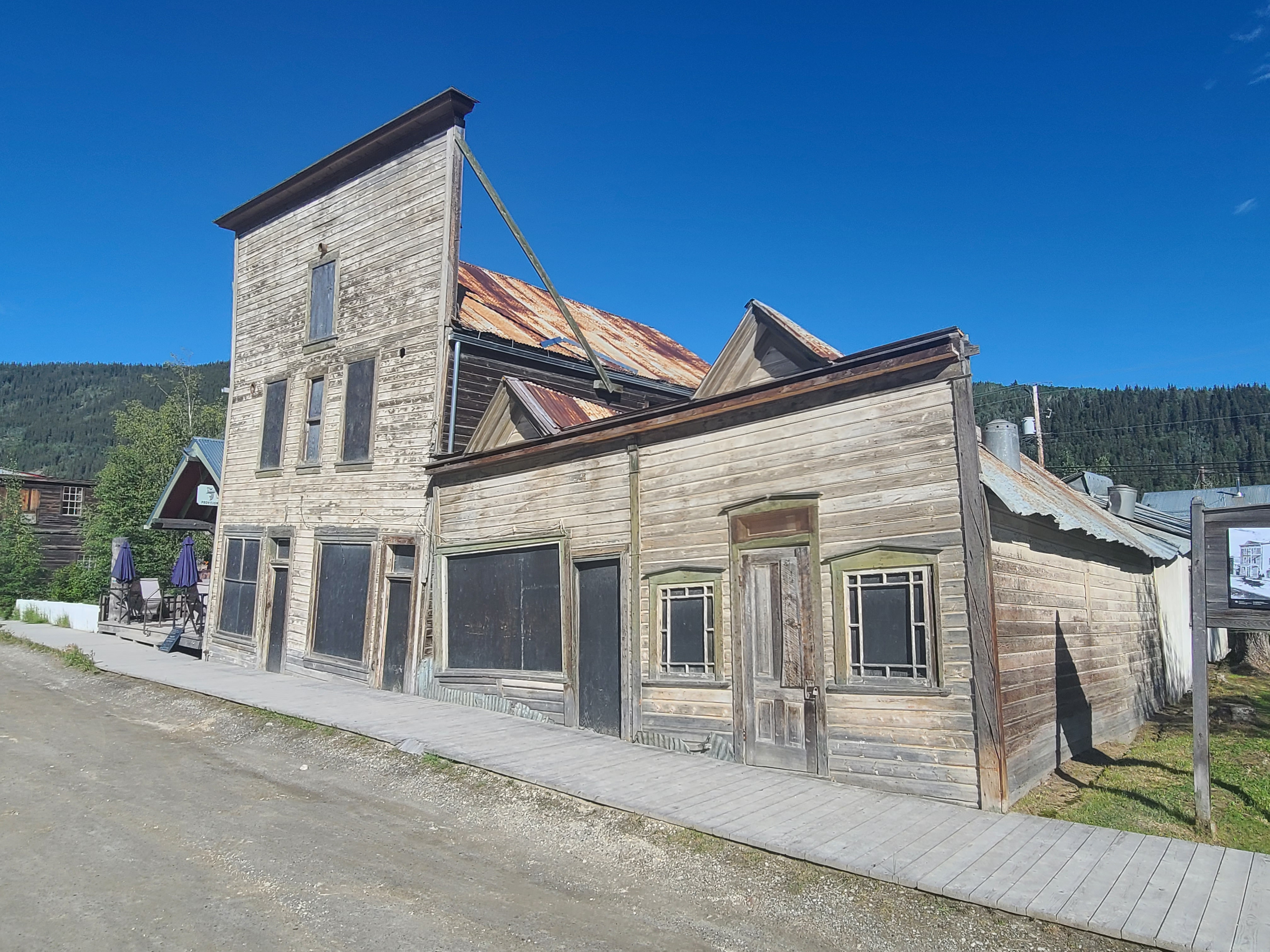
Dawson City from on high, over a kilometer up. Really cool overview, and we could feel we were about to embark on something amazing.
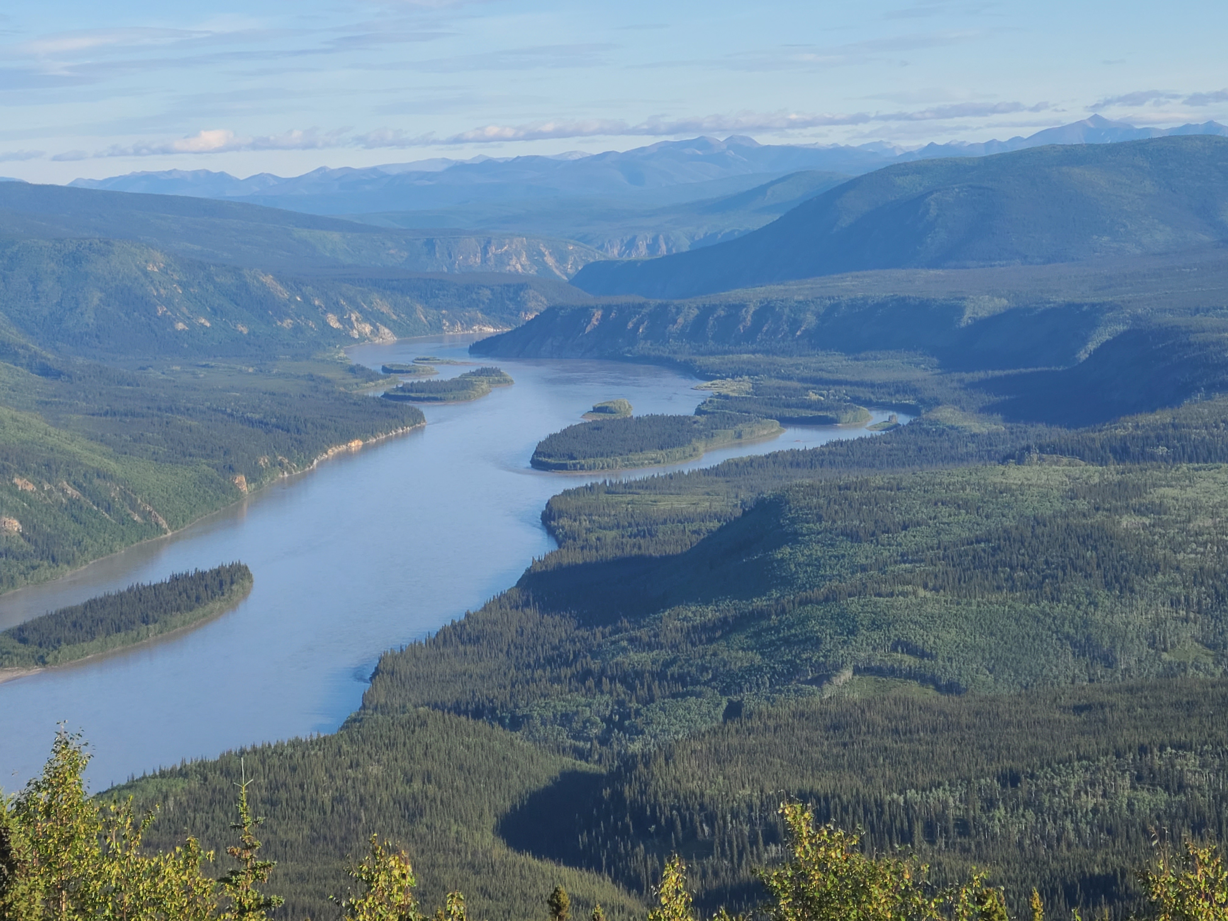
A massive, historic river. I loved being where the Yukon and the Klondike met. There's gold in them thar hills!
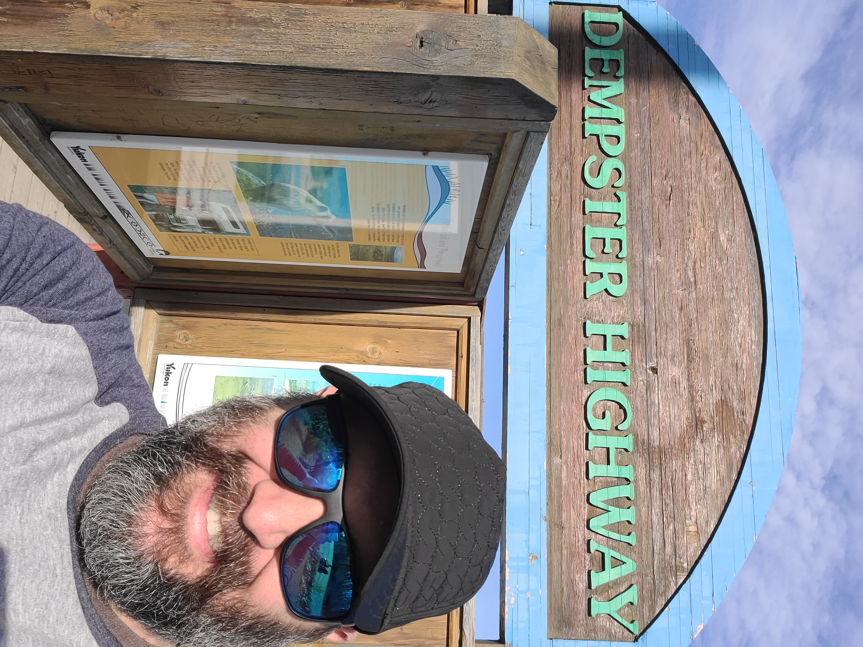
The beginning of an 800+ kilometer gravel road connecting Dawson to Inuvik and Tuktoyaktuk. Literally the only road north into the Western Canadian Arctic.
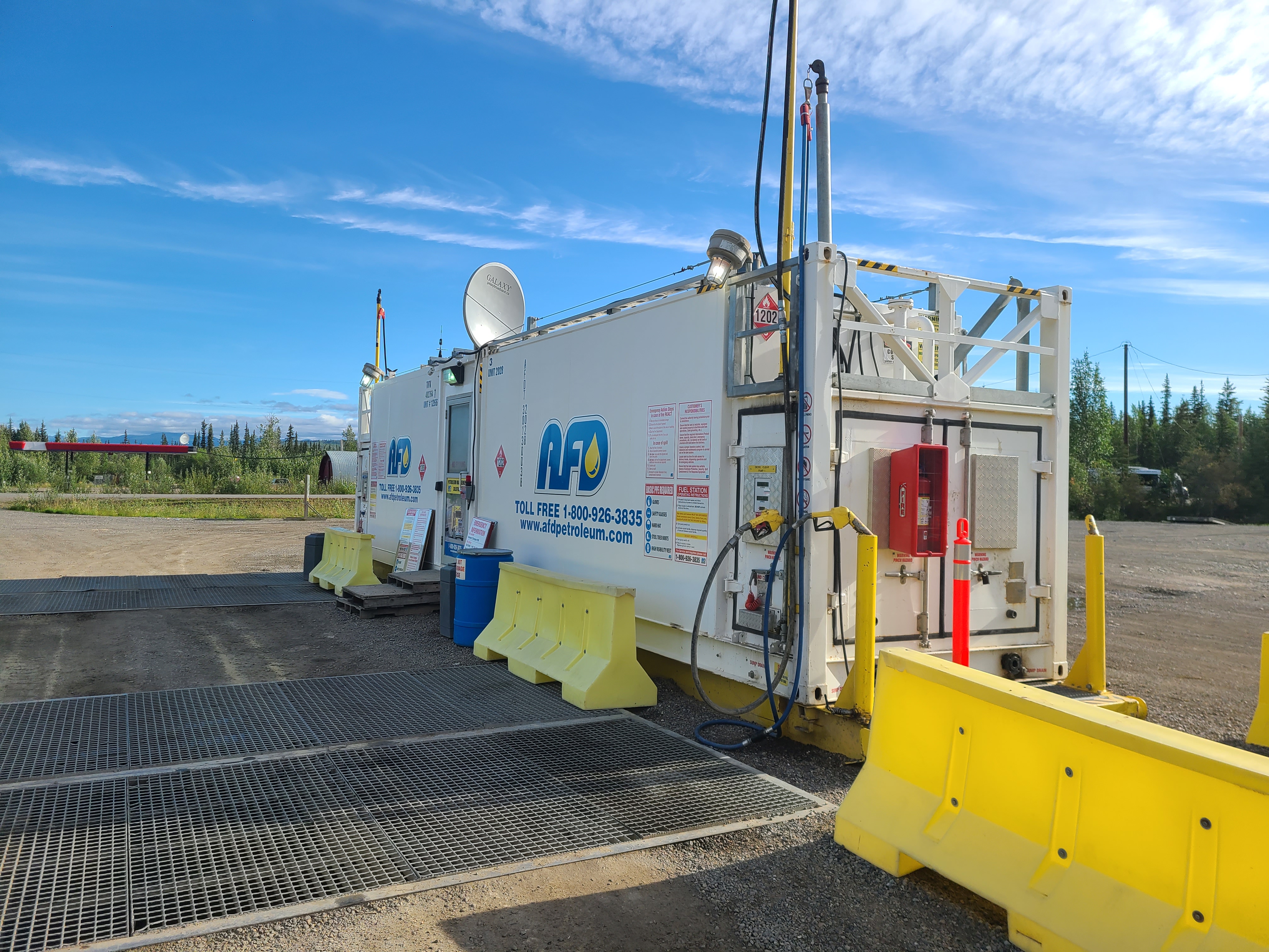
Slide your card, get gas. Sensors tell the company when to refill. Efficient, and practical. Would still suck dealing with it in the winter.
A signpost with the main reasons to be on the Dempster - a stopover at Eagle Plains, visiting Inuvik, and eventually checking out the Arctic Ocean.
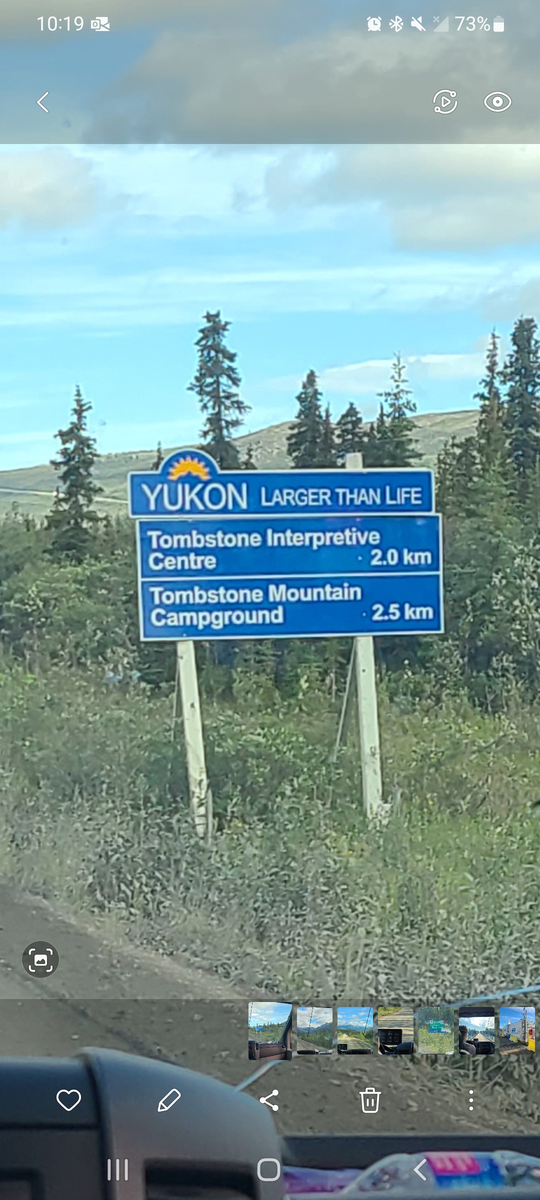
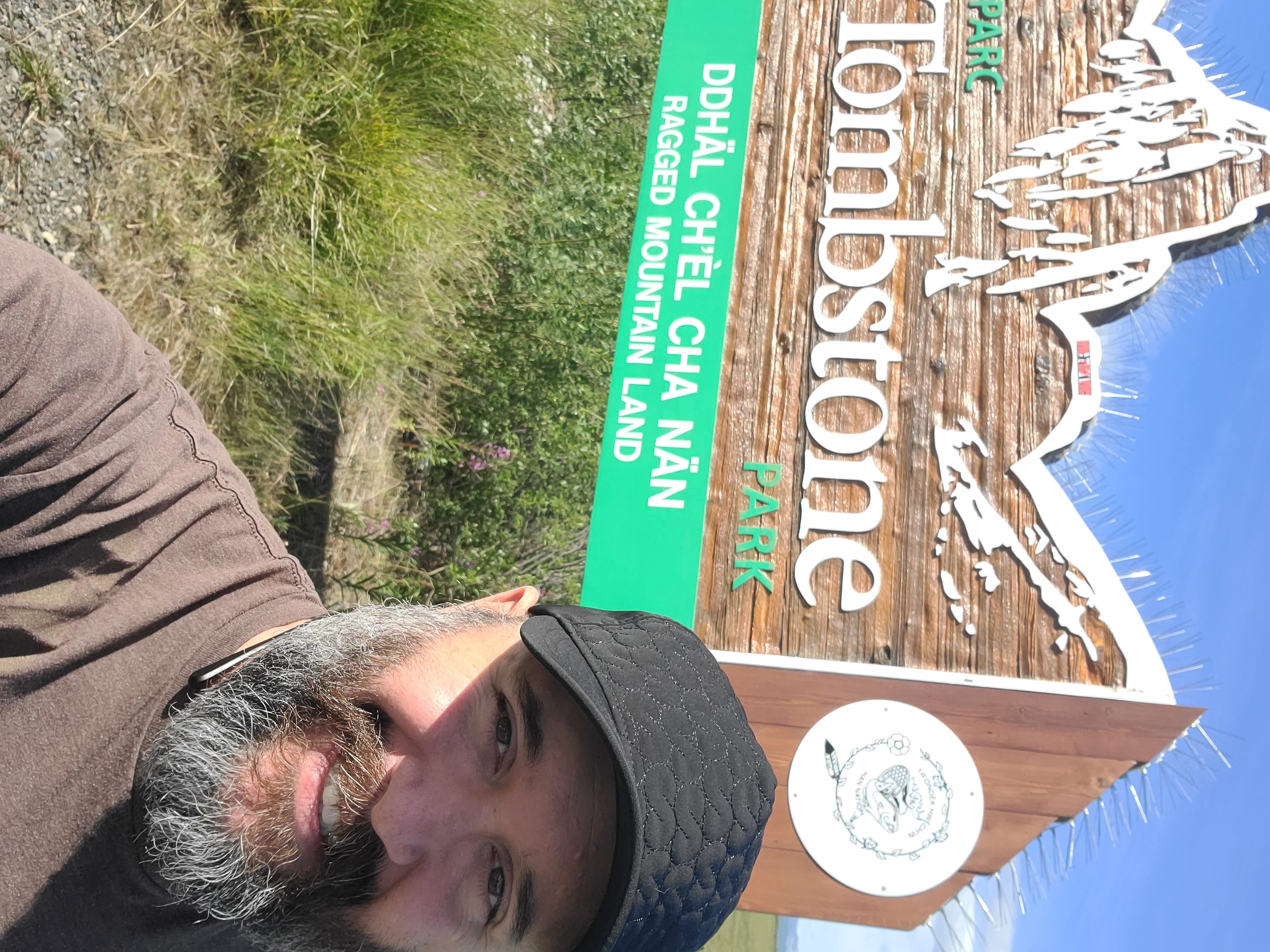
Pretty close to Tombstone Park, this is the only tourist street sign on the Dempster that I remember seeing.
The most famous part of the early Dempster Highway. A quick hour away from Dawson City.
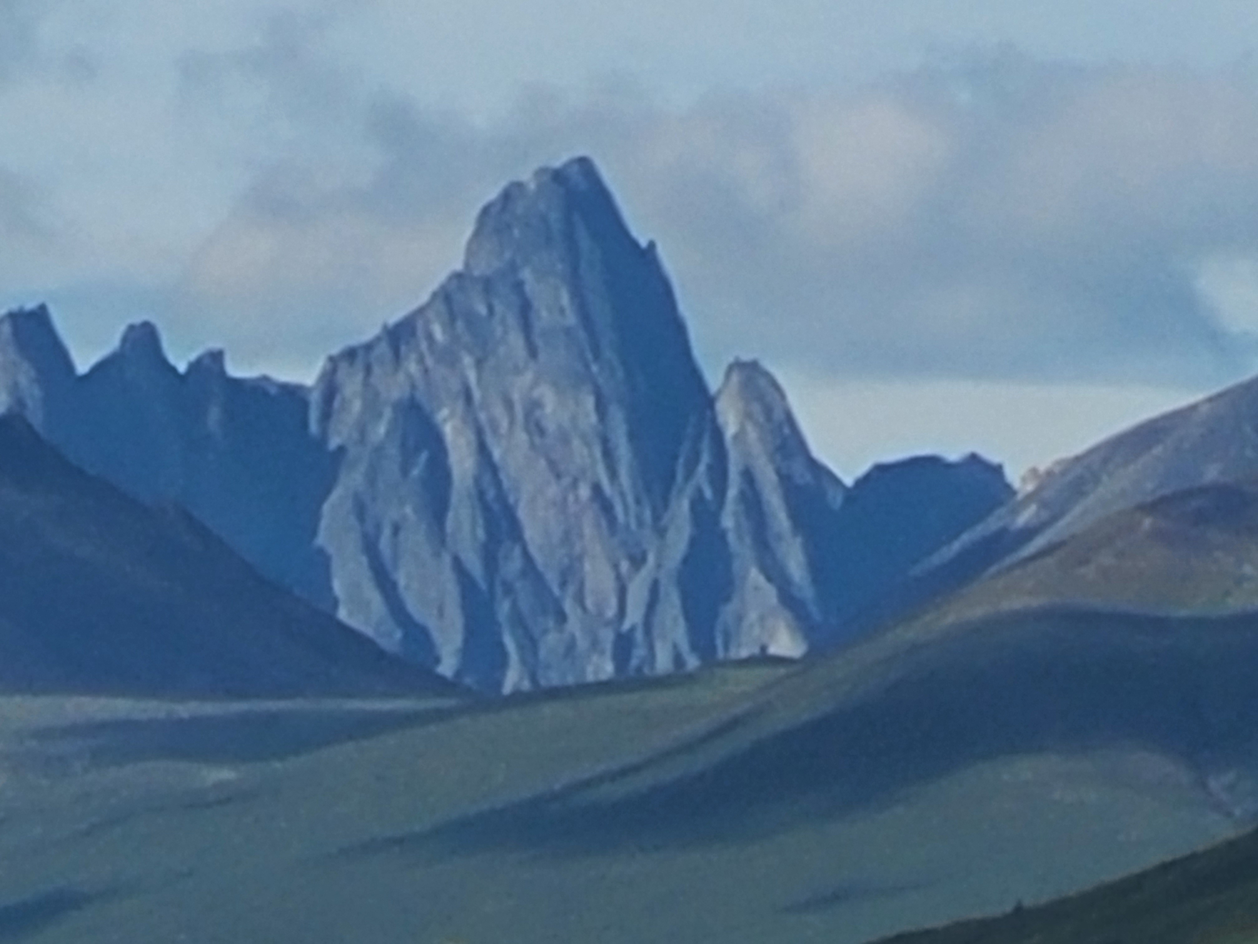
The mighty Tombstone Mountain, 11 miles away from the road. Most majestic of the Ogilvie Mountains.
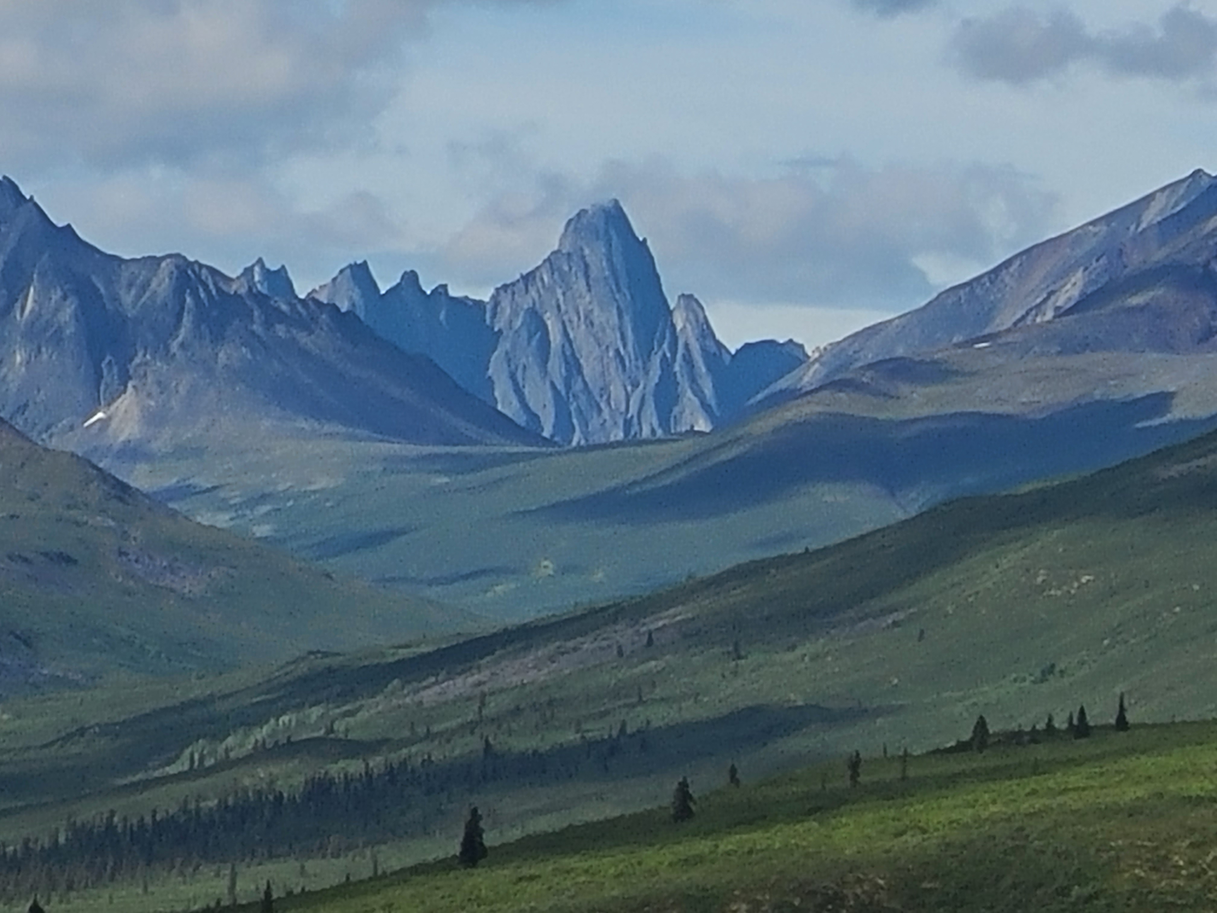
A wider view of some of the mountains within Tombstone Provincial Park.
A fun look at Nathaniel with the Ogilvies and Tombstone behind.
Another shot of Nathaniel at the Ogilvies. Tombstone is 11 kilometers away.
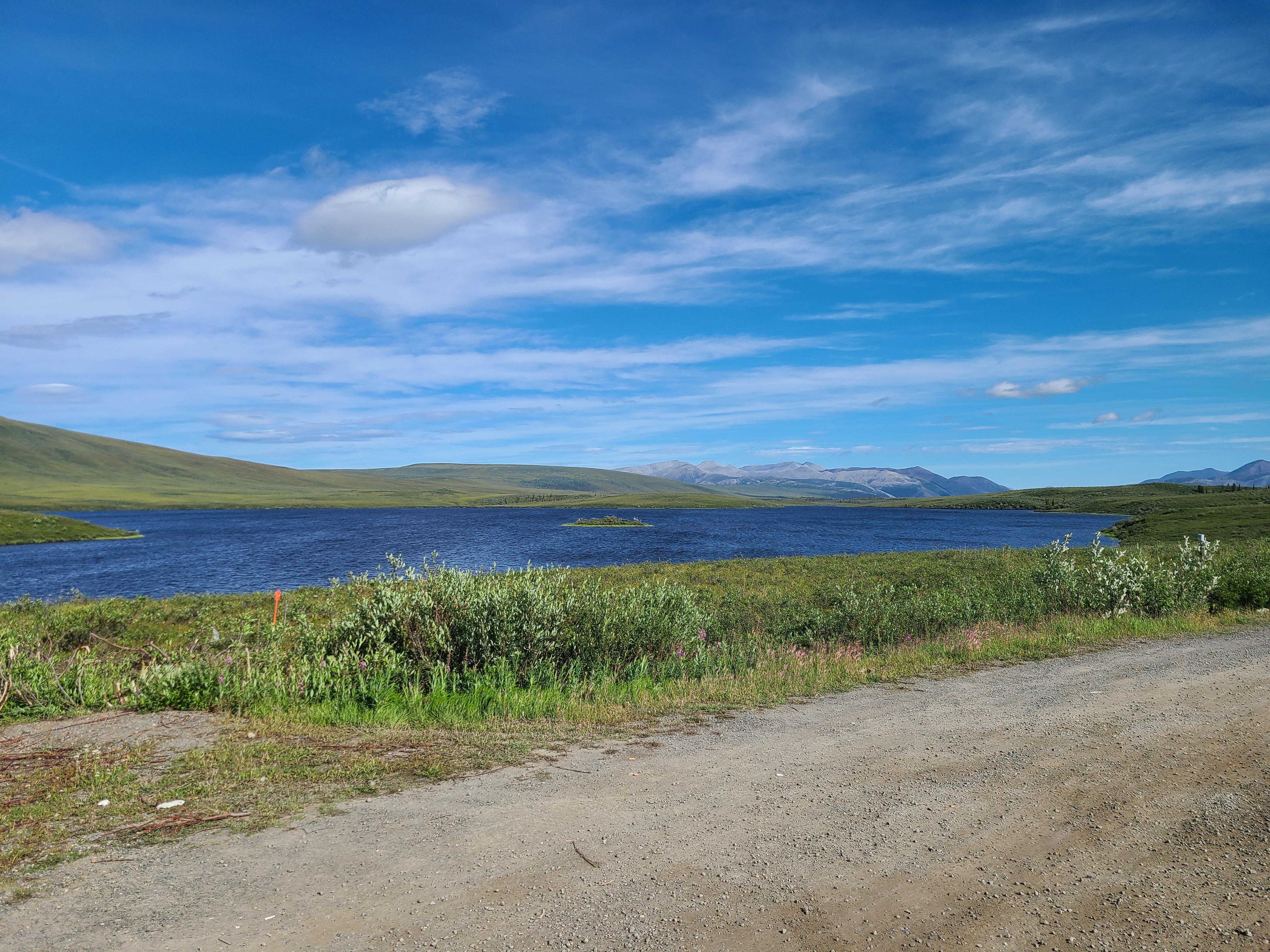
One of a tremendous number of lakes we saw during our excursion. Much larger and grand than the picture can communicate.
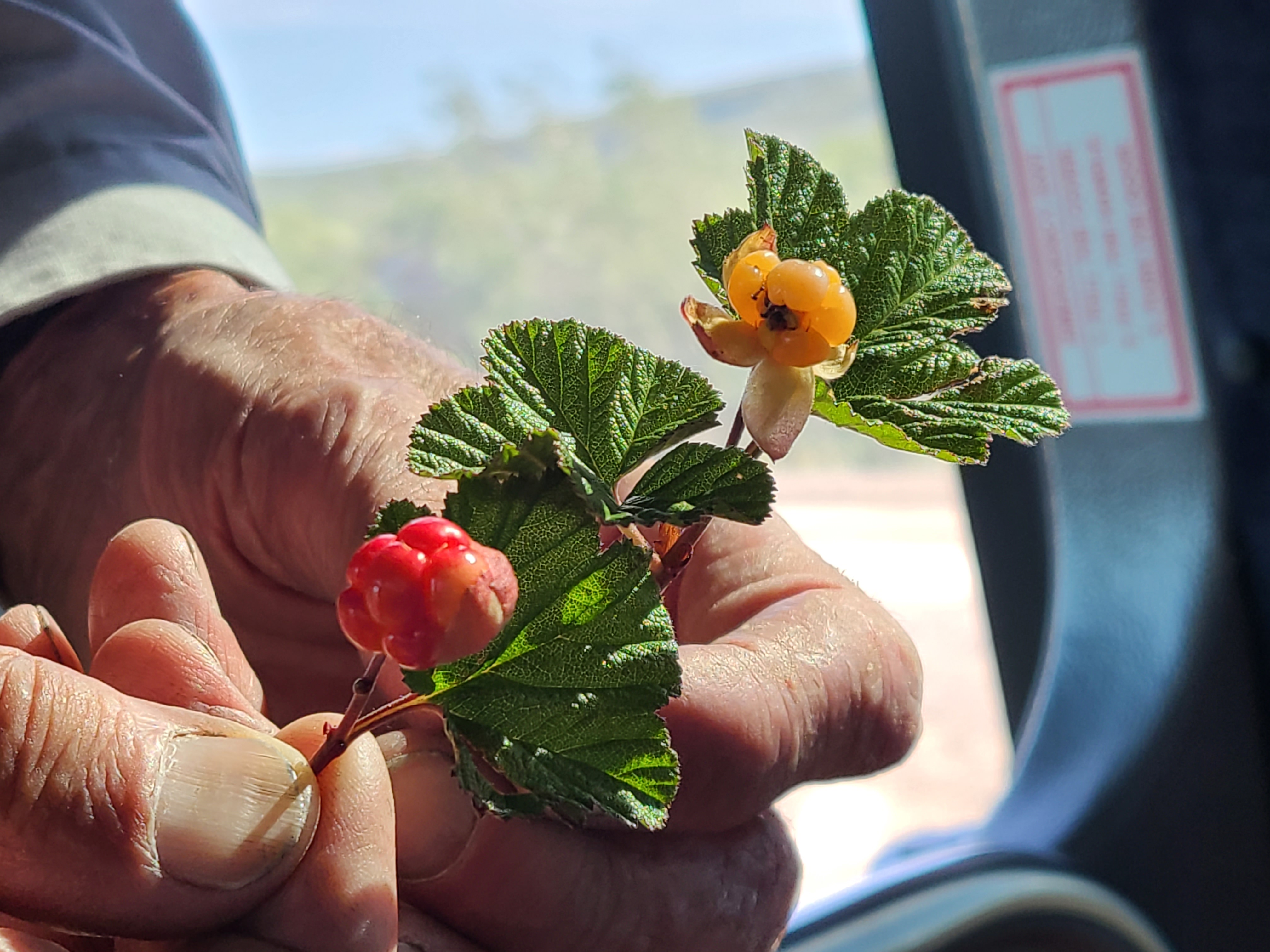
Growing all over the Arctic, these berries are only found in northern latitudes. Pick 'em when they're yellow with a red pallor.
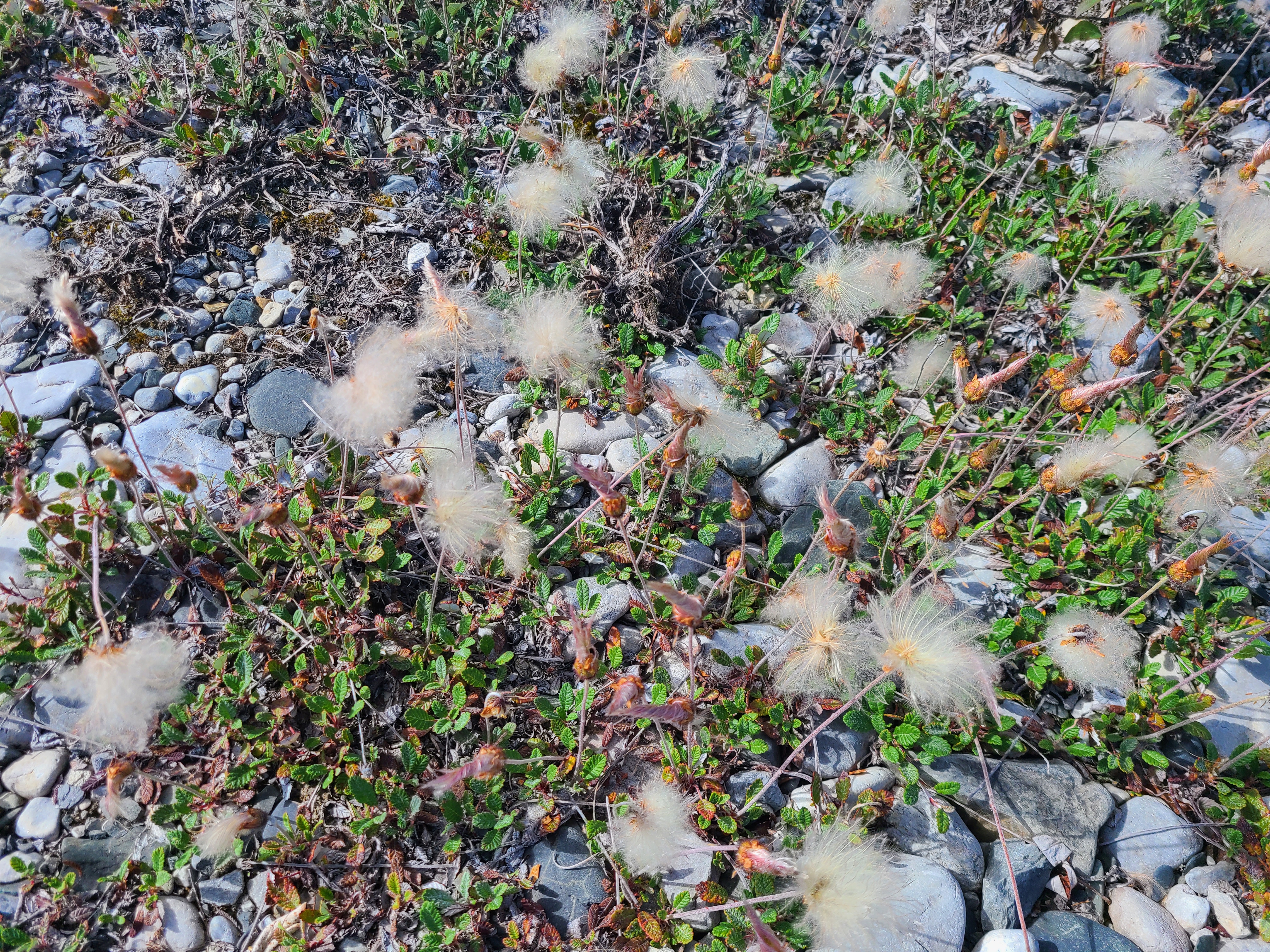
Cottongrass grows all over the Arctic and is used in the making of paper, wicks, and pillows.
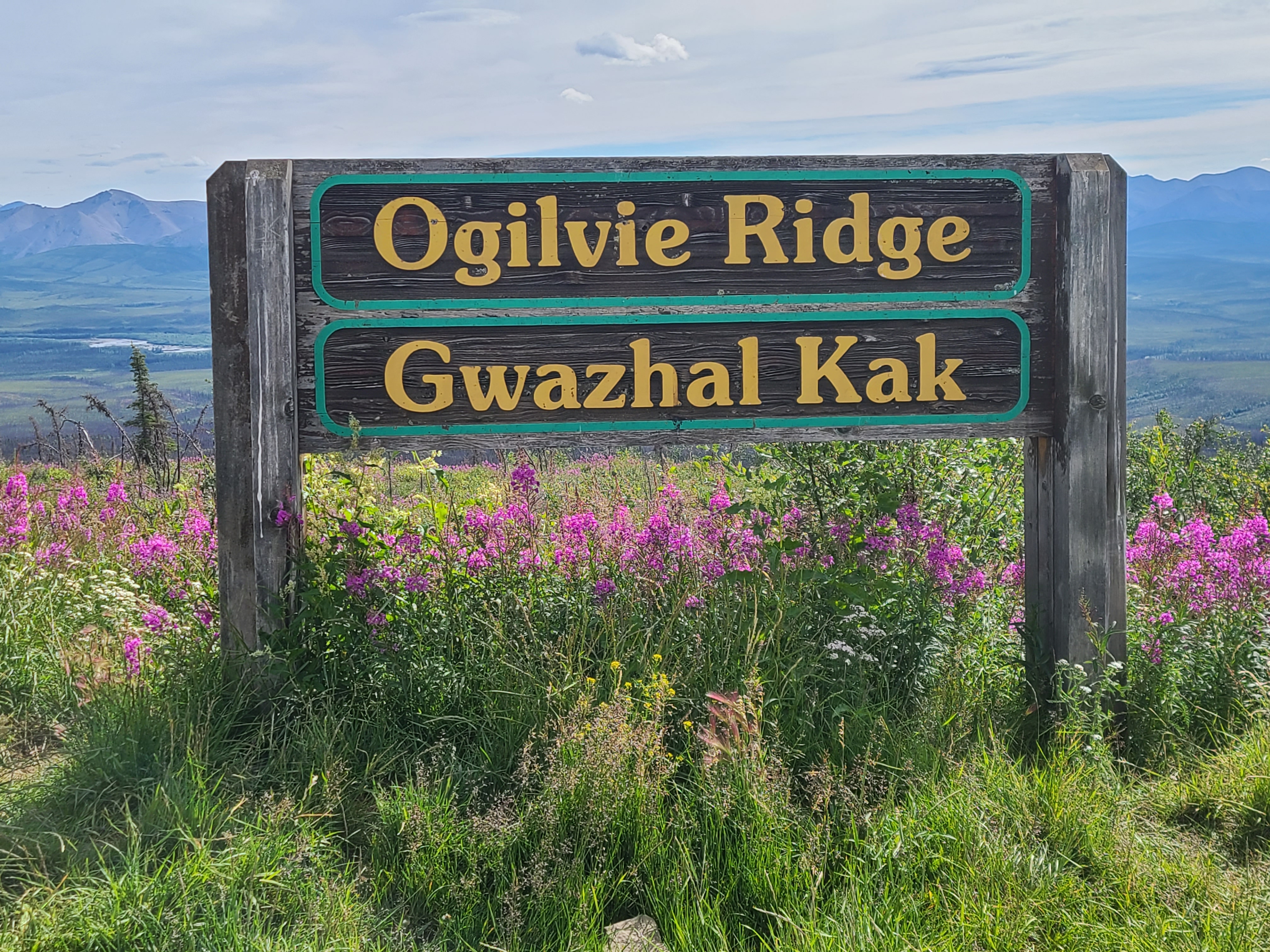
Ogilvie Ridge is a beautiful viewpoint of the northernmost Ogilvie Mountains.
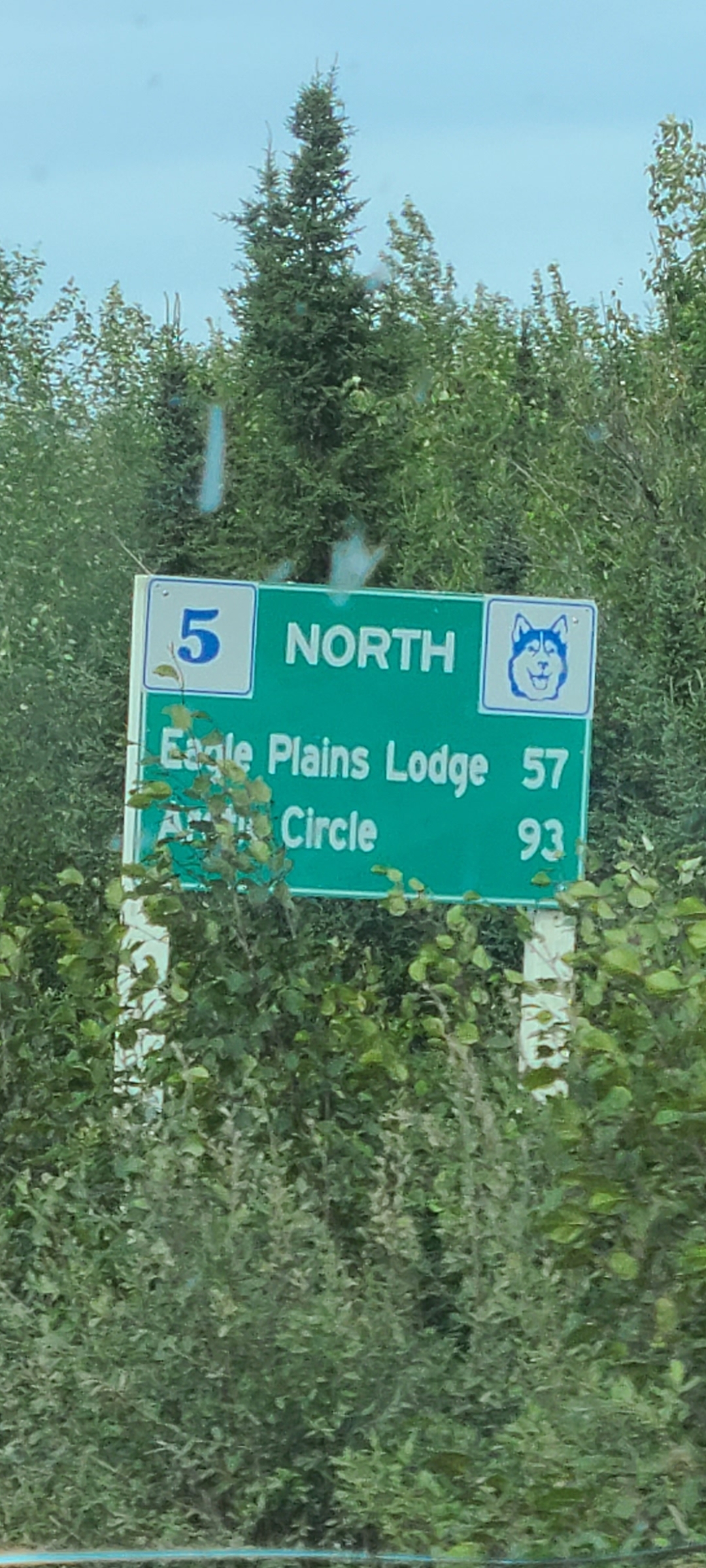
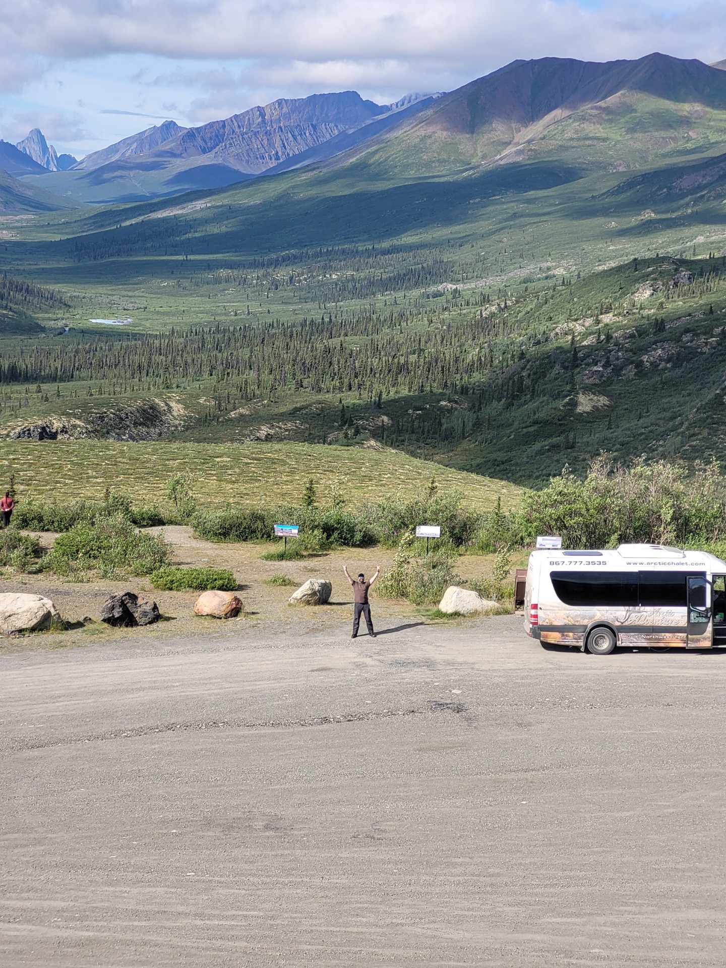
Another 45 minutes or so (30 the way Olav drives) before stopping for the evening!
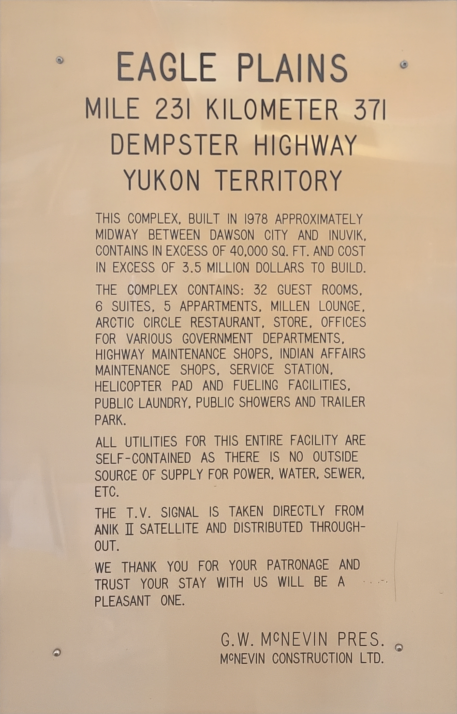
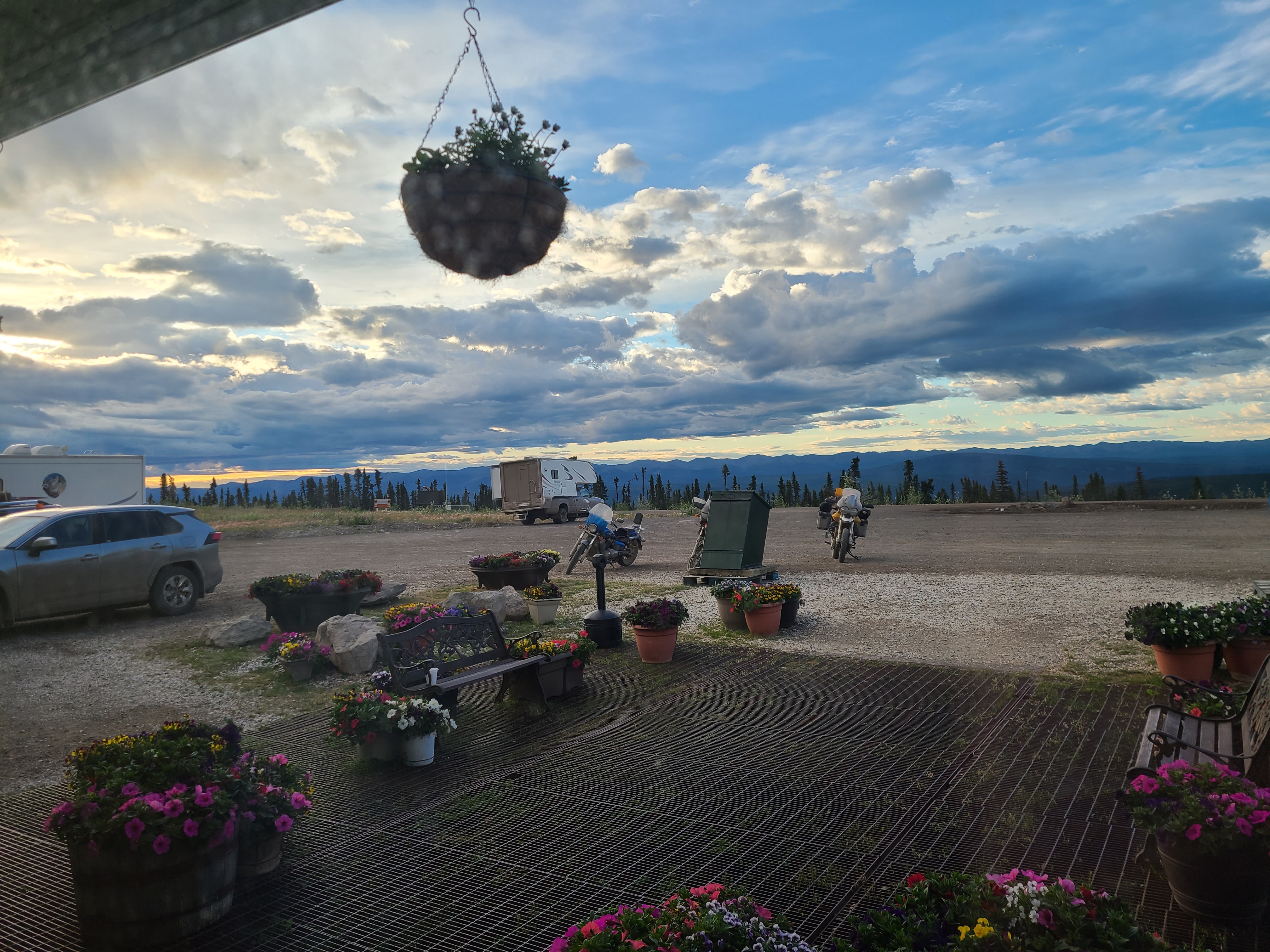
Cool plaque at the only Canadian civilization for 500 kilometers.
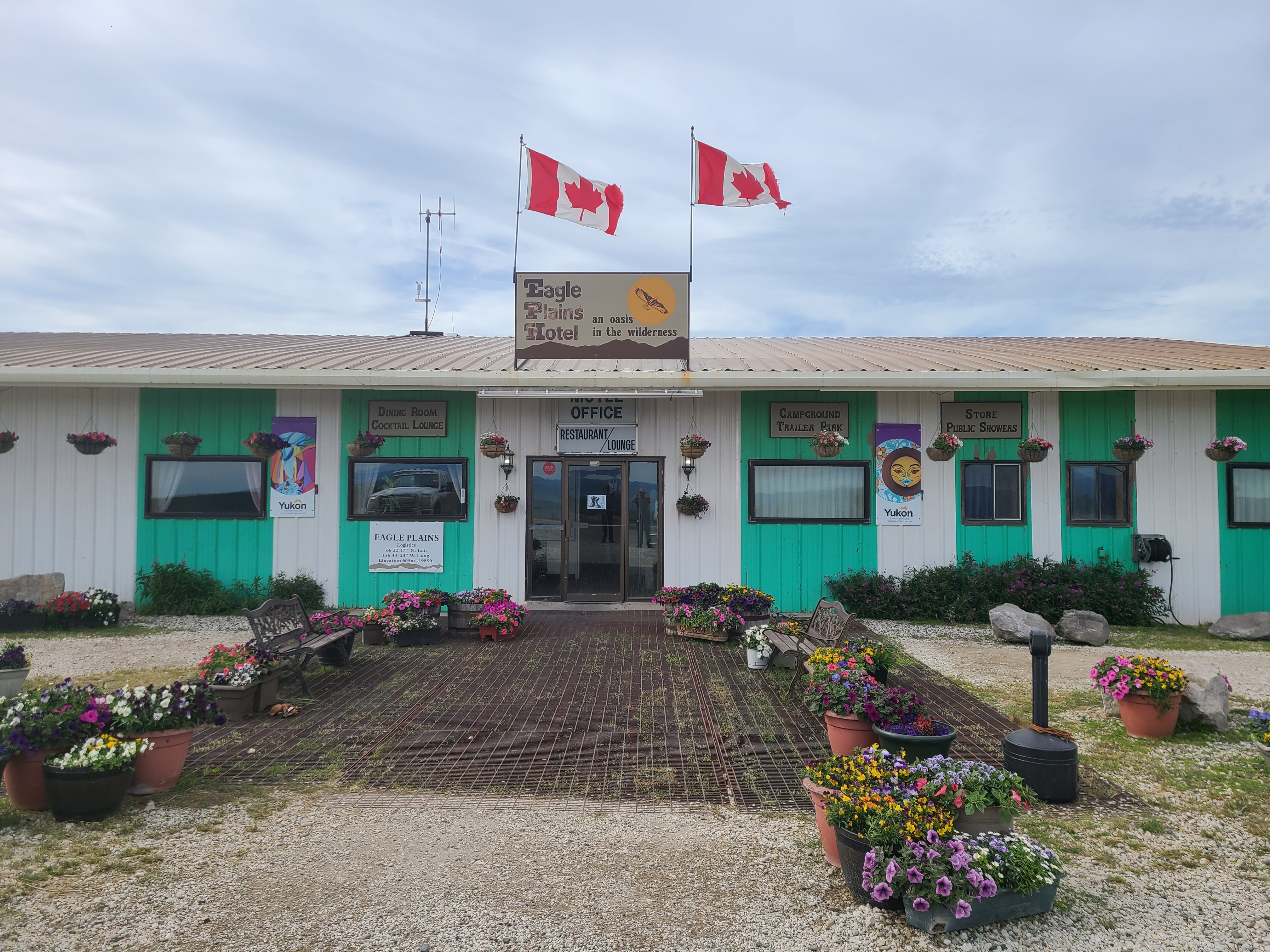
Commemorating the end of the day.
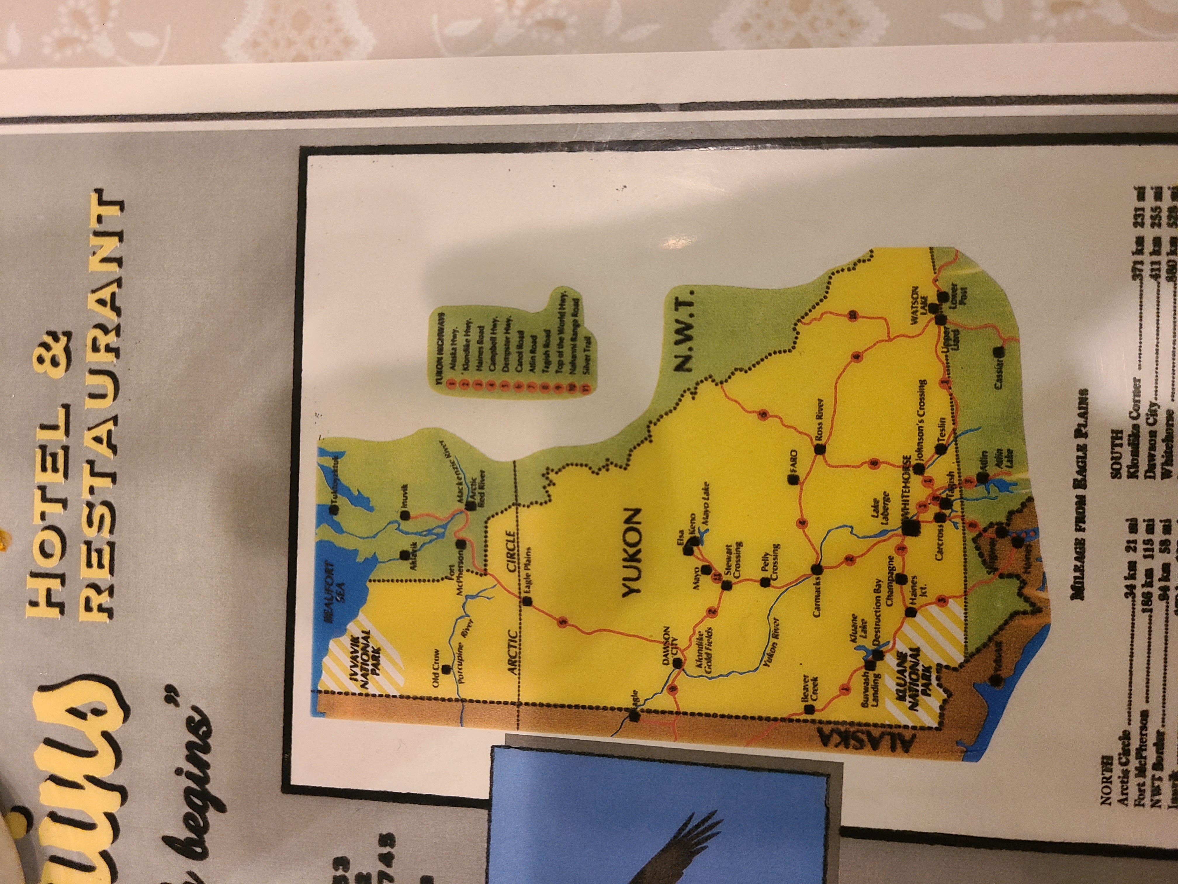
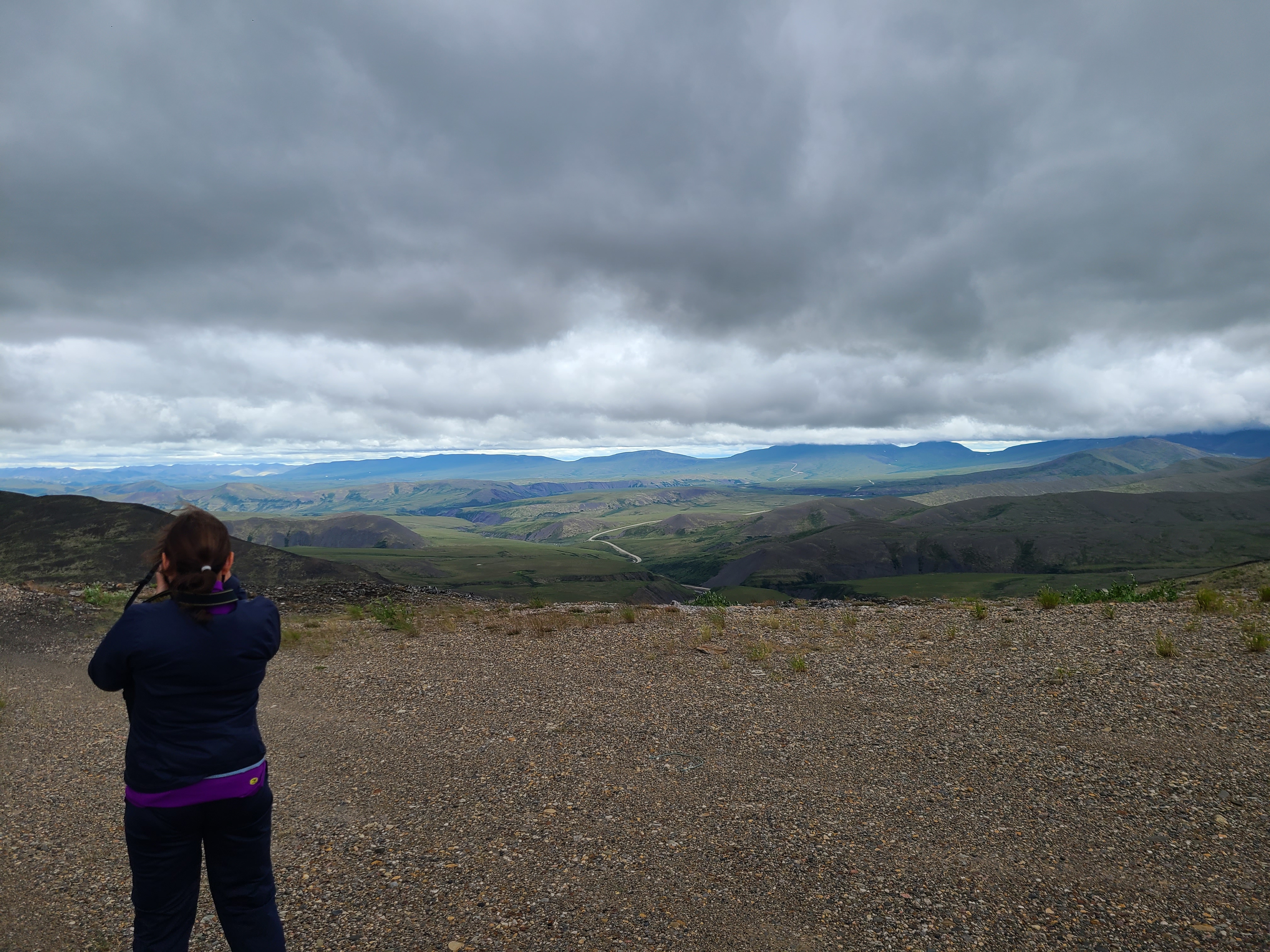
Overlooking the Eagle Plains and the southernmost Richardson Mountains behind them. The famous Peel river is behind those ridges.
You are here.
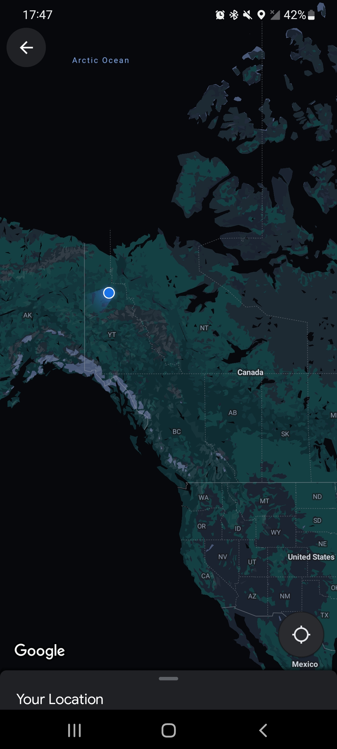
Our ping on google maps from Eagle Plains Hotel in the Yukon.
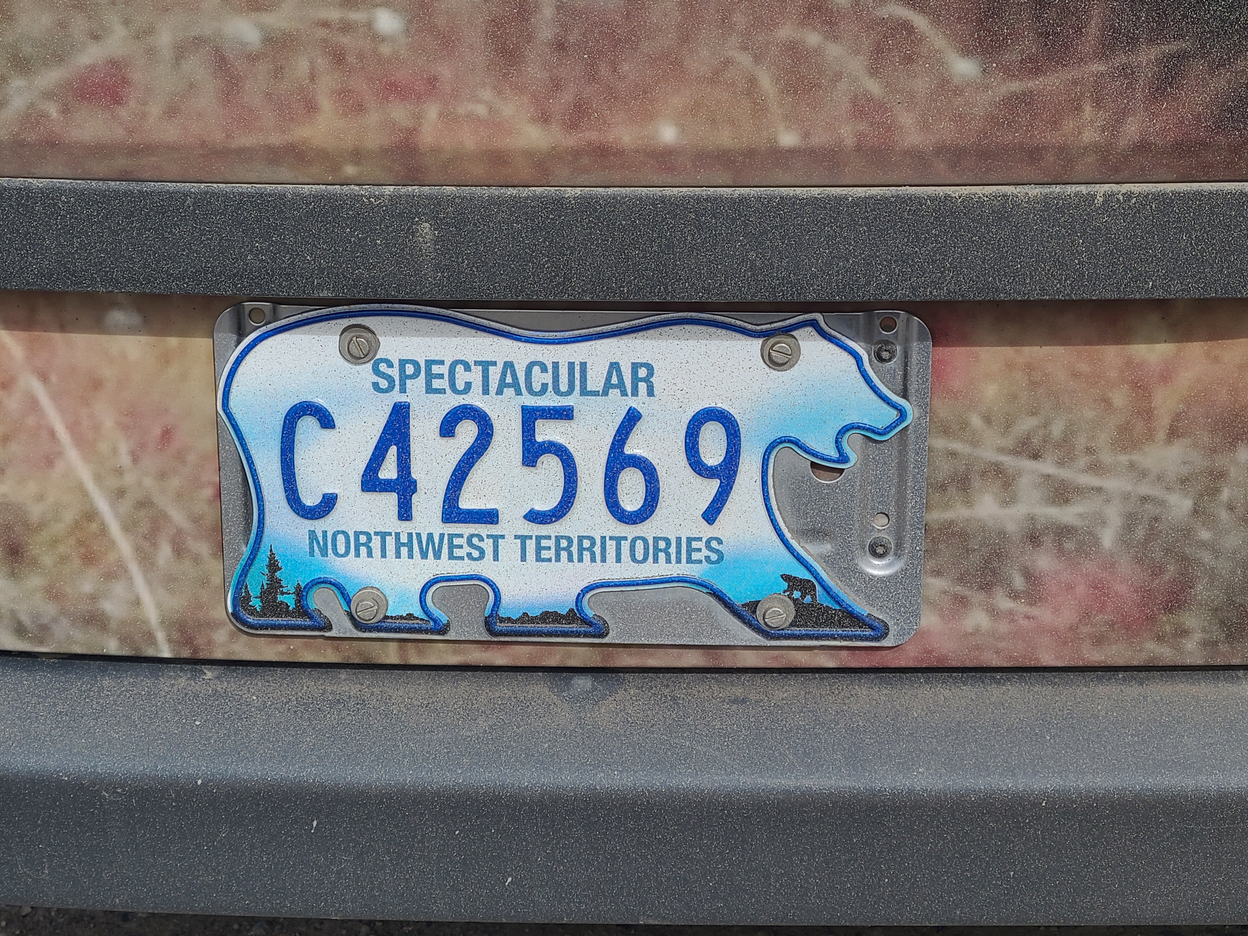
Check it out, y'all. The license plates are shaped like a bear! Awesome.
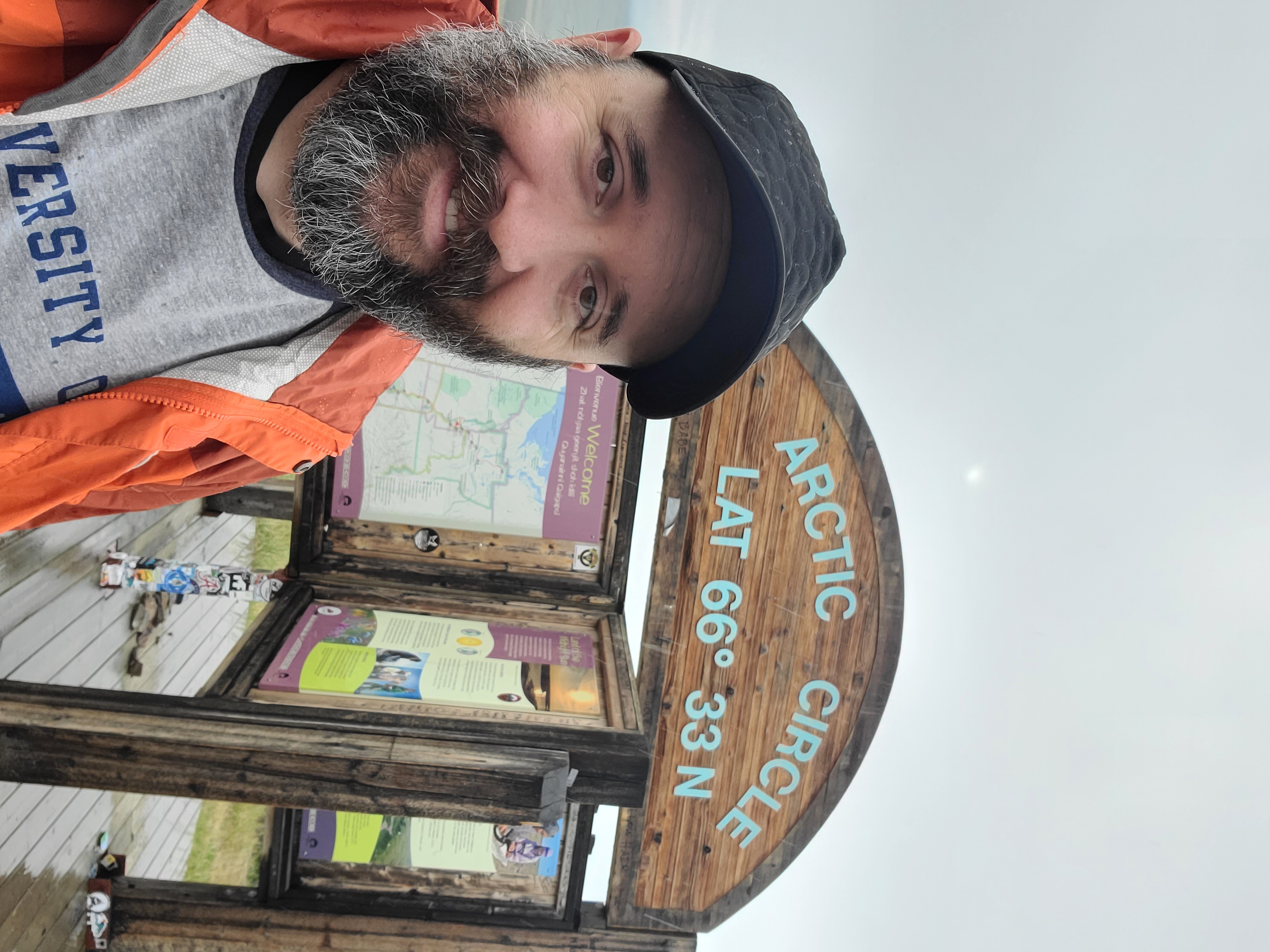
Actually a few meters north of it. Fun fact, it's moving northward about 20 meters per year because our earth is precessing.
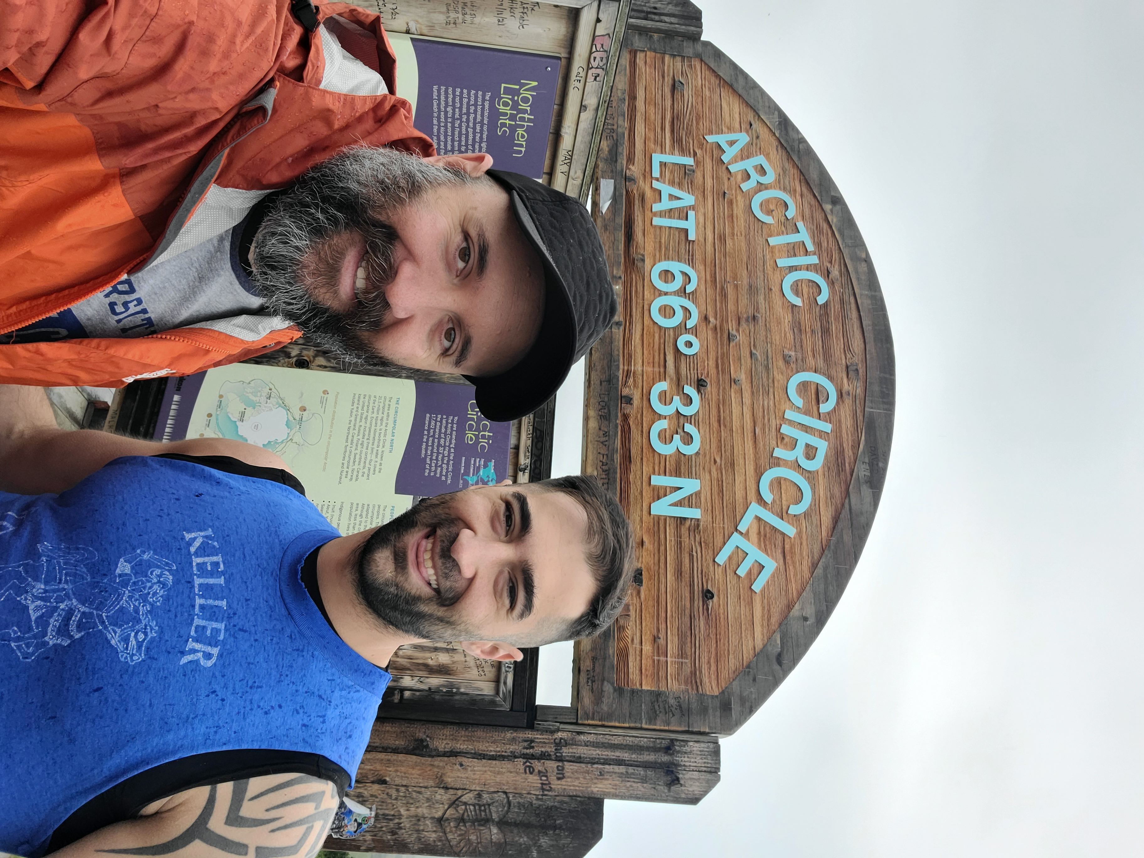
Nathaniel and Elliot take a selfie.
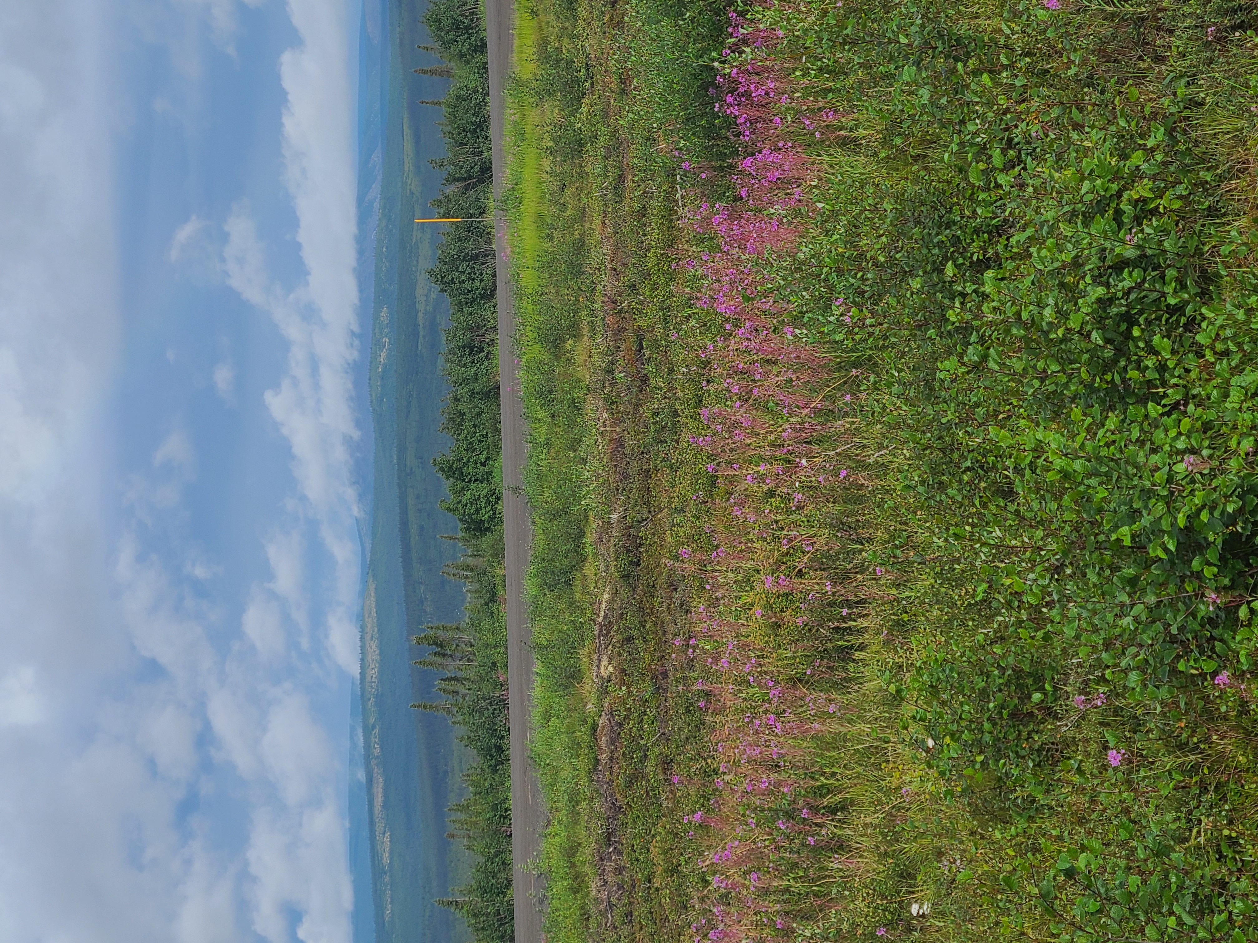
Interplay between tundra and taiga / boreal forest. This is right at the Arctic Circle, still within the northern tree line.
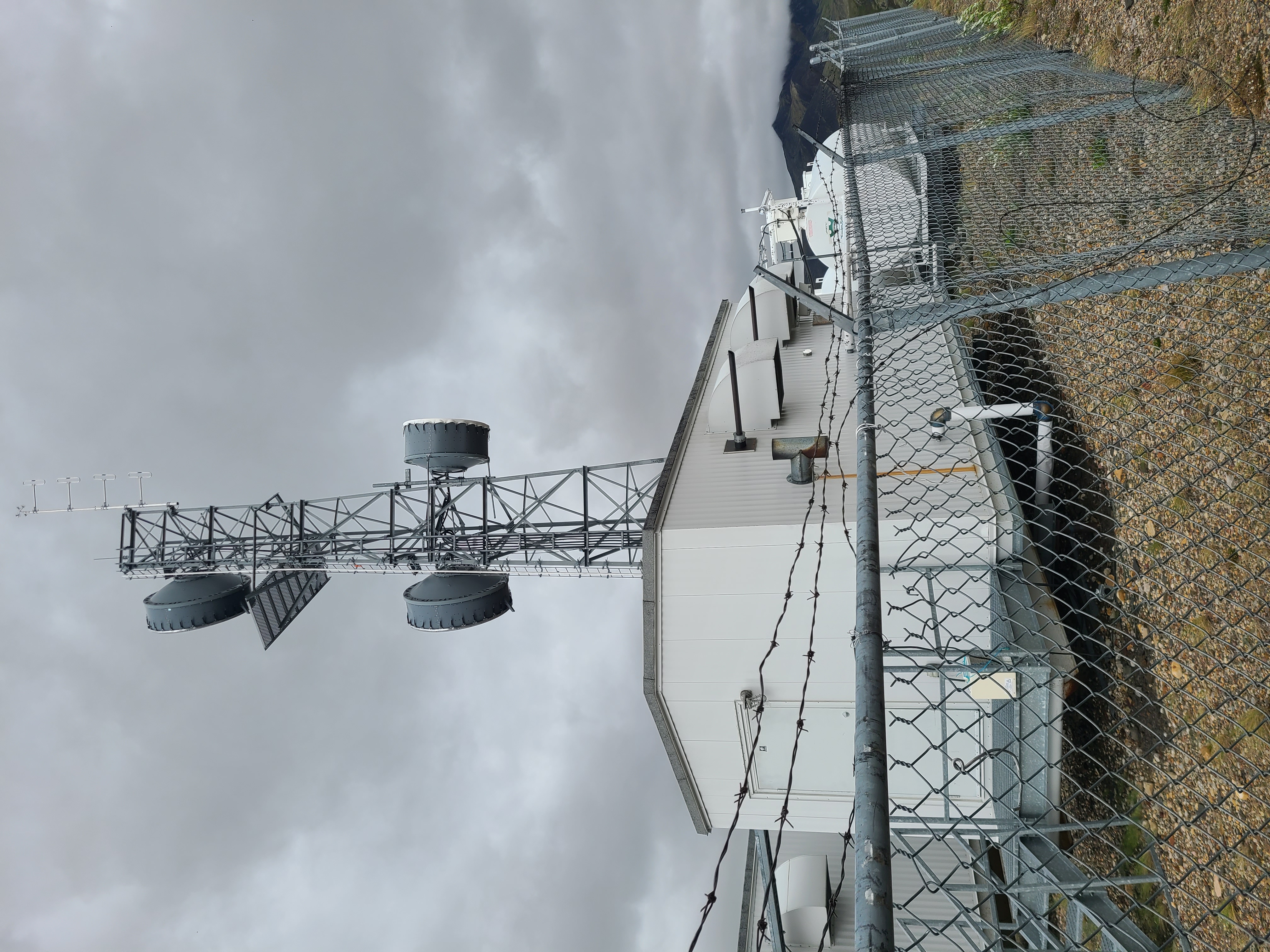
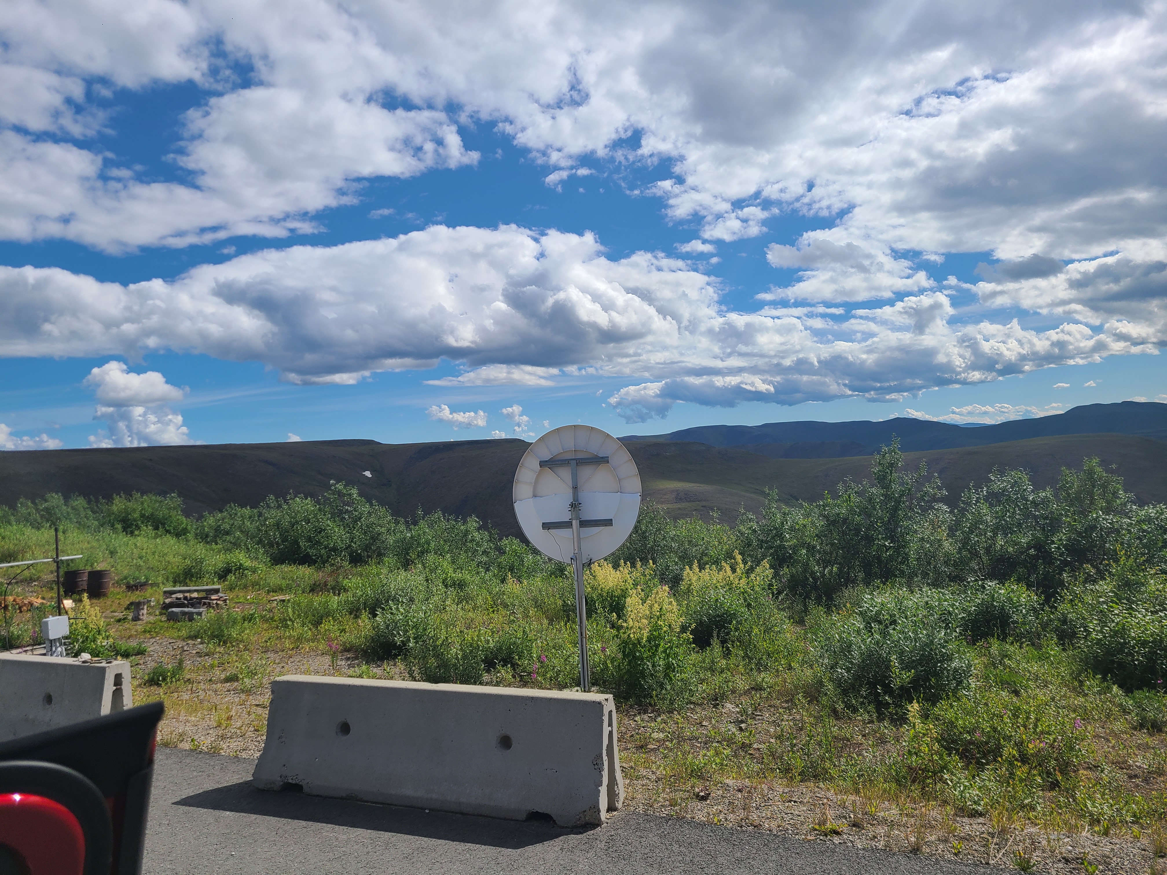
Unattended generator-powered microwave repeaters are the only way the arctic communicates. There's a string of 50 or so of these from Dawson and points down the Peel River to the Arctic communities. Inuvik is the only one with a single fiber line at the moment.
A majestic look back. Our new bff Wanda is in frame. Check out how built up the Dempster is, to keep it from sinking into the permafrost. Spoiler alert - it mostly worked.
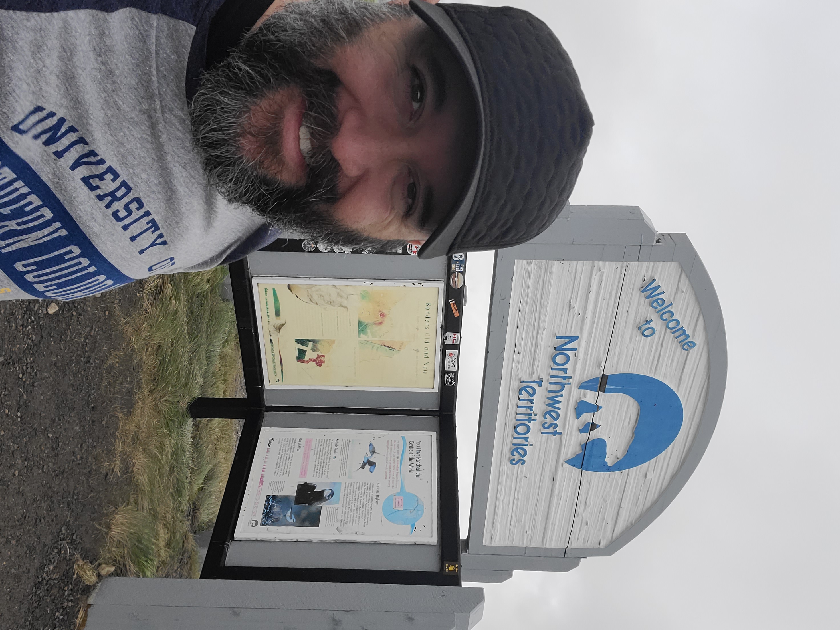
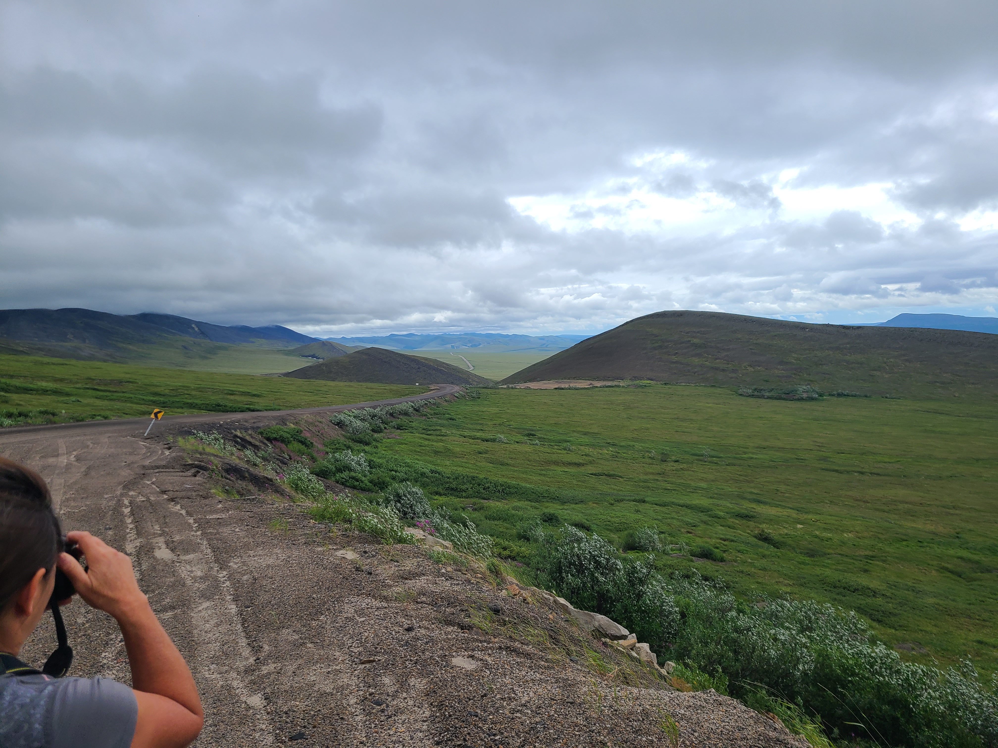
Where the Dempster crests a ridge of the Richardson Mountains, it's the border of the Yukon and Northwest Territories. It has a constant 50 mile per hour wind.
Pictures don't do it justice. That's a dozen+ kilometers right there. Wanda thought it was awesome as well.
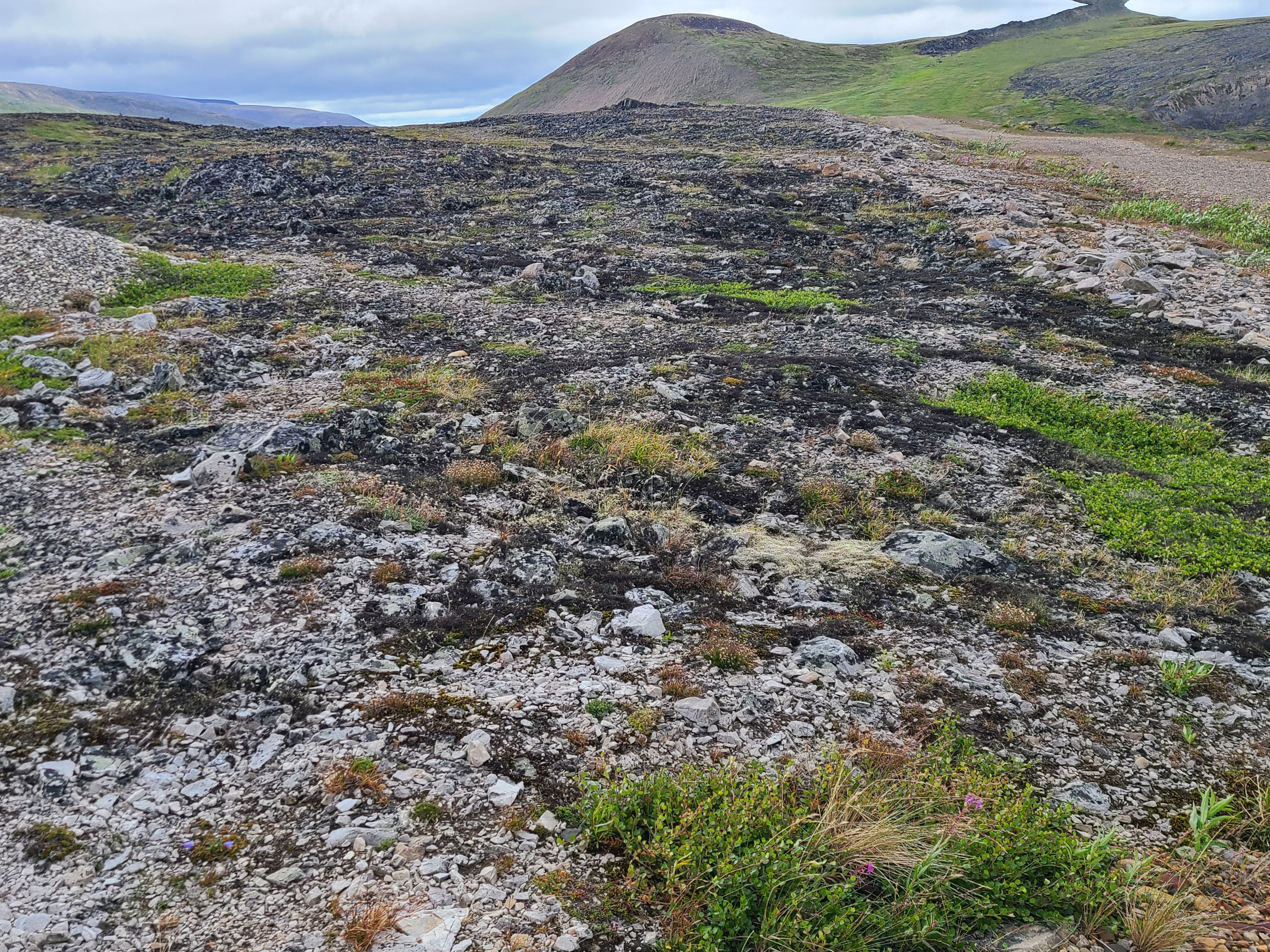
Look how bare it is. Rocky and not soft, the elevation meant we were out of the tree line.
A huge reason of the trip was for me to get up close with rocks, reindeer grass, and the tundra vegetation. Heaven.
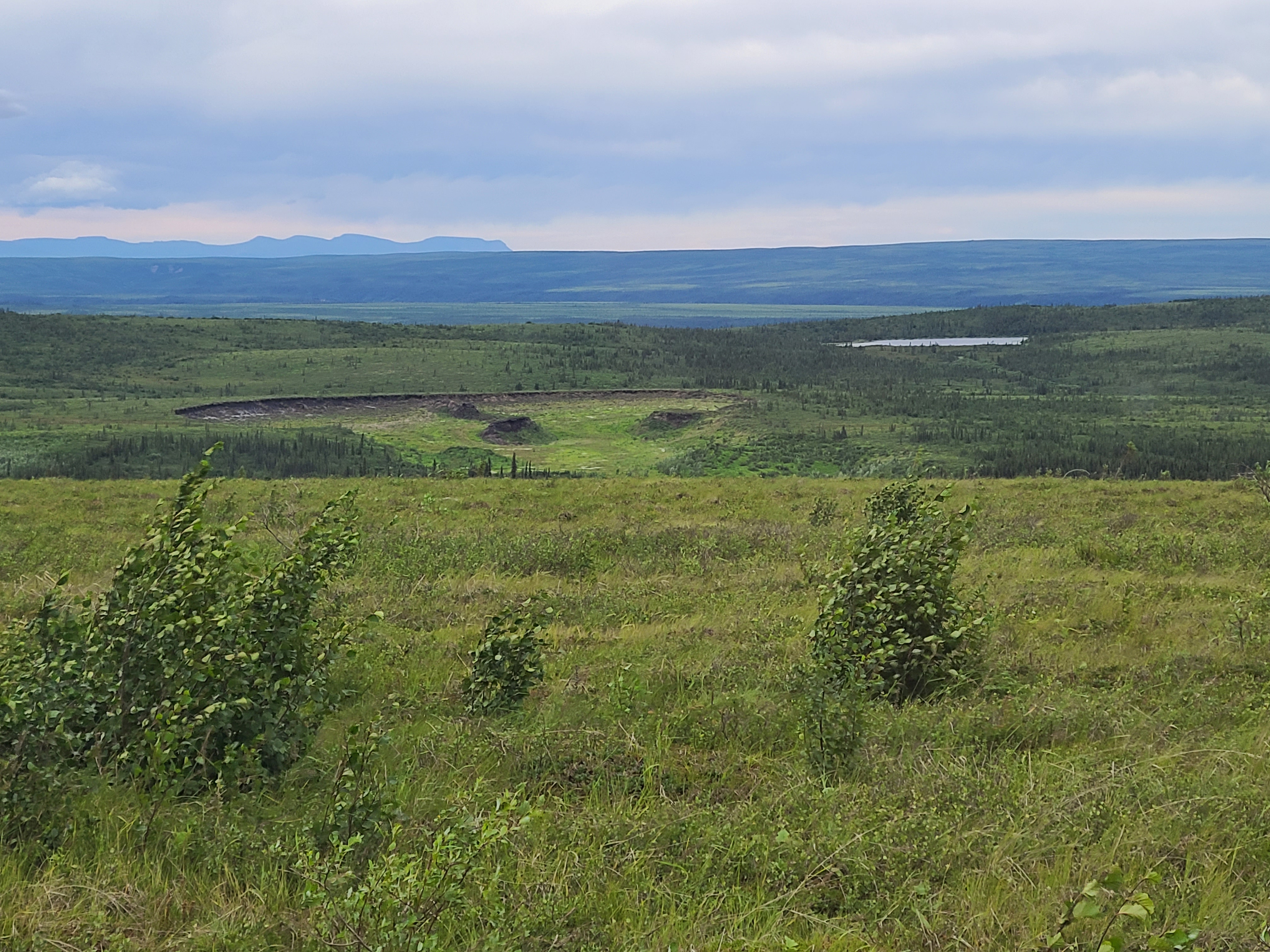
Once permafrost starts melting it's a vicious cycle that doesn't really stop without hitting rock. Once it's gone it's not coming back for centuries - if we're lucky.
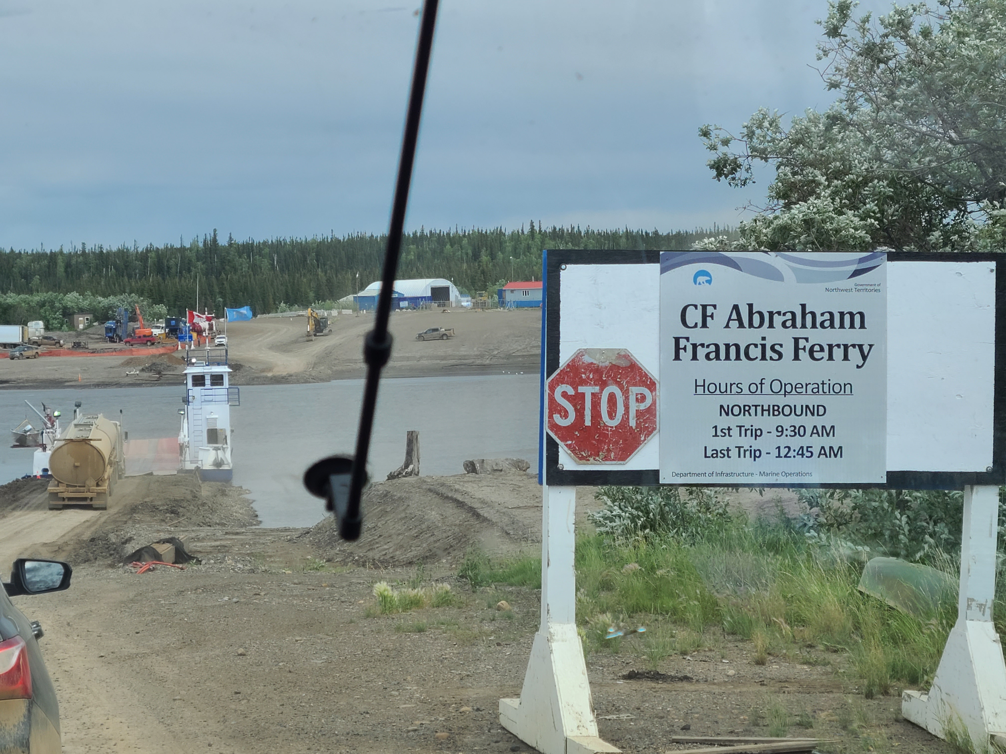
We've reached Ft McPherson and they don't build bridges up here.
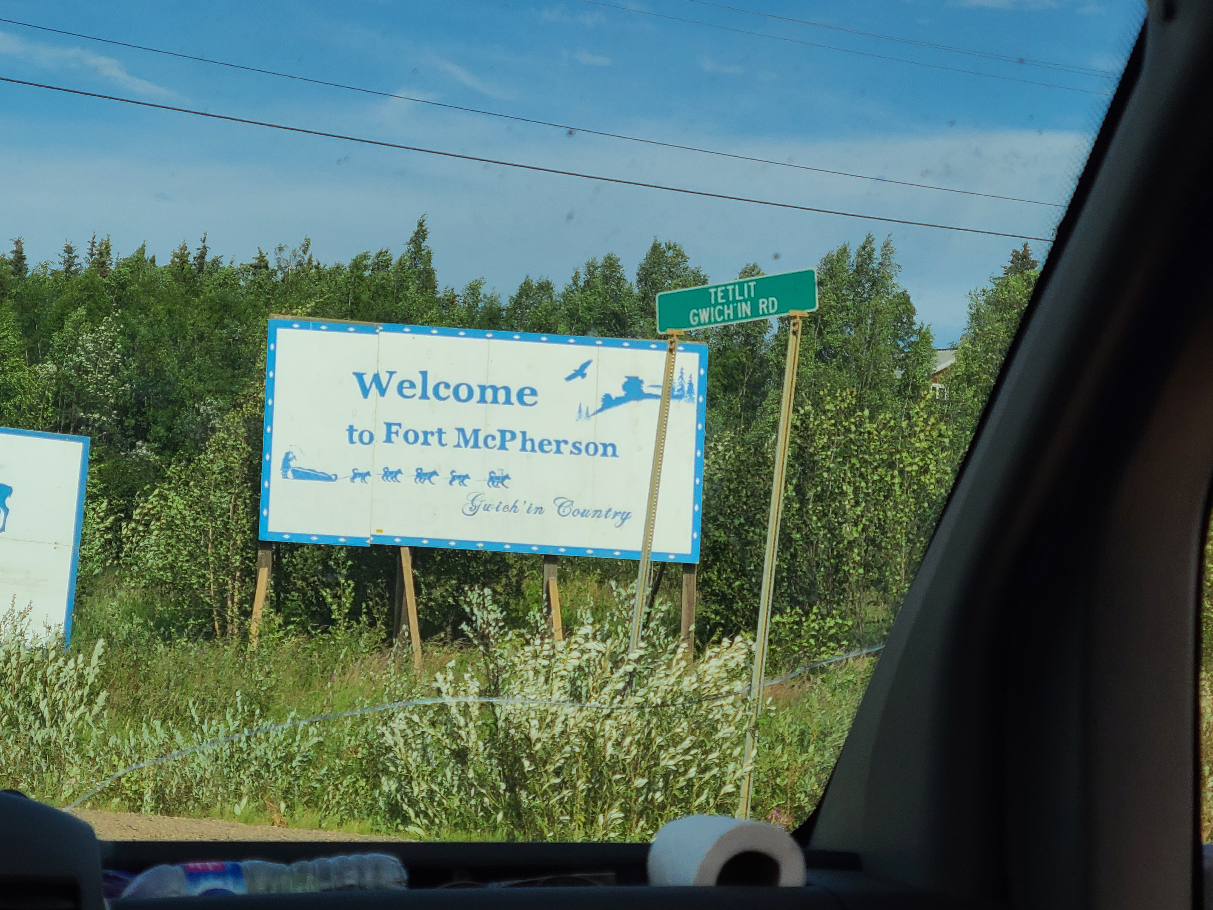
Also called Teetl'it Zheh, Ft McPherson is a place that exists. Has about 650 folks.
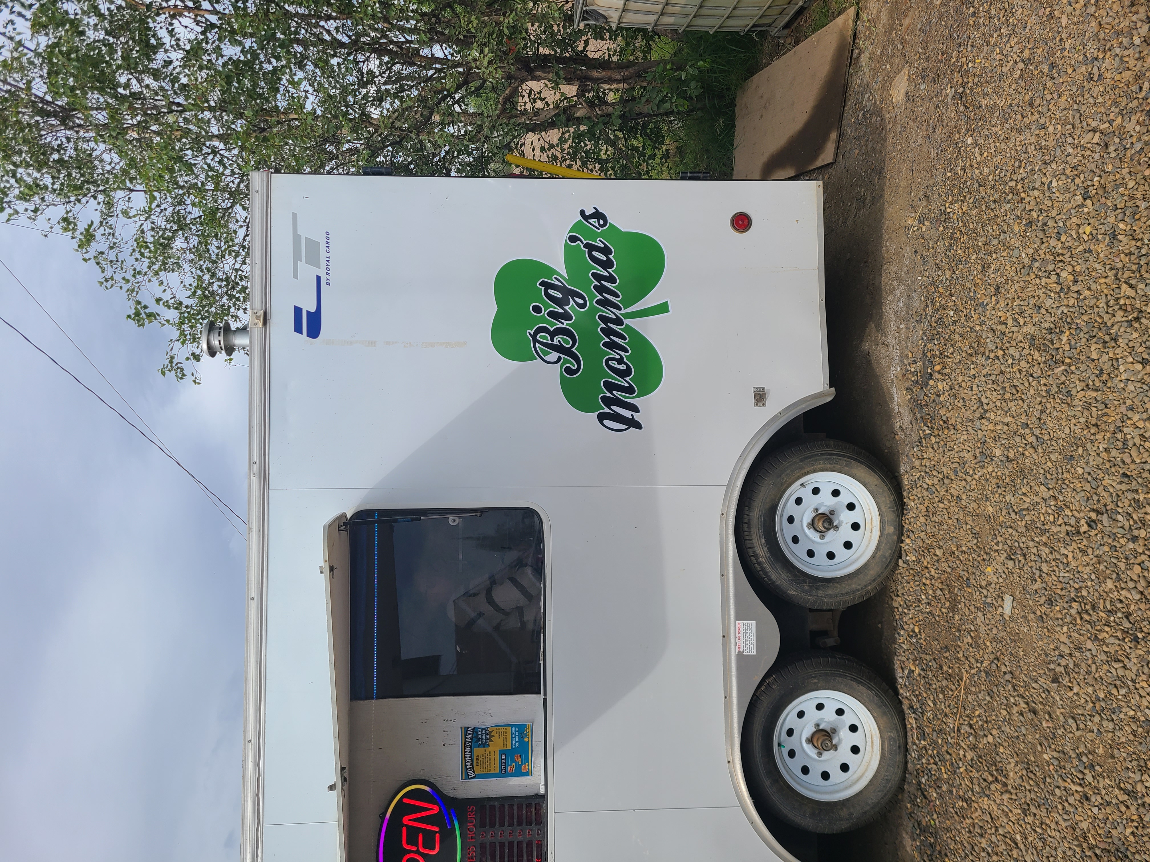
Seriously the only food place we could find in Ft McPherson. Our guide knew the family, who opened up the truck for us before running errands. We hung out with the kids and dog. It was delicious.
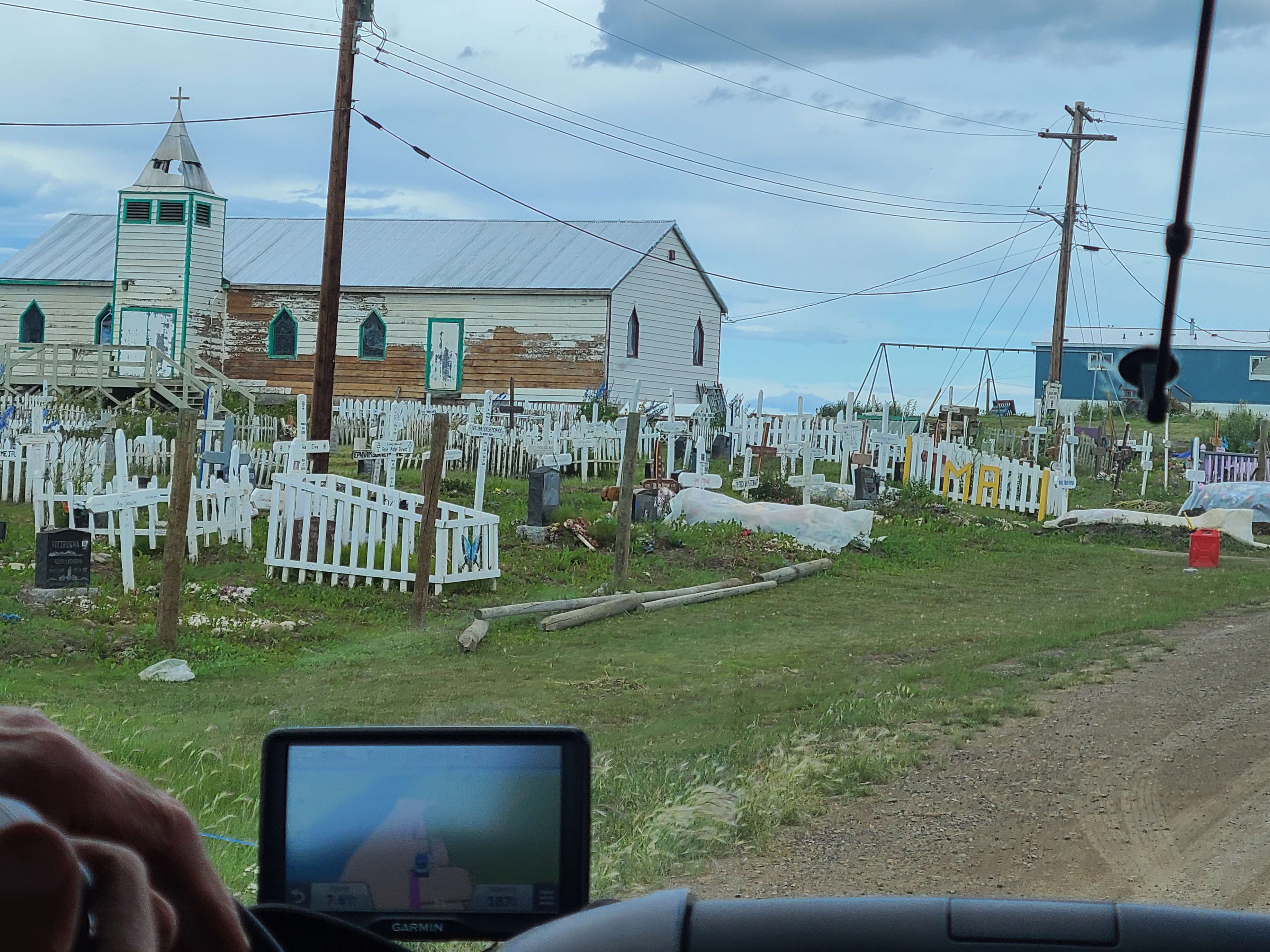
Check out how they are mounds and have fences. Hard to bury folks in the winter time.
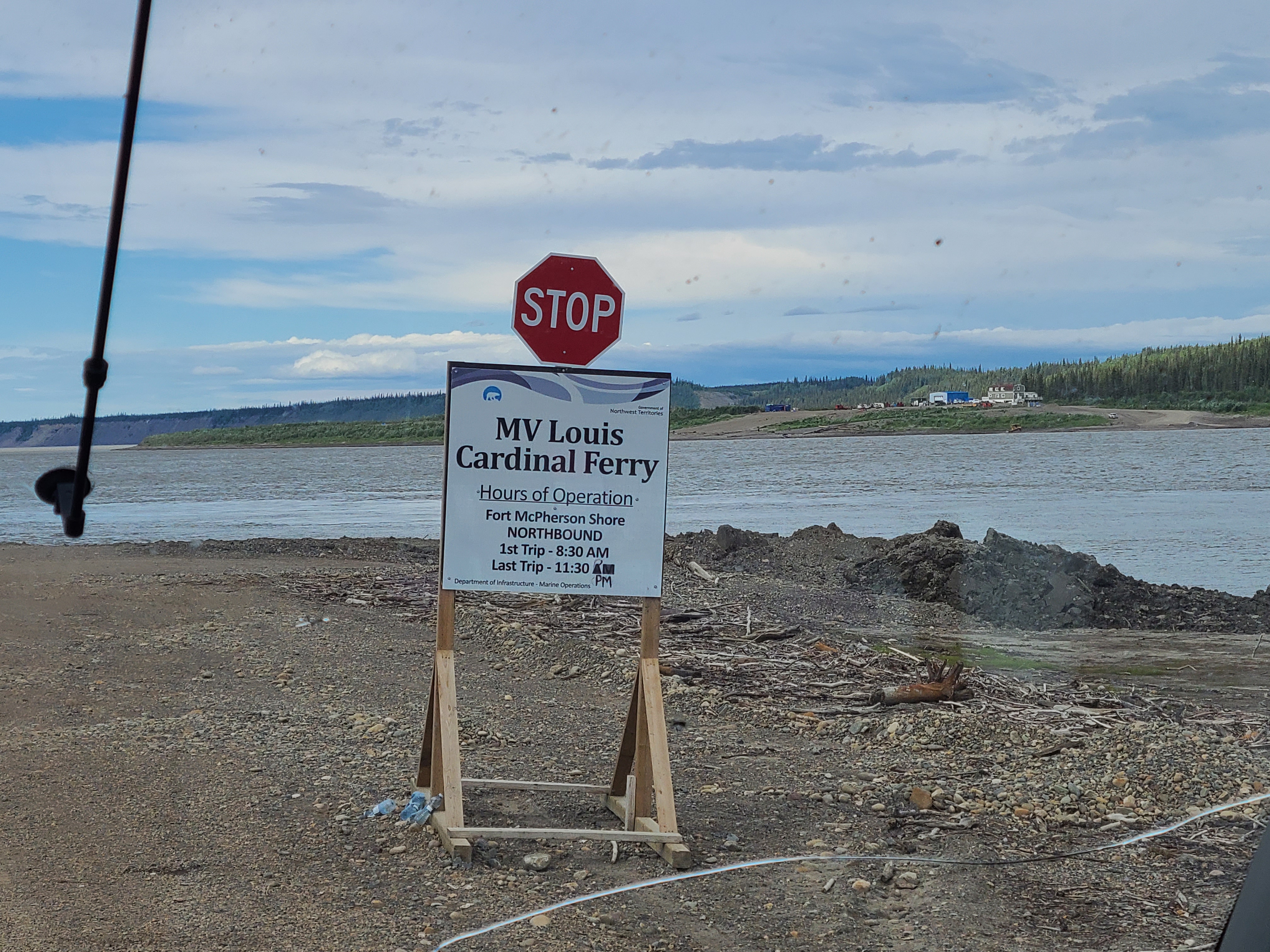
Like at the Peel river, they don't build bridges. But they really can't at the Mac, because it's the ninth biggest river in the world. Betcha didn't know that!
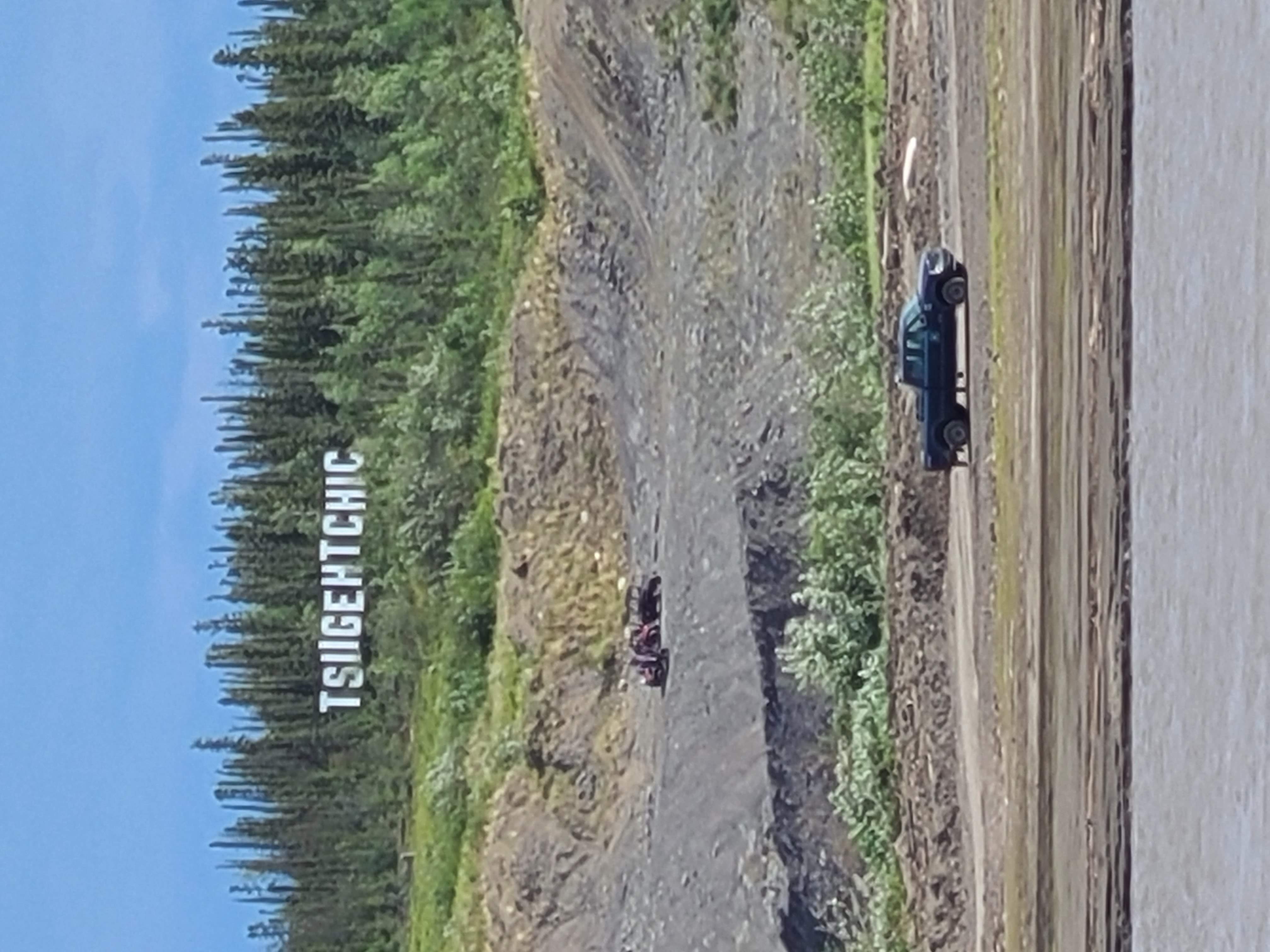
It's pronounced "si-getch-ick". For some reason, 140ish folks live here. Thank goodness, because we needed folks to operate the Ferry, but honestly we're close enough to Inuvik and Ft McPherson, I guess.
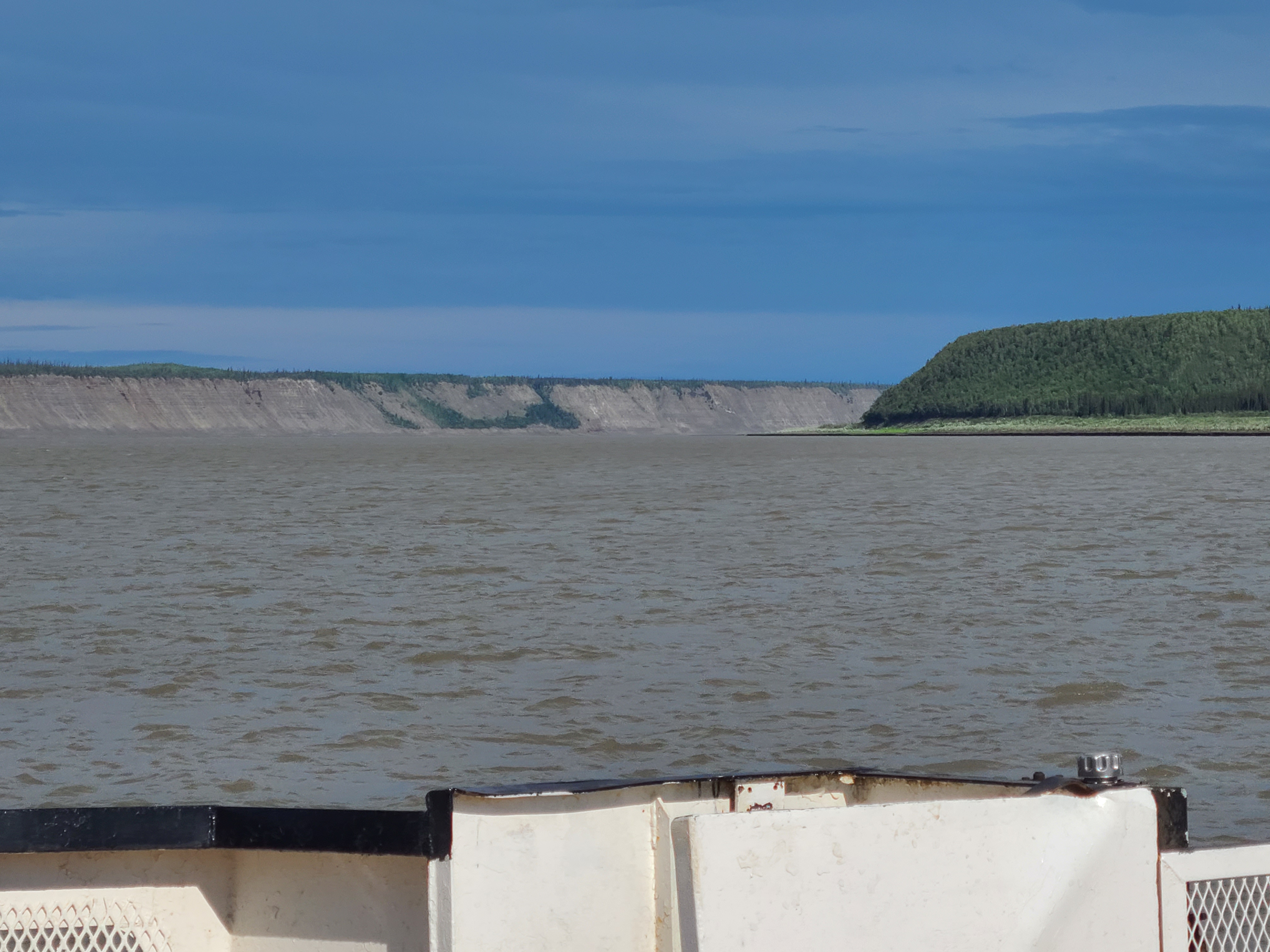
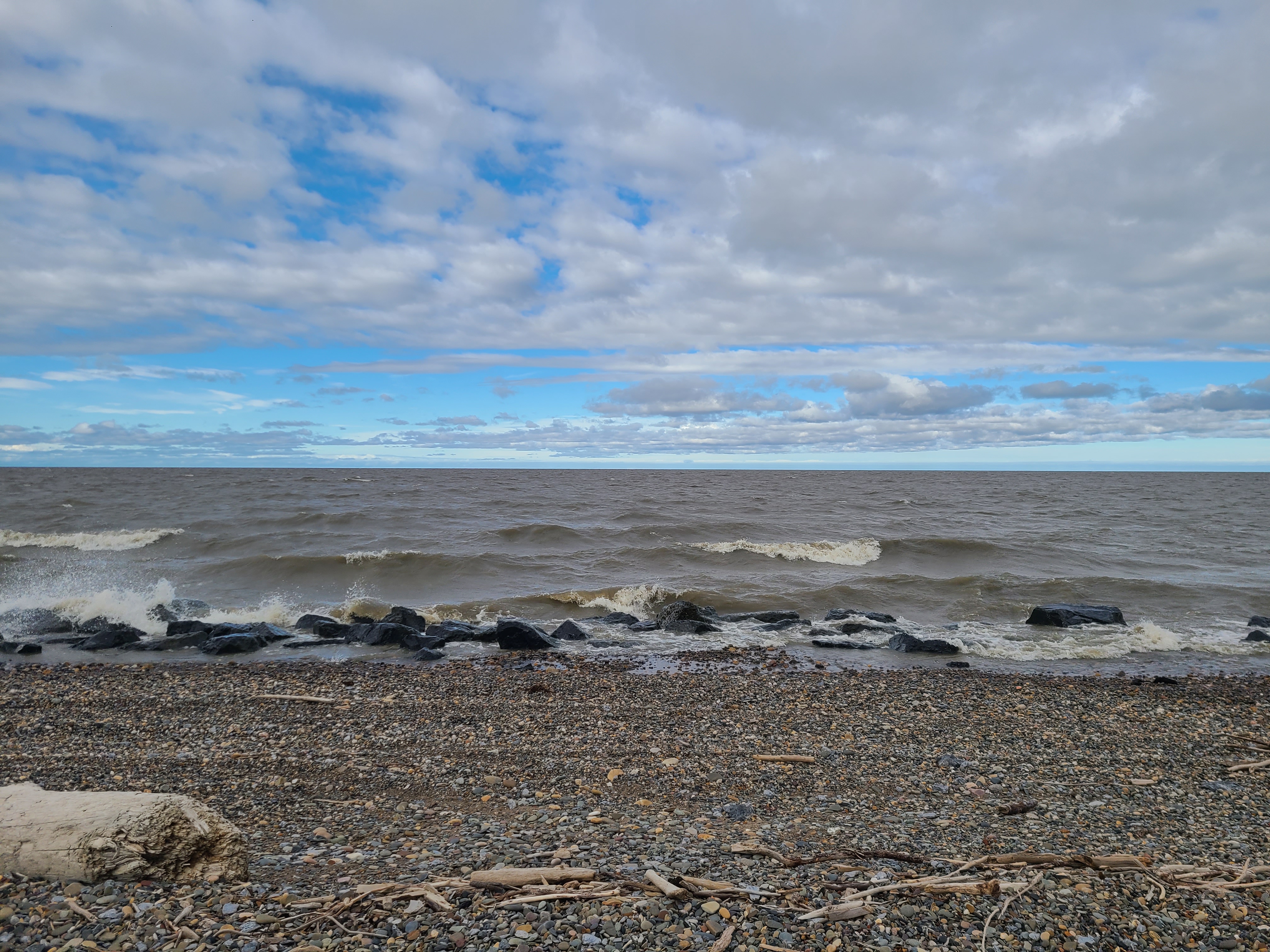
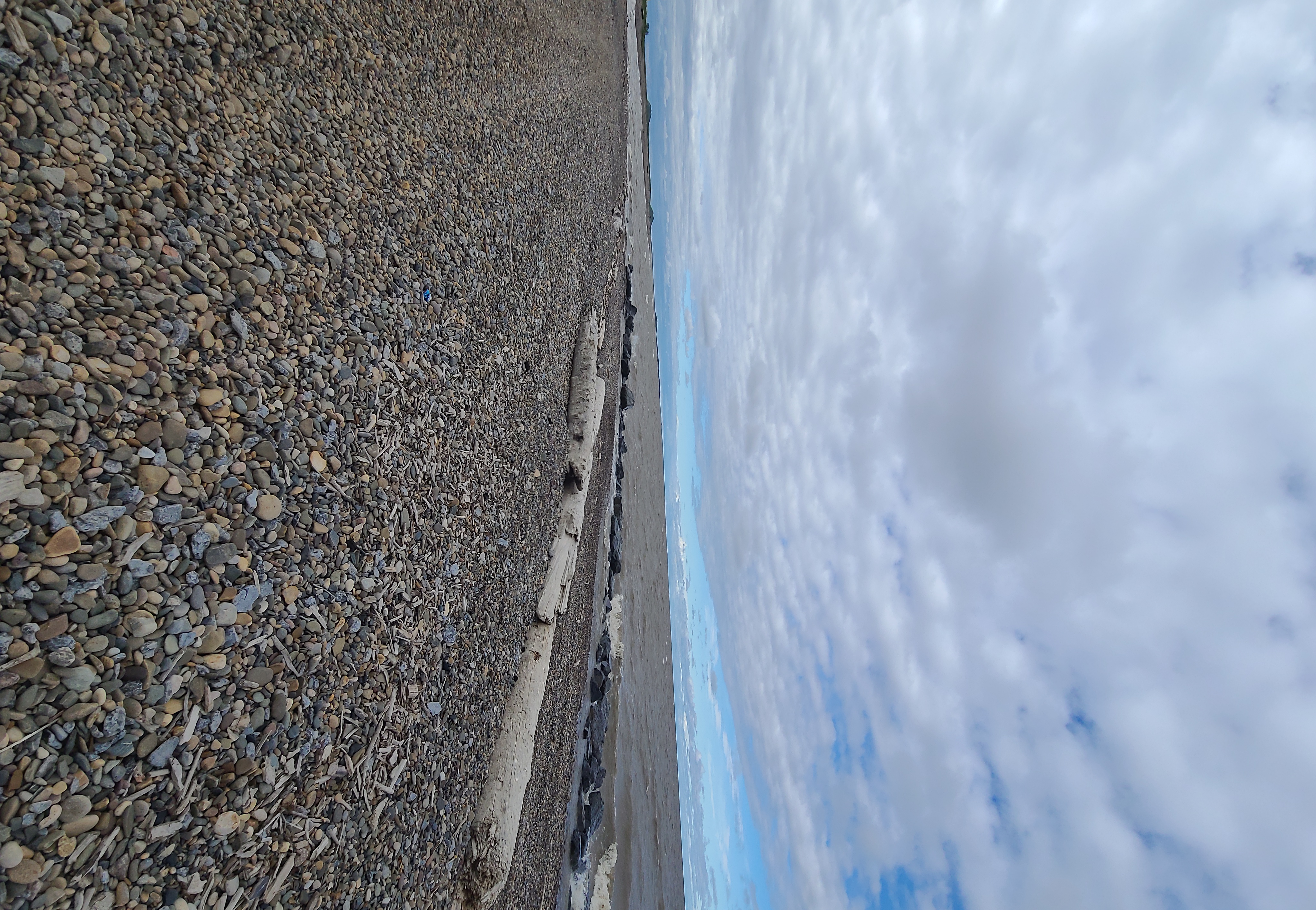
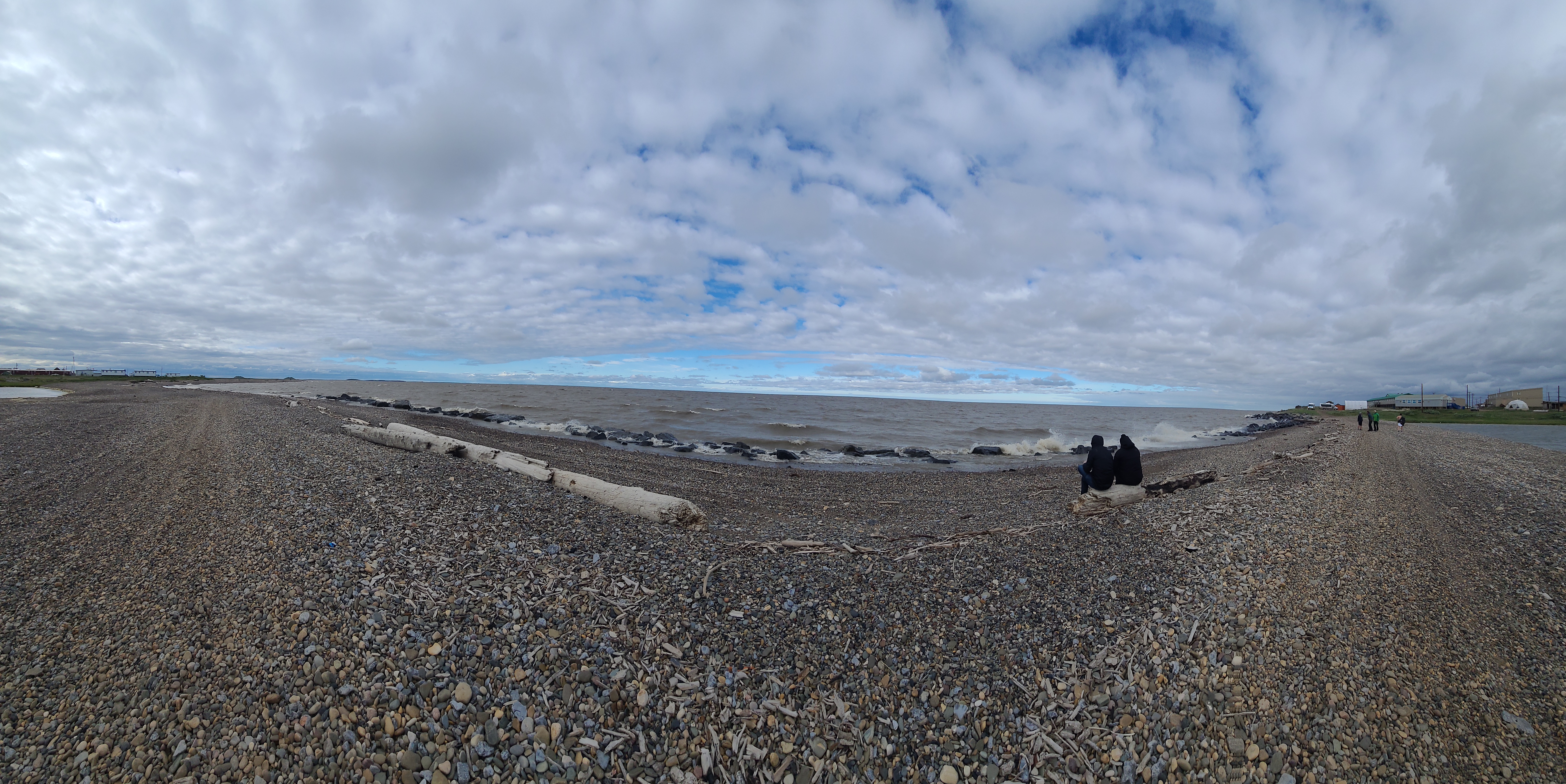
This river is HUGE. Those cliffs and hills were awesome to see up close.
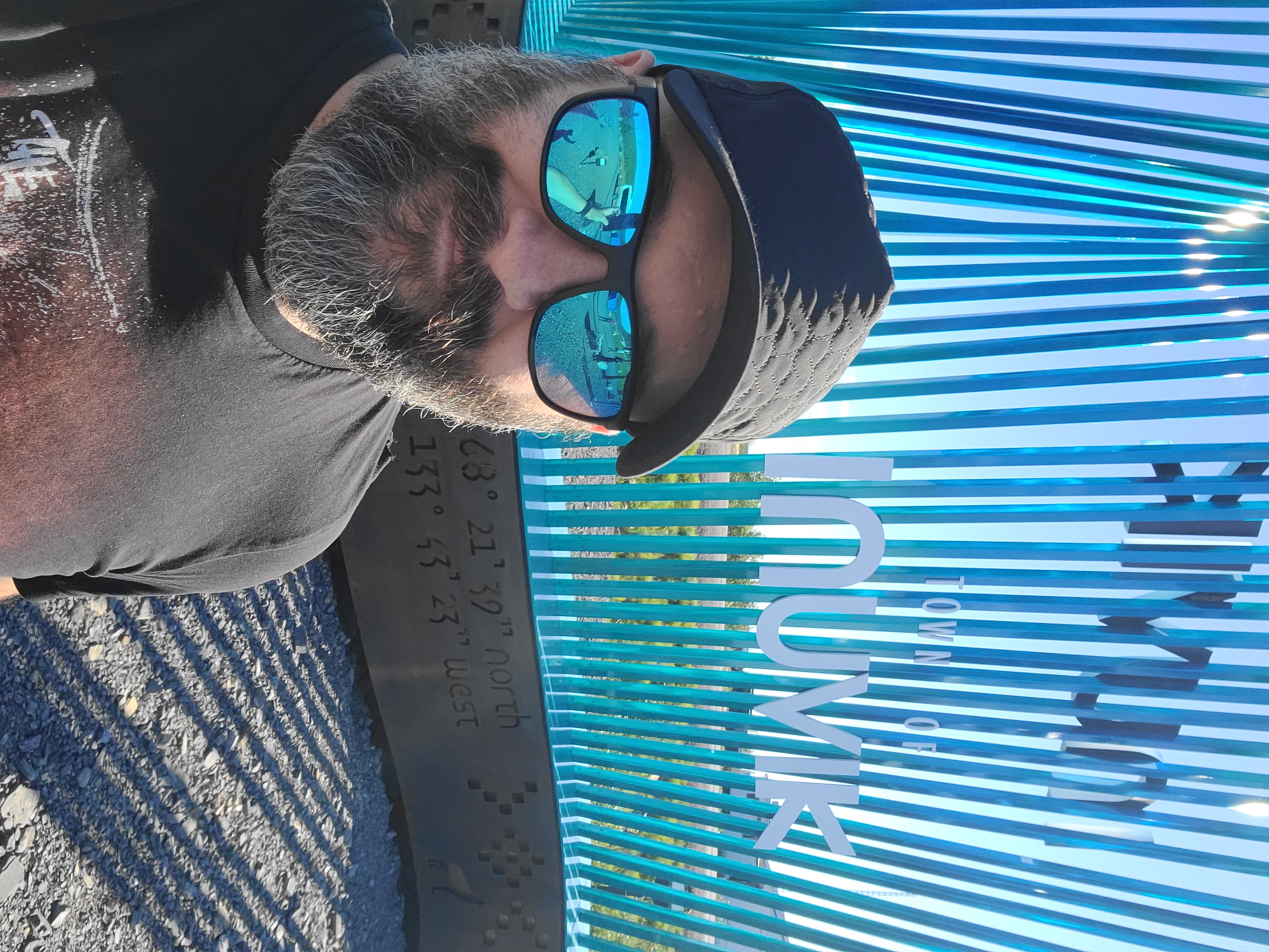
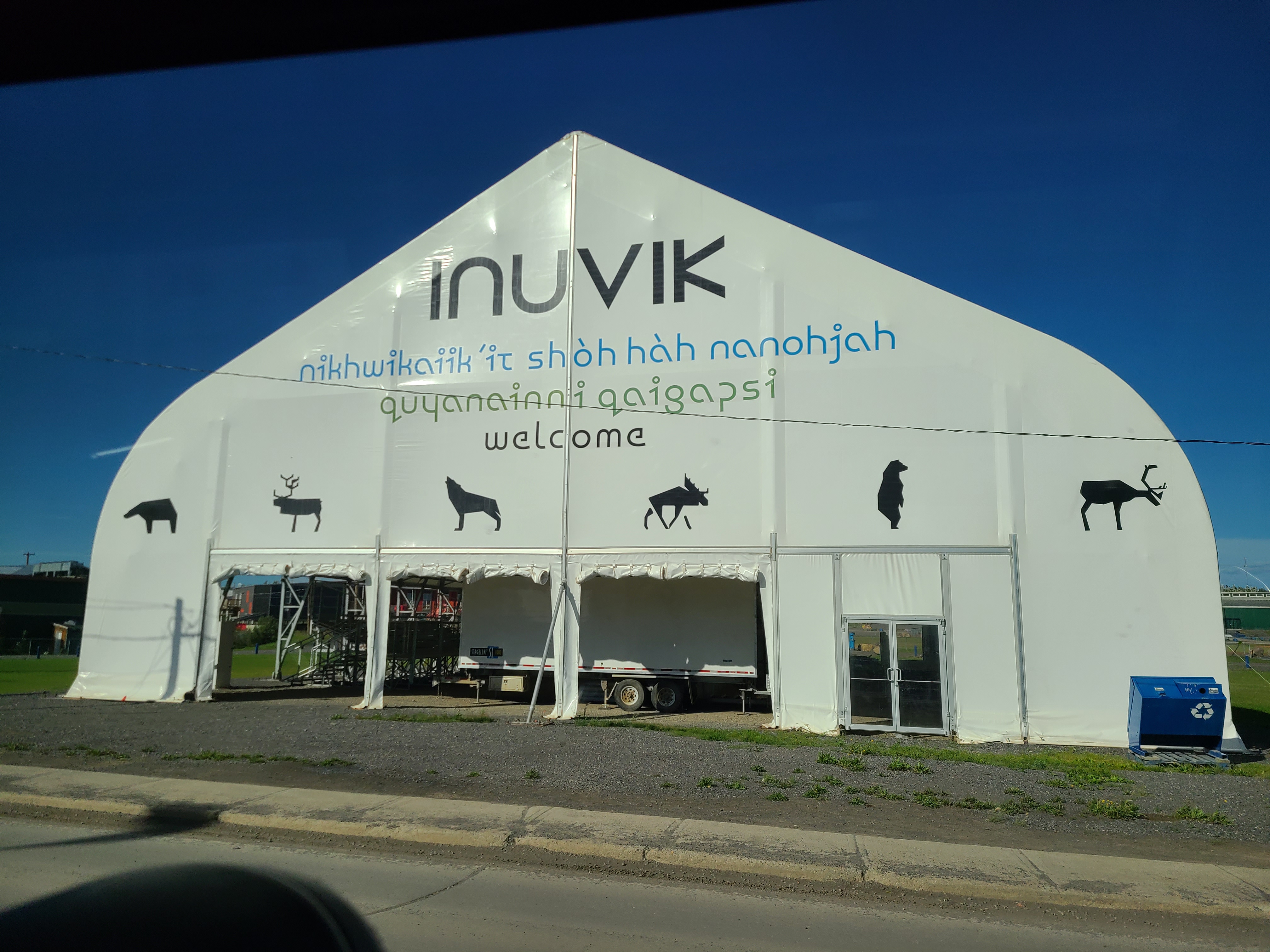
At the end of day 3 we reached our base in Inuvik, home to over 3000 hearty Arctic denizens. This place was pretty great, but I can see how it might get old fast. Way above 66 degrees north! (aka the Arctic Circle)
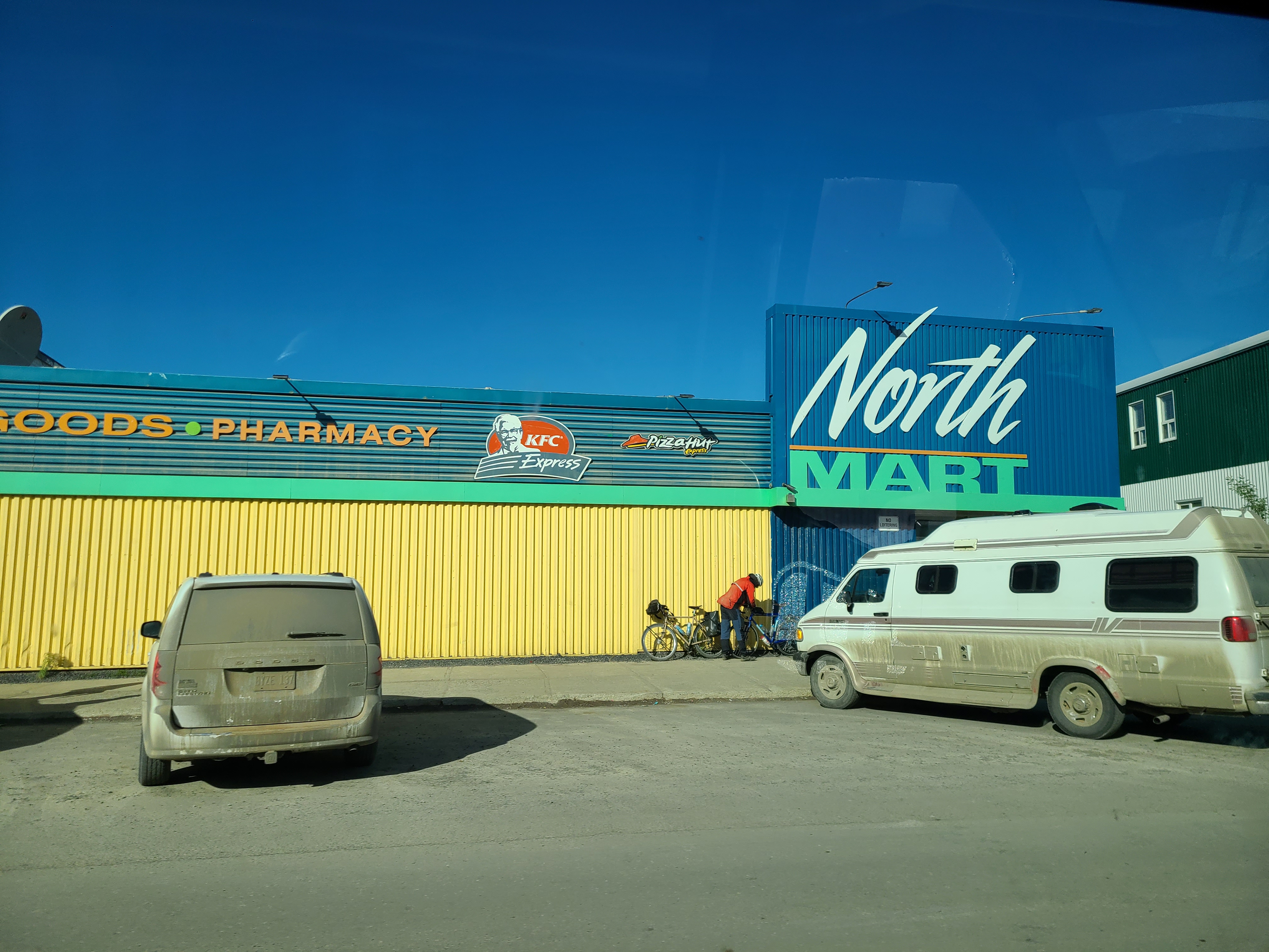
It's the Super Target of the Canadian Arctic. This is the place to buy stuff if you aren't buying it online. They have pizza, chicken, clothes, boats, 4-wheelers, jewelry...just...everything.
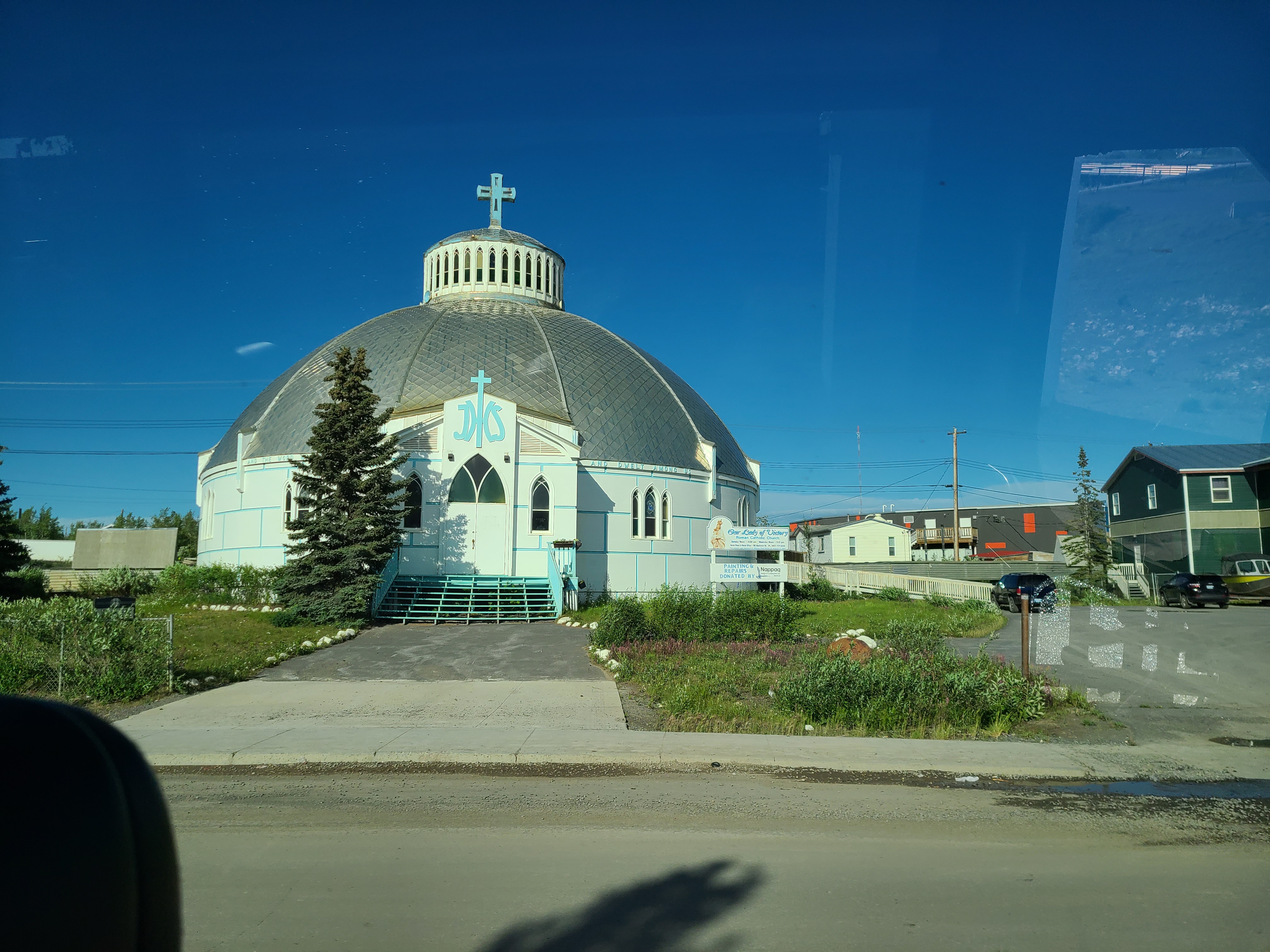
Inuvik's most memorable landmark is a church shaped like an igloo. It's all over Google results for Inuvik. I don't get it.
This tent had a number of bleachers in it which are used for music and other entertainment.
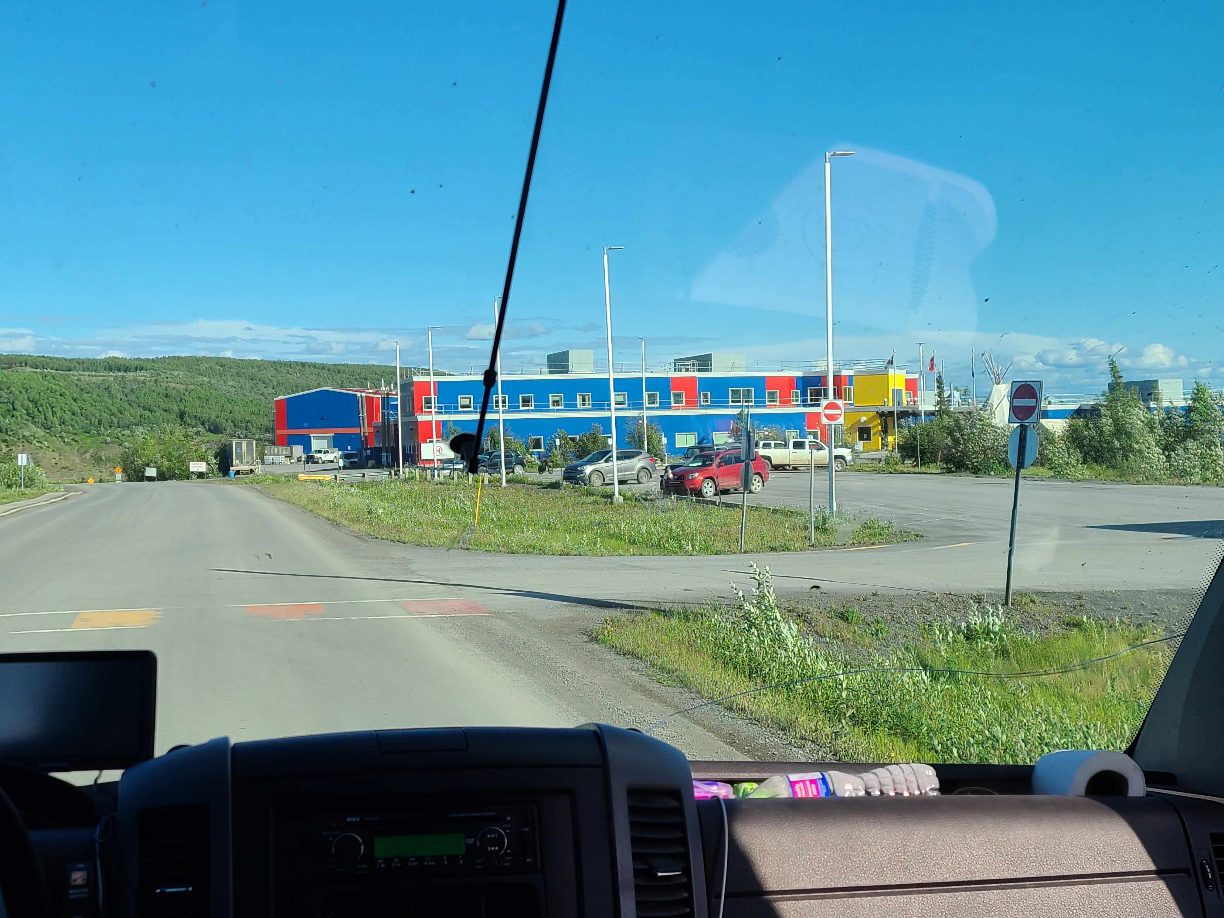
That place was new, beautiful, and state-of-the-art. Doctors and surgeons from around the world come to Inuvik to practice, and they are set up for everything one might need. Fun fact, it will eventually collapse into the permafrost because they didn't build it properly..
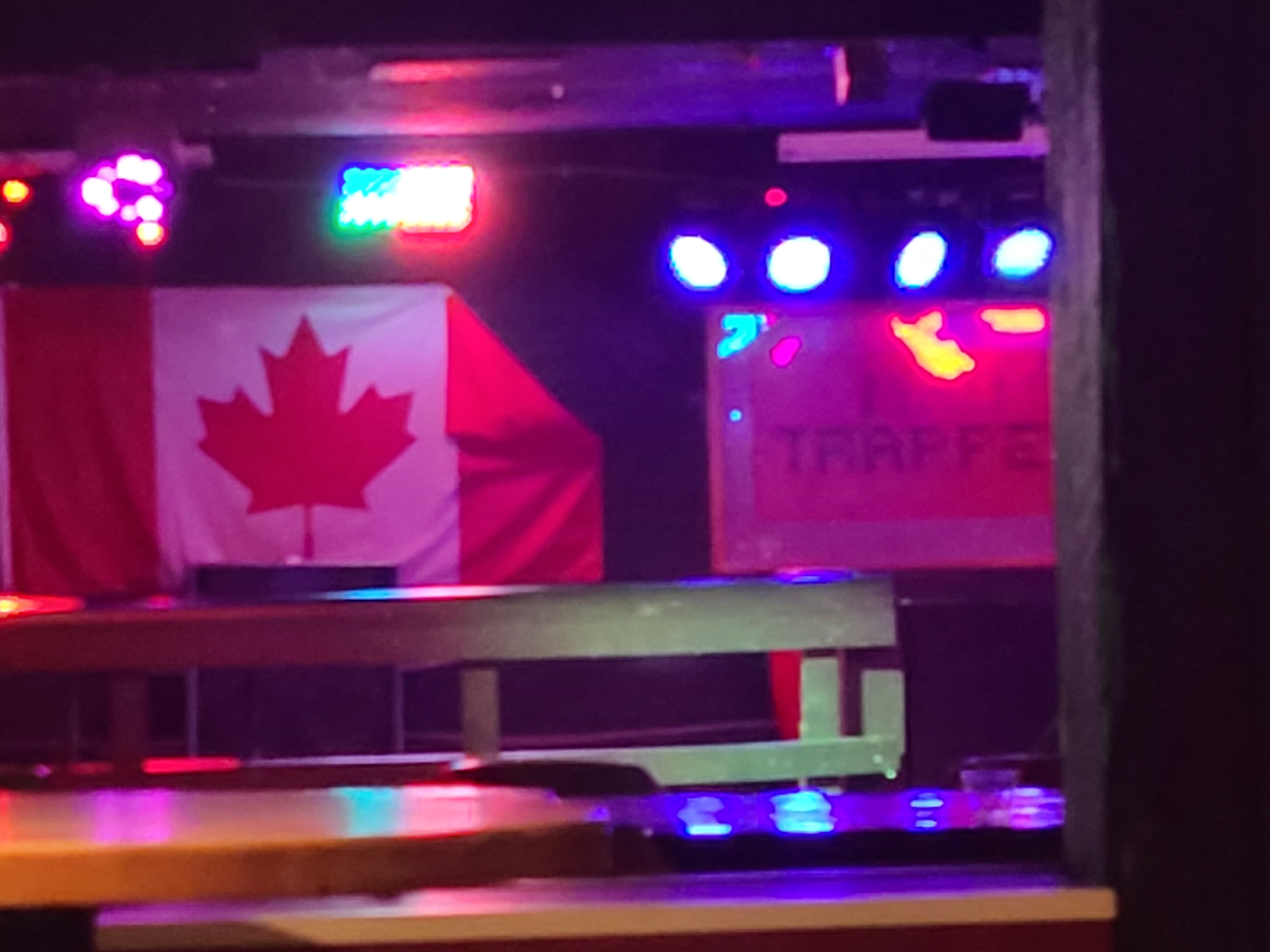
The Mad Trapper is the main bar in Inuvik, open until 2 am. It's constantly fighting to remain open, because the local council has to deal with a large number of drunk and bored locals. We were here each night.
Had to take at least one photo of the sun at midnight. Look at that sky and those clouds!
Home away from home during our stay in the Arctic. We only camped in the Yukon! Fun fact, they truck in water once or twice a day - it's just a thing that people do up there. Shout out to Hope for upgrading me.
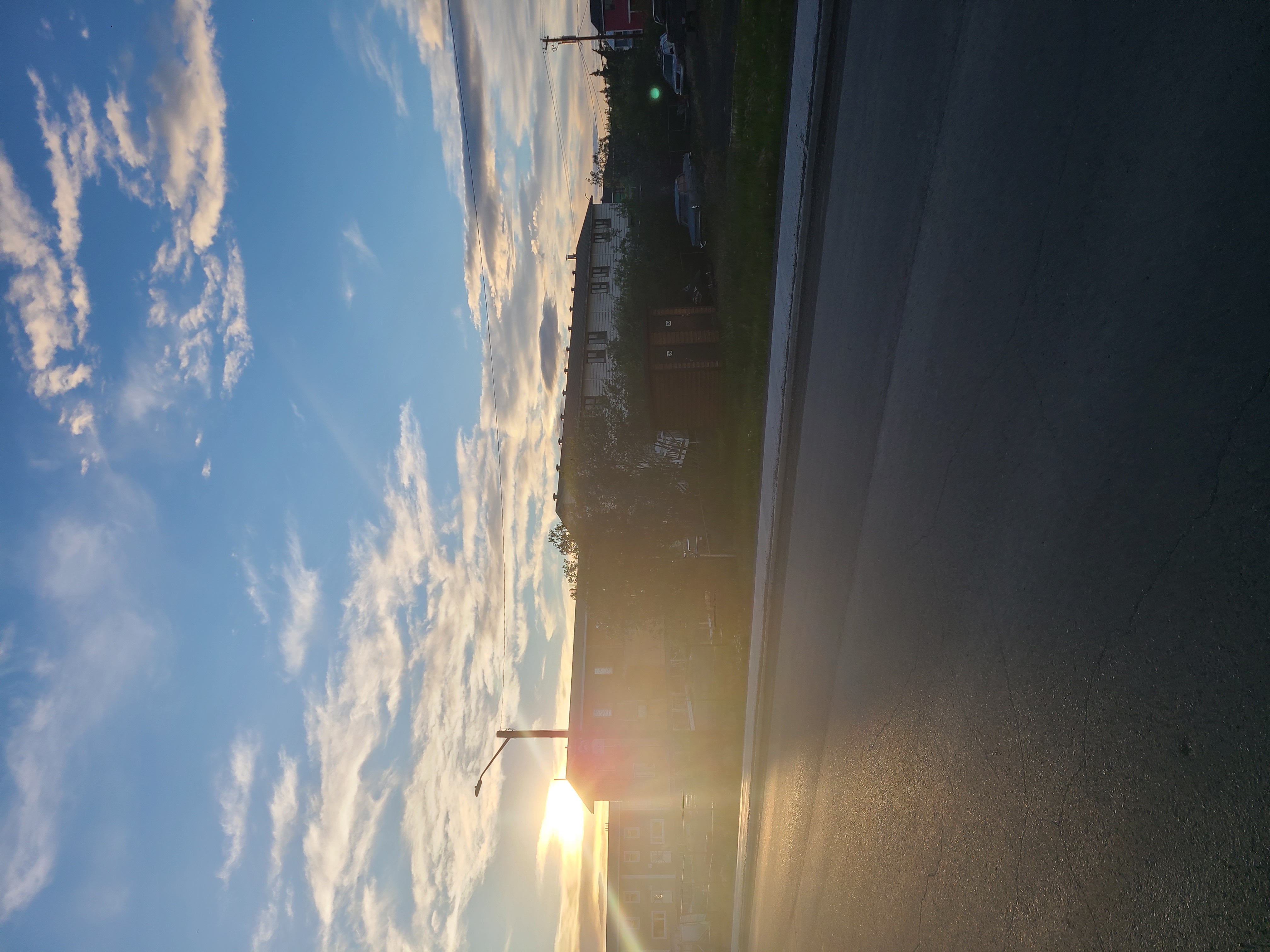
3am is the time of polar midnight (and 1500 is the time of polar noon). Look how bright it is at the "darkest" time of the evening!!
Our google maps ping from Inuvik, NWT.
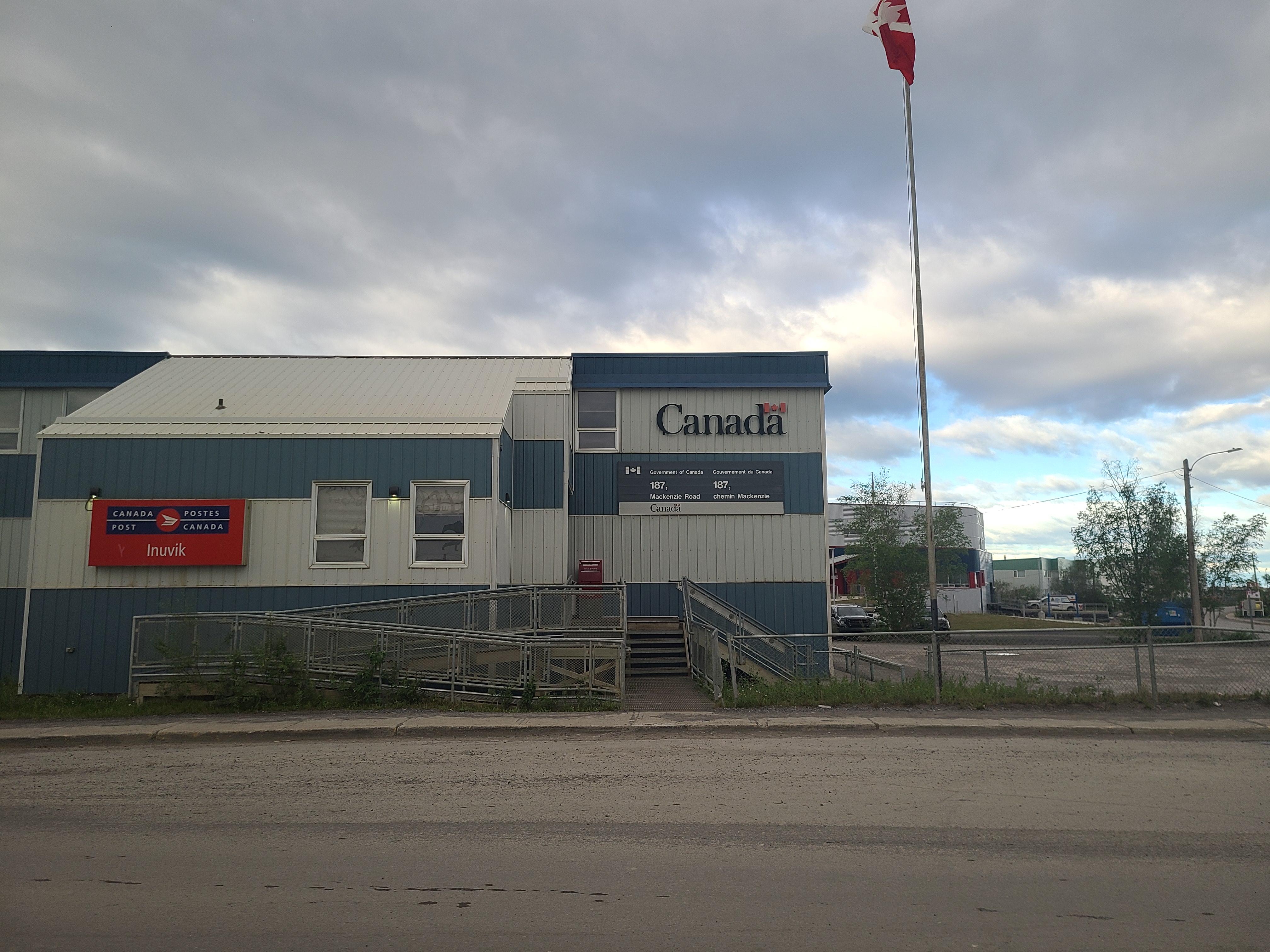
I like remote / rural post offices. Inuvik's was no joke, and responsible for...a lot of ground.
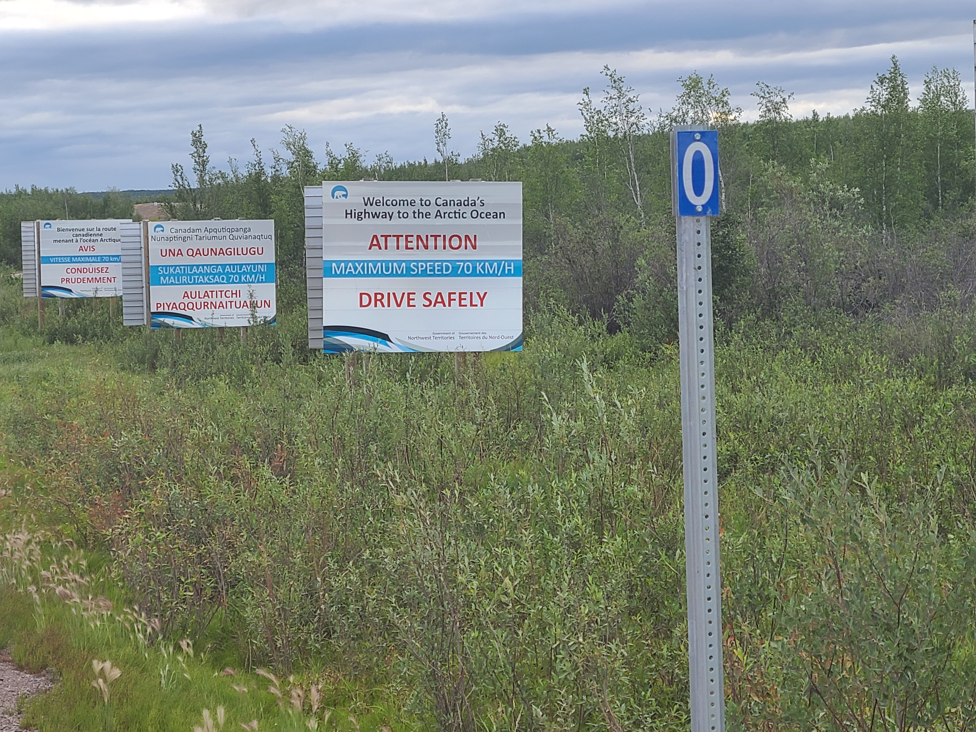
The Inuvik - Tuktoyaktuk Highway is another gravel road, but this one is the only one in Canada that goes to the Arctic Ocean.
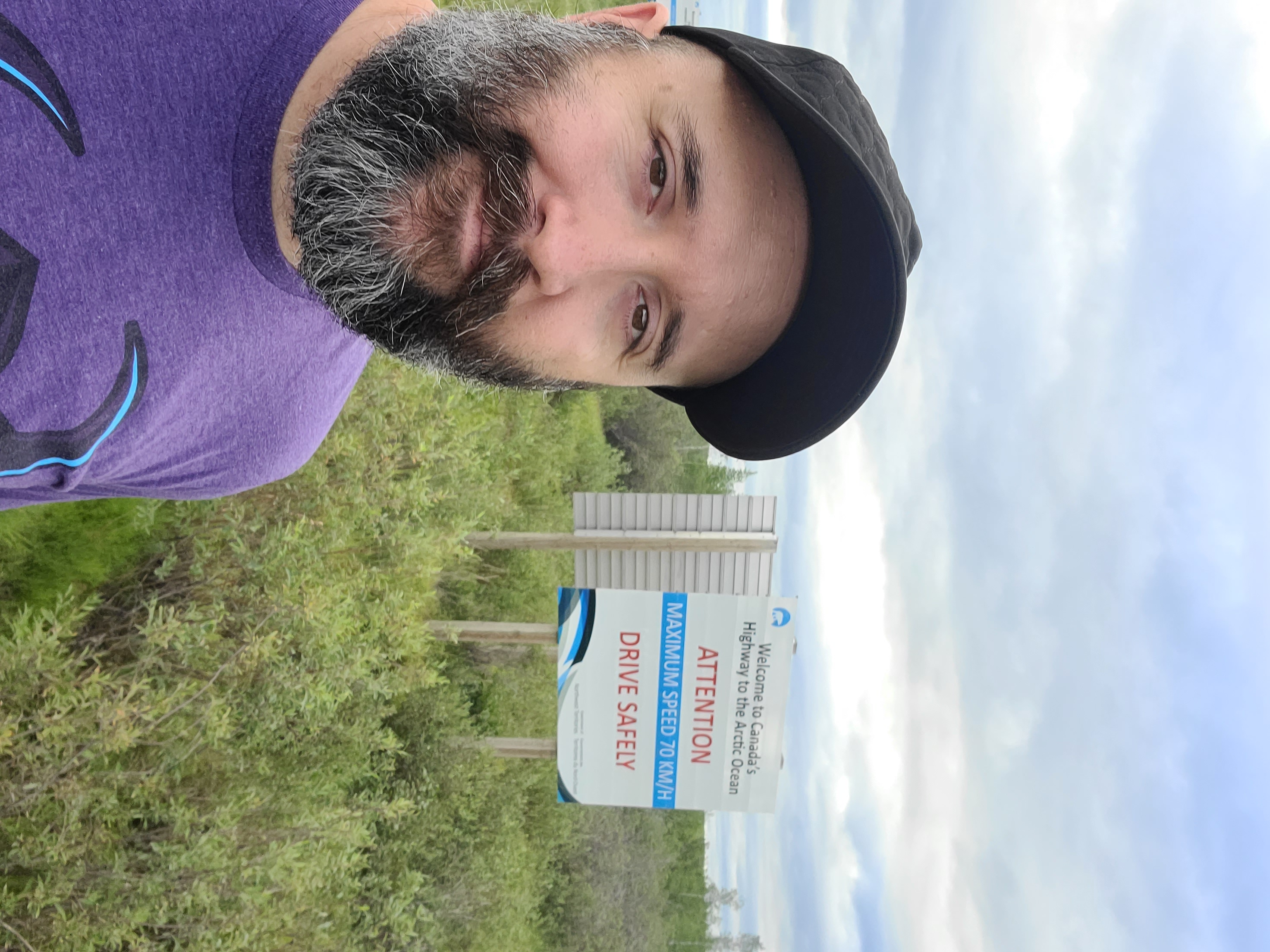
Today would be the culmination of a mighty trip north.
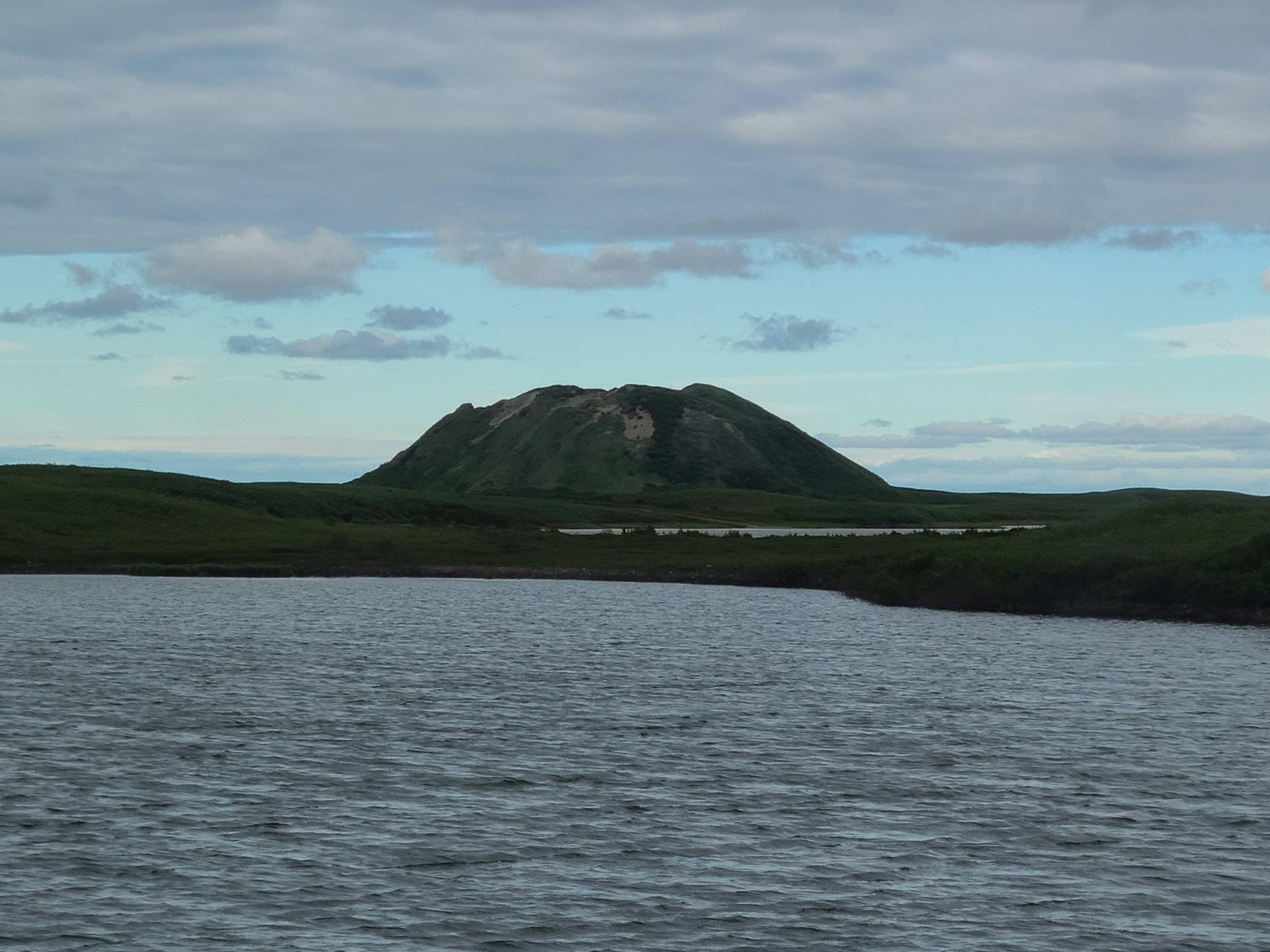
There's Ibyuk, the second largest pingo in the world. Pingos are ice covered hills created either by water pressure within impenetrable permafrost pushing them upwards or by groundwater pressure pushing them up before freezing.
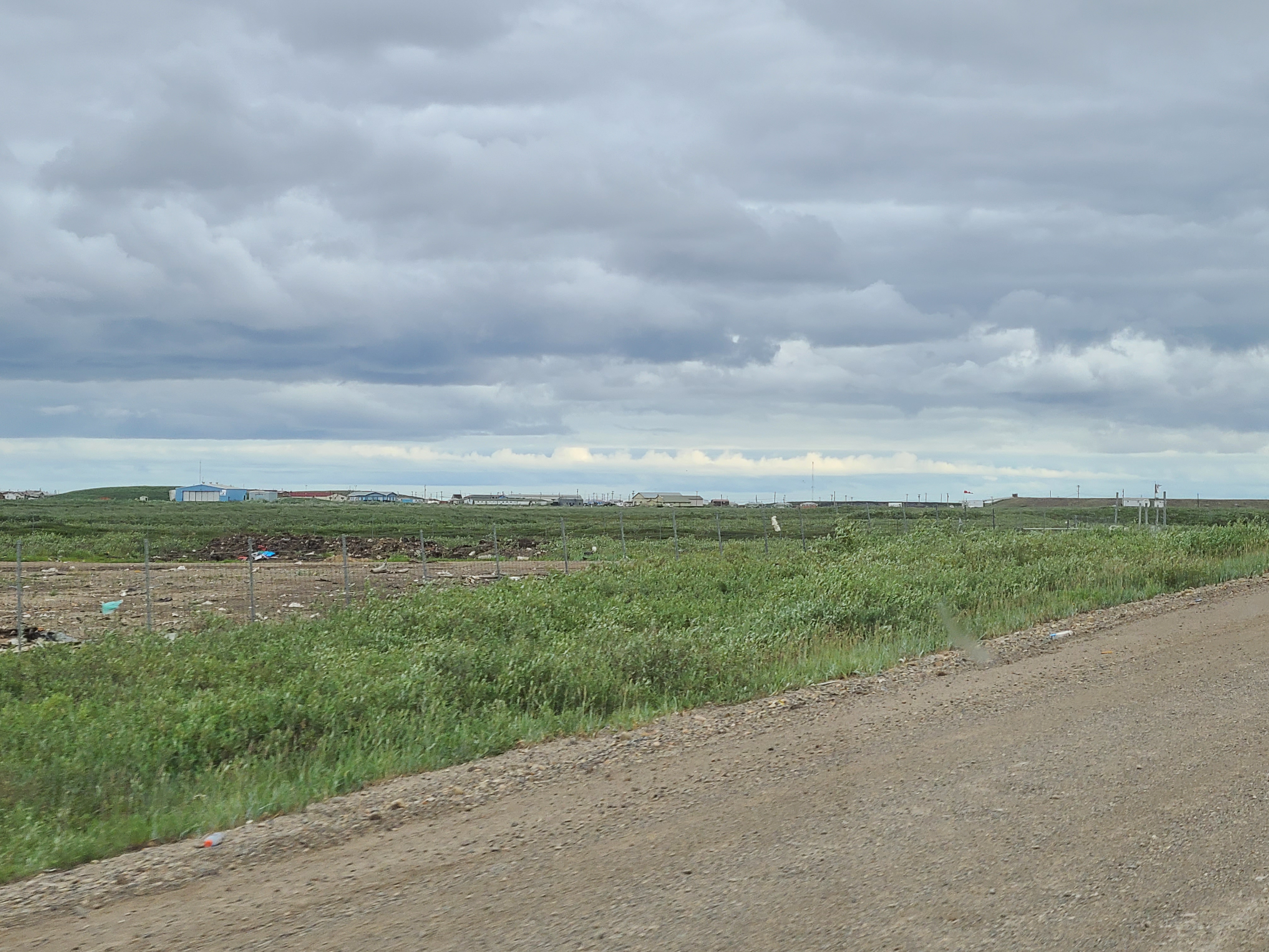
Well above the northern tree line, Tuktoyaktuk is a hamlet nestled against the Beaufort Sea. The only wood is the driftwood that makes its way north from the Mackenzie.
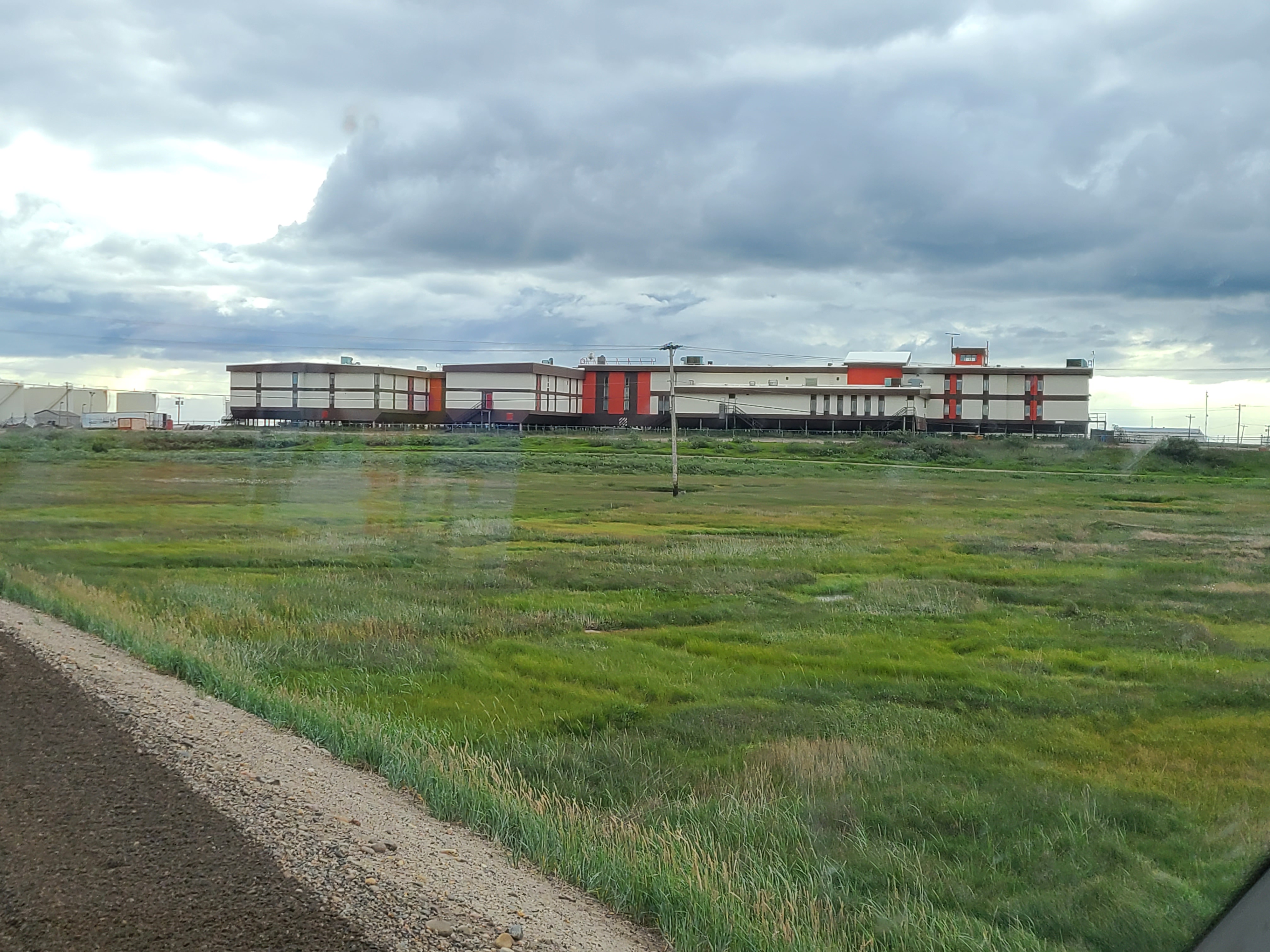
What a waste, this "has every amenity" bunker is barely used and falling into disrepair. Built in the 70s during a potential oil boom, when the capitalists decided it wasn't worth it they didn't even bother donating it to the community.
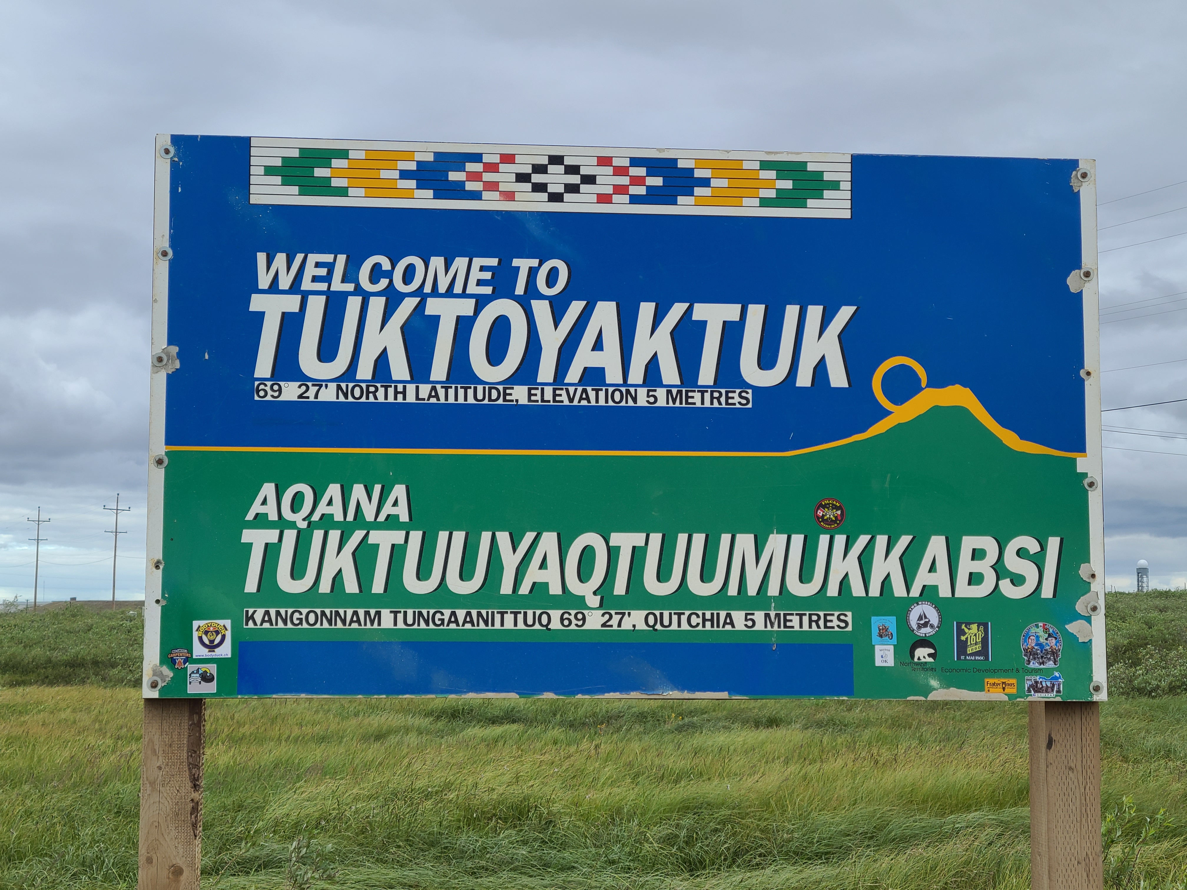
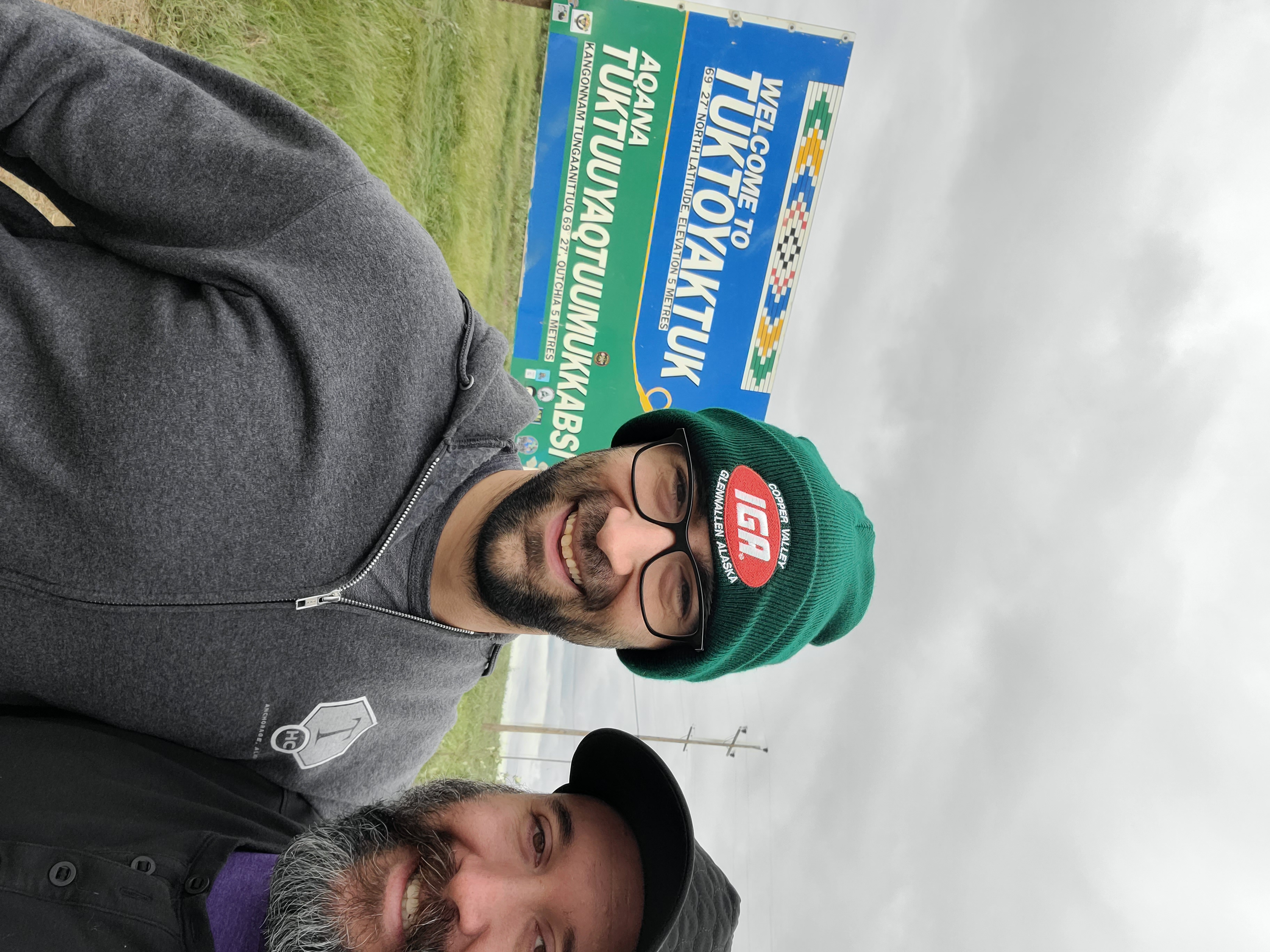
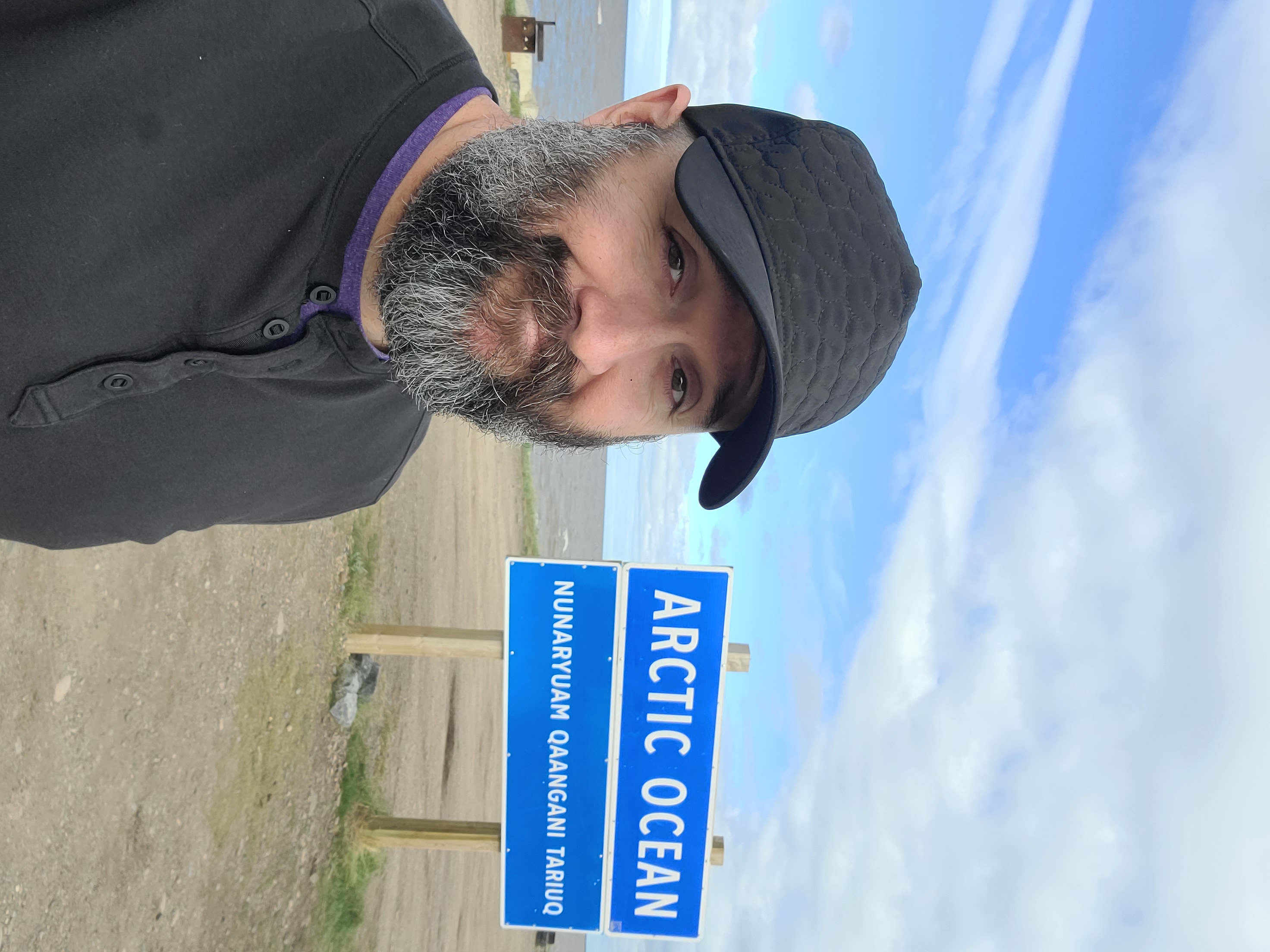
What a sign!! 69 degrees north, wow.
Bundled up for sure, the wind was blowing off the ocean and it was approximately 10 degrees Celsius.
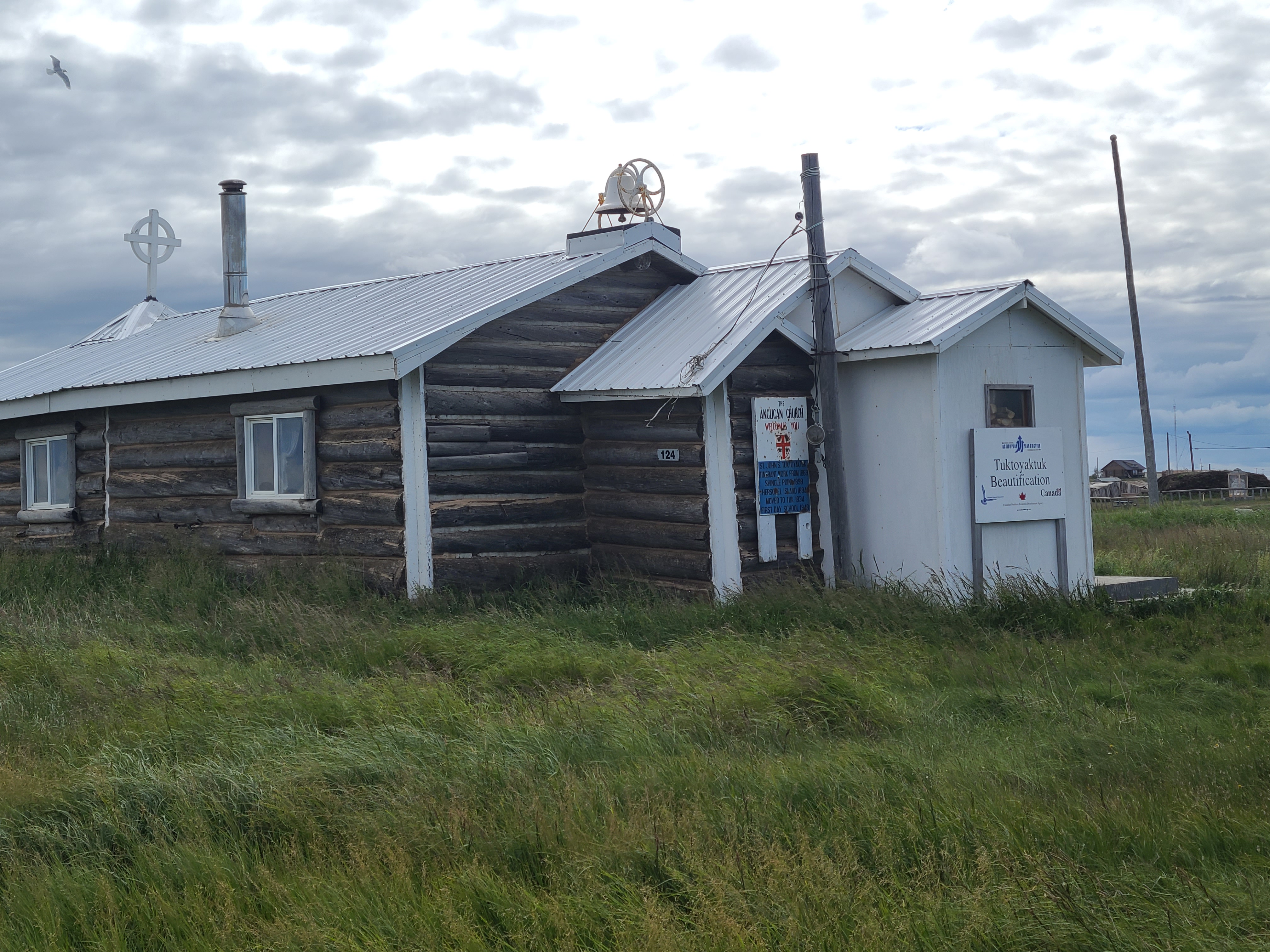
I'm Anglican / Episcopal and thought it was pretty neat.
Inuits didn't live in igloos, which are temporary structures. They collected driftwood and made huge multi-generational homes. Behind this one was one covered in sod for insulation.
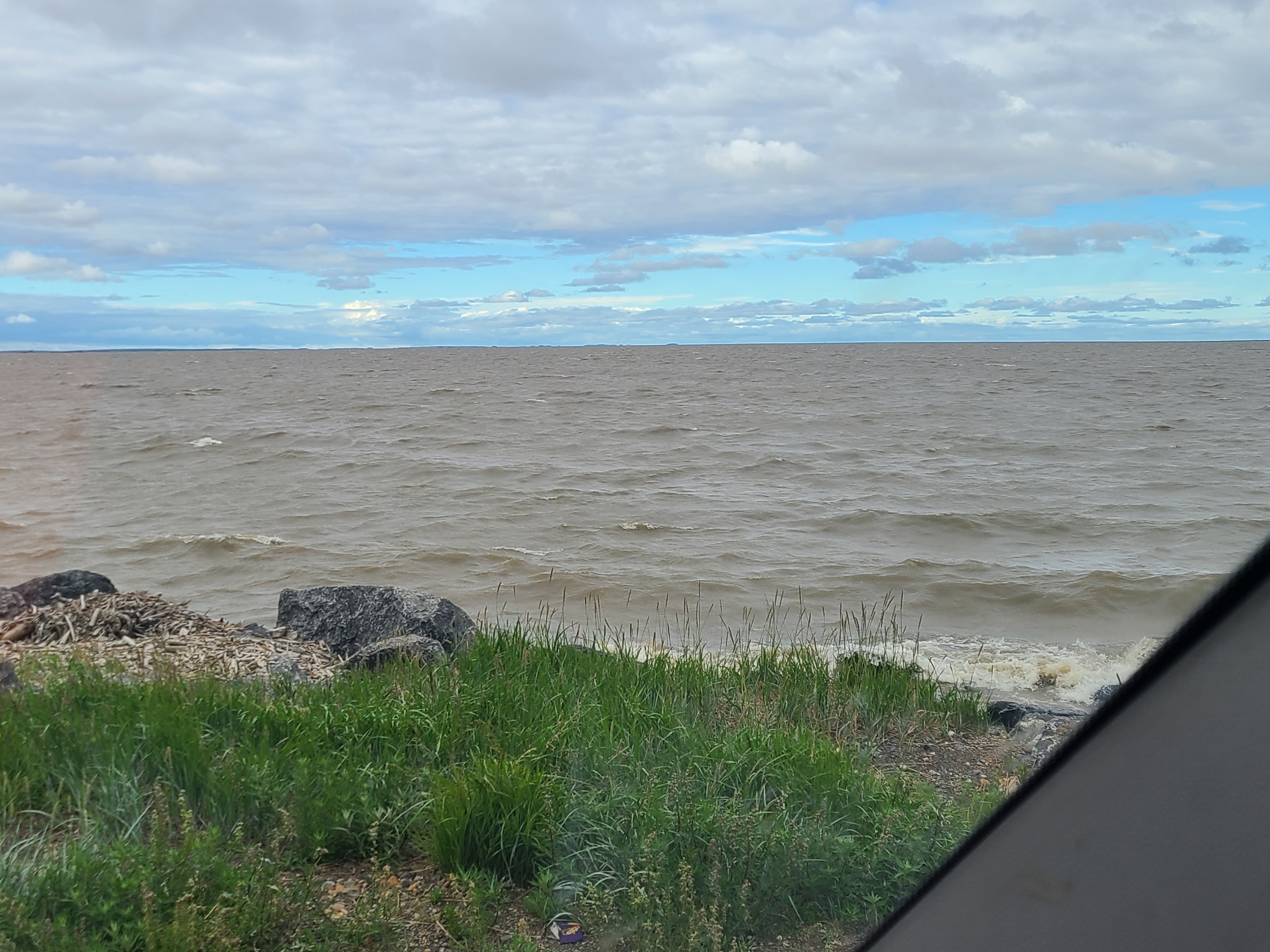
Just look that. The water was cloudy from silt, glacial runoff, organics, you name it. Hardly any larger waves due to the fact that the moon is off to the side pulling at the water near the equator. Wild.
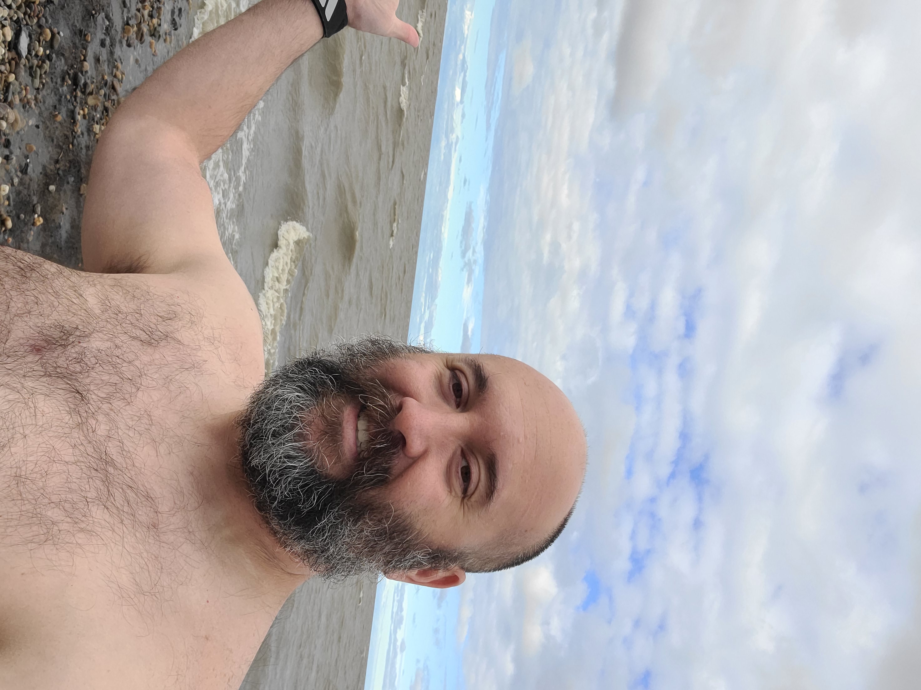
Brave face before facing the chill. Honestly, while it was cold, the worst part were the huge rocks underfoot.
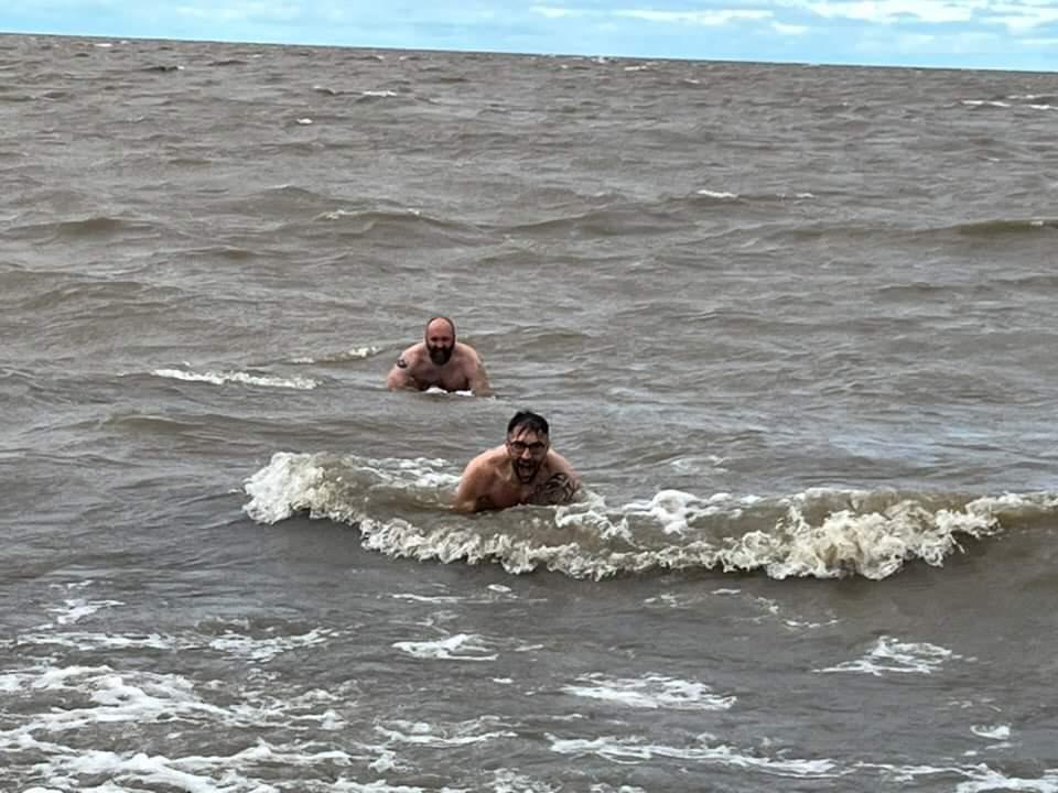
Can you tell it was cold? We're hulking out because we're both racing to get our swimming trunks back on. There was a tiny rip as well so if we didn't have our feet planted we were moving away from shore.
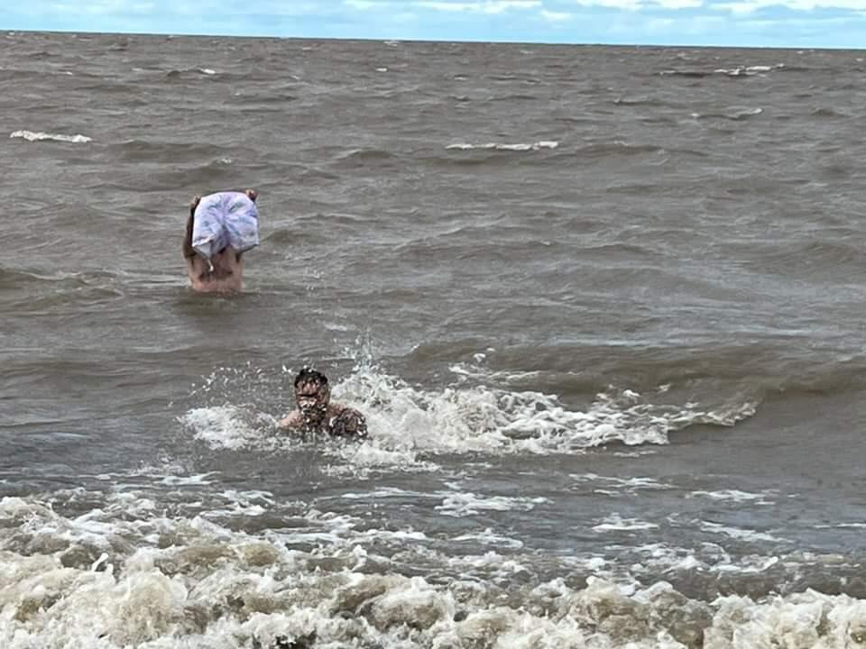
Holding up my suit to prove I was au naturale. Worth it.
A more "straight ahead" view out the Arctic Ocean. A few hundred kilometers that direction lay ice, polar bears, and approximately 2000 kilometers ahead is the geographical north pole.
That log was the most awesome place in the world after we swam in the Arctic Ocean. It was warm, blocked some wind, and was where our towels and clothes were.
Florian and Sophie chilling after snapping Elliot and I in the water. Our crew down the beach in the distance.
From snapchat, a different perspective of the Arctic Beach and our log in the distance.
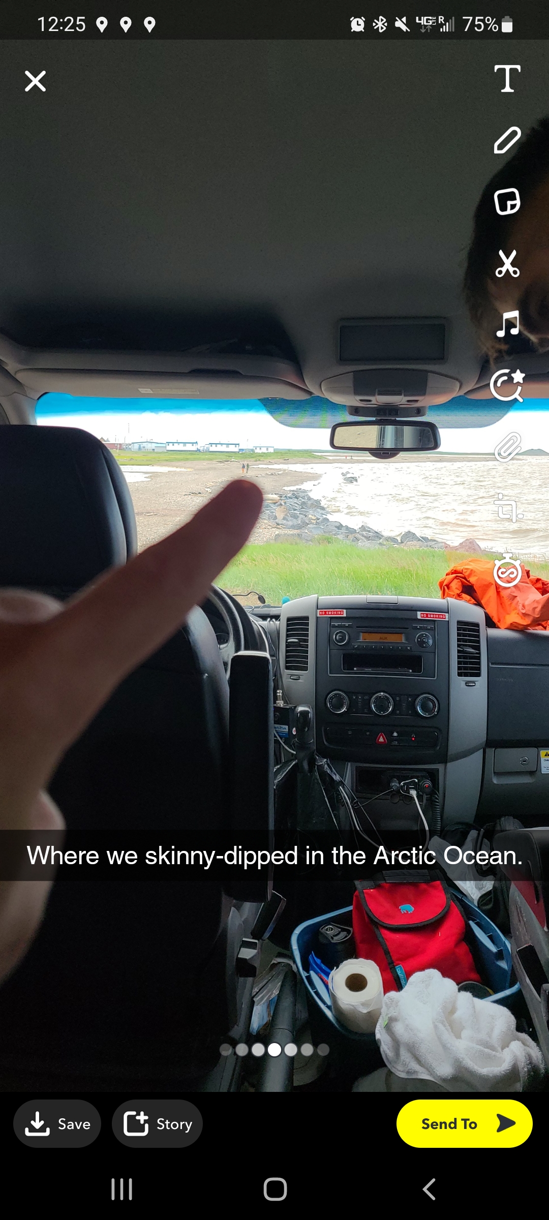
It's become one of my most shared photos of the trip - I'm at the Arctic Ocean, baby!
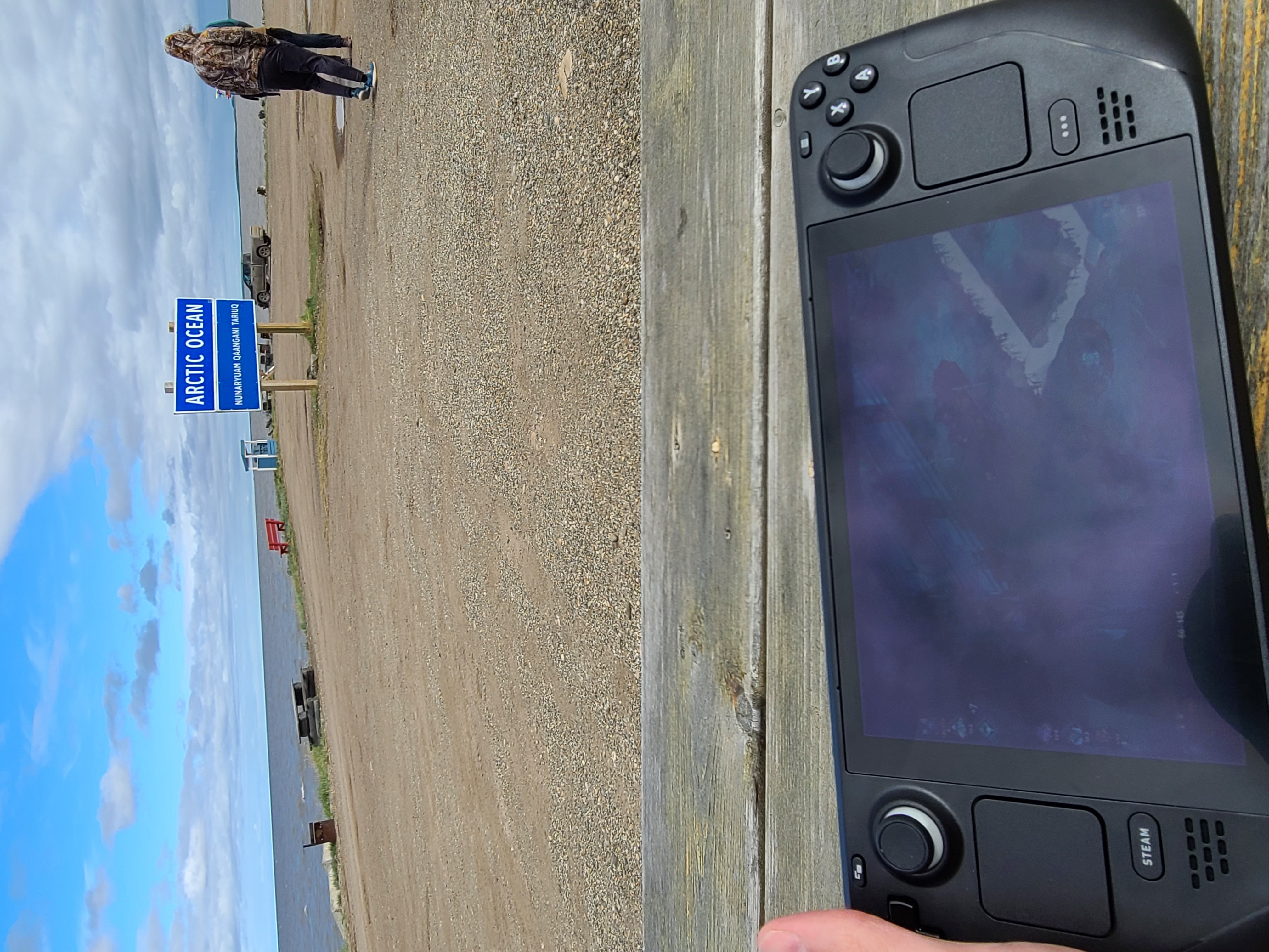
Nerding out at the Arctic Ocean with my video games. Reddit didn't like it nearly as much as I thought they would.
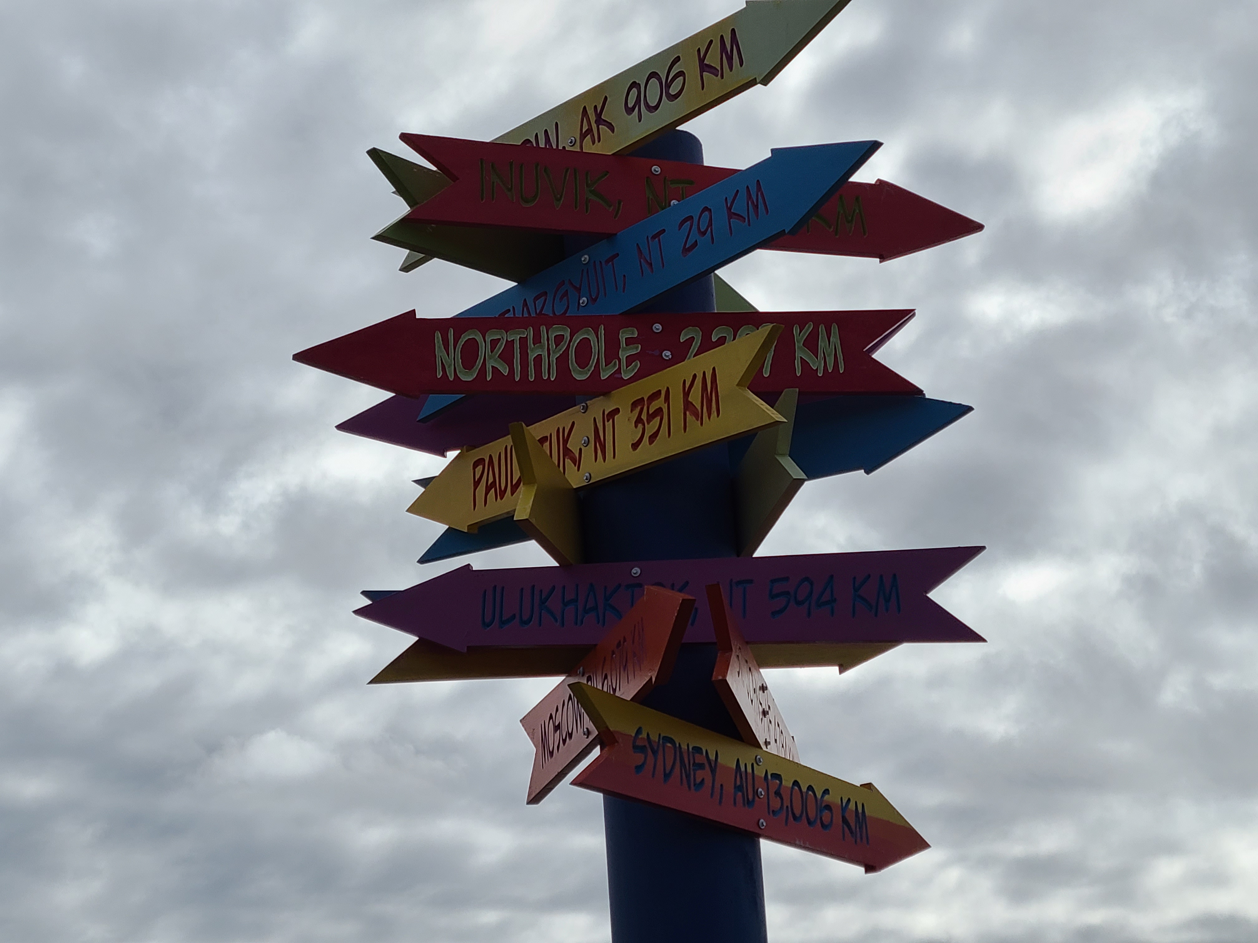
Can you believe how far away the North Pole still is? And Sydney, well, that's just a hop, skip, and a jump.
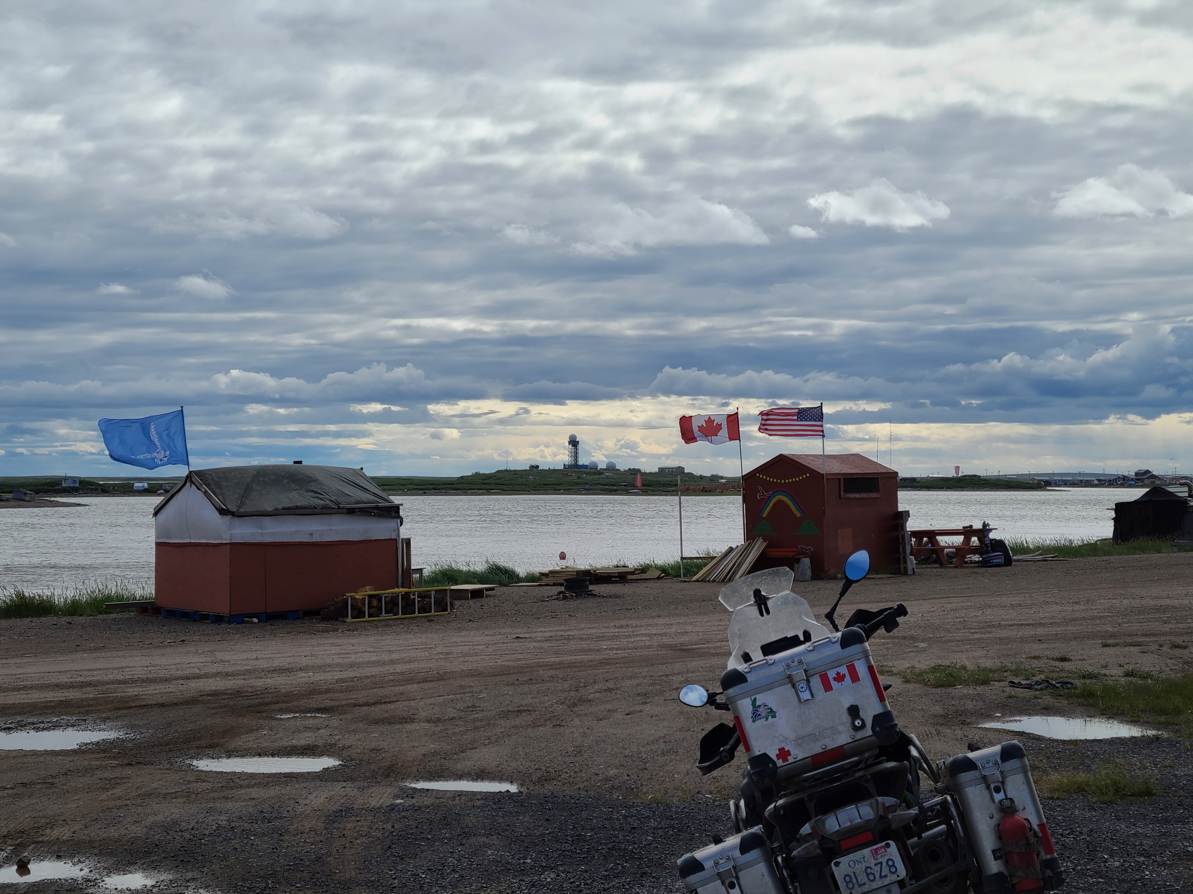
Close up we see multi-seasonal fishing huts. No idea why the Stars and Stripes are there. In the distance, radar and communication equipment. I had internet!
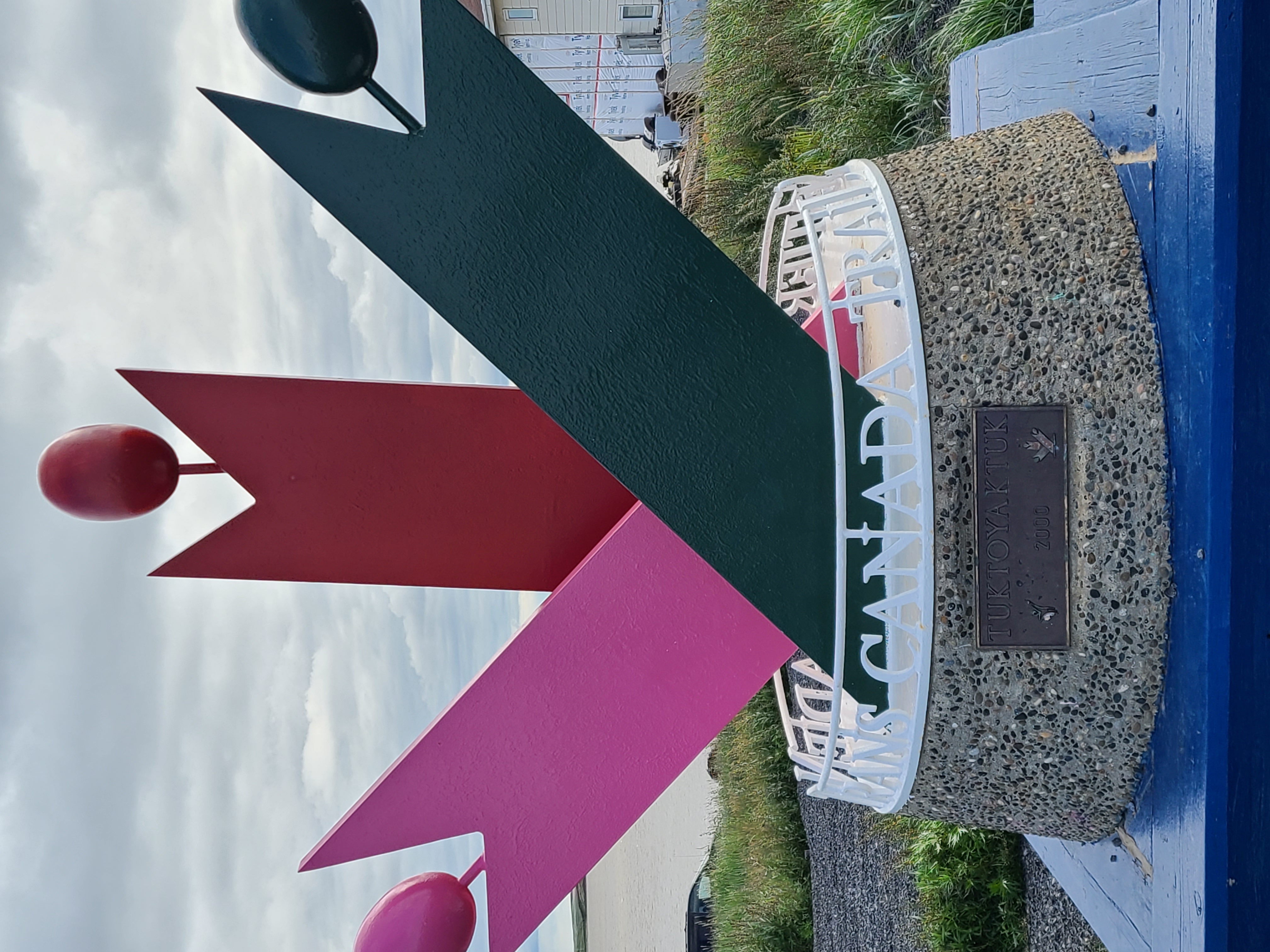
An official endpoint to the Trans Canada Trail. I imagine some people do that whole thing - 24,134 kilometers!
An interesting "upside down" map showing the world in a new way. When you're in the Arctic, it makes sense to center your world in maps. I'm just "above" Winnipeg right now, over by Lake Superior!
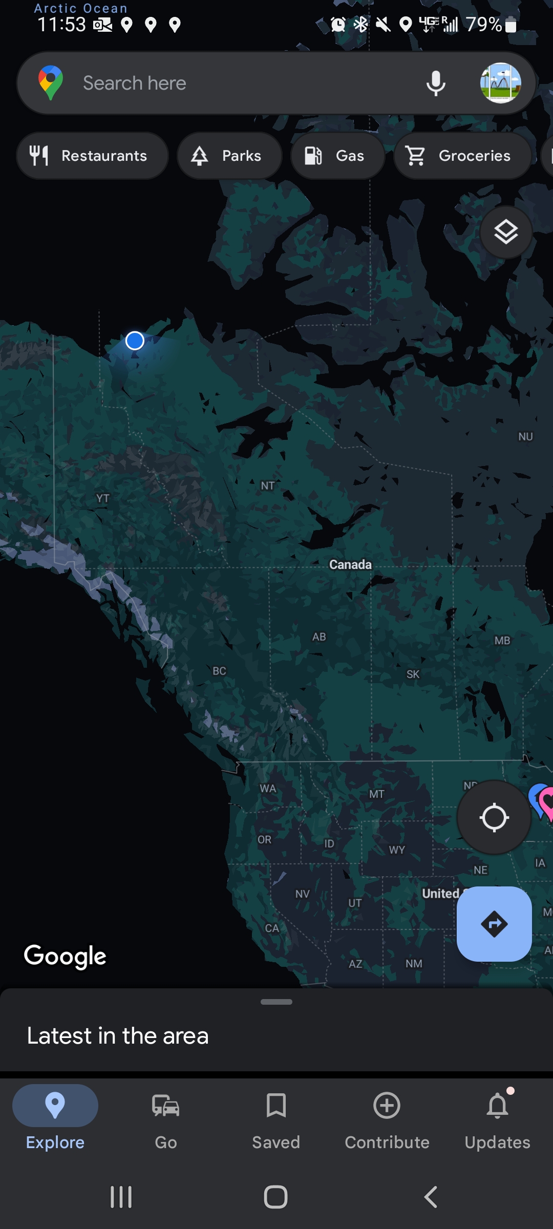
A full continent view of our google maps ping from Tuktoyaktuk, NWT.
A closer look at where we are via our google maps ping from Tuktoyaktuk, NWT.
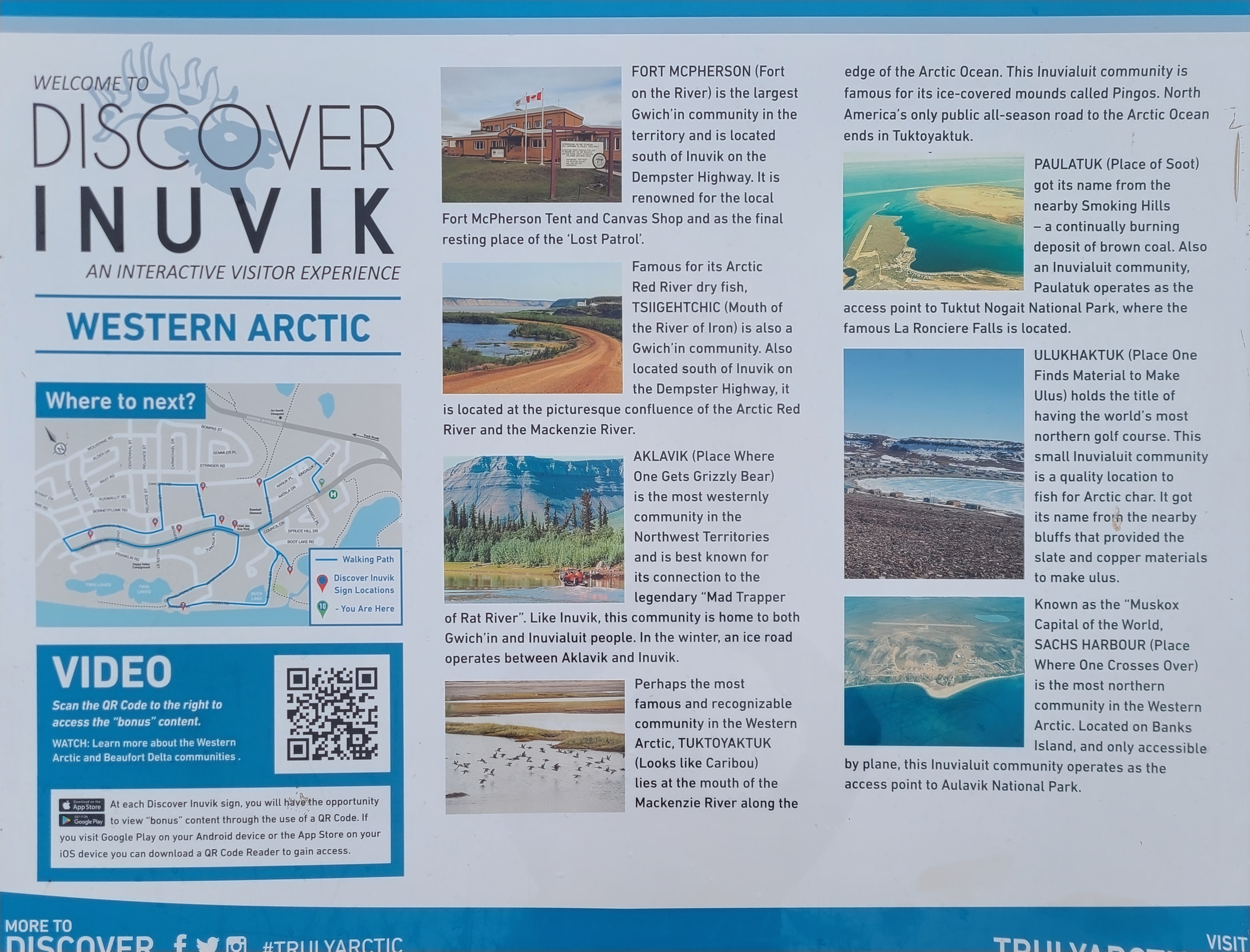
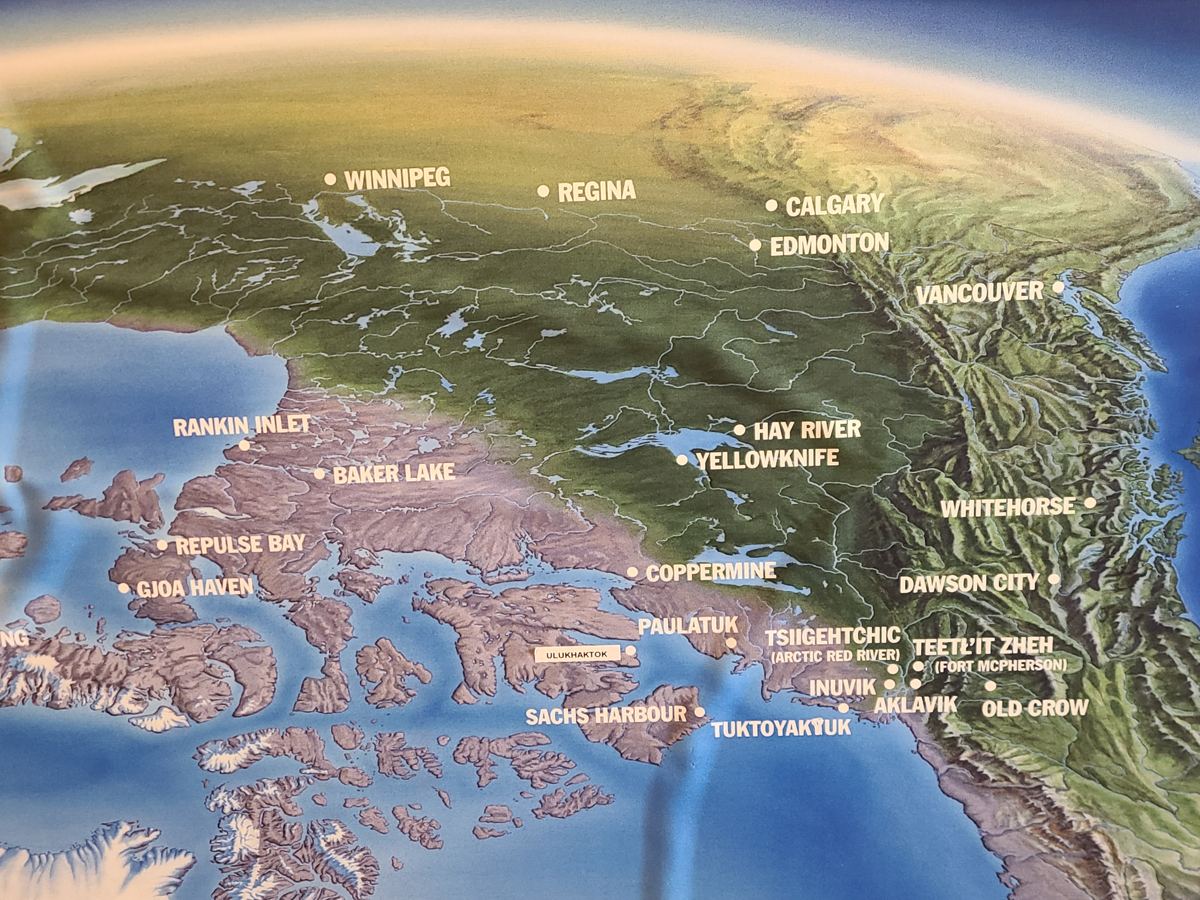
Inuvik is the administrative center of a massive part of Canada. Here are some of the important towns in the Arctic Northwest Territories.
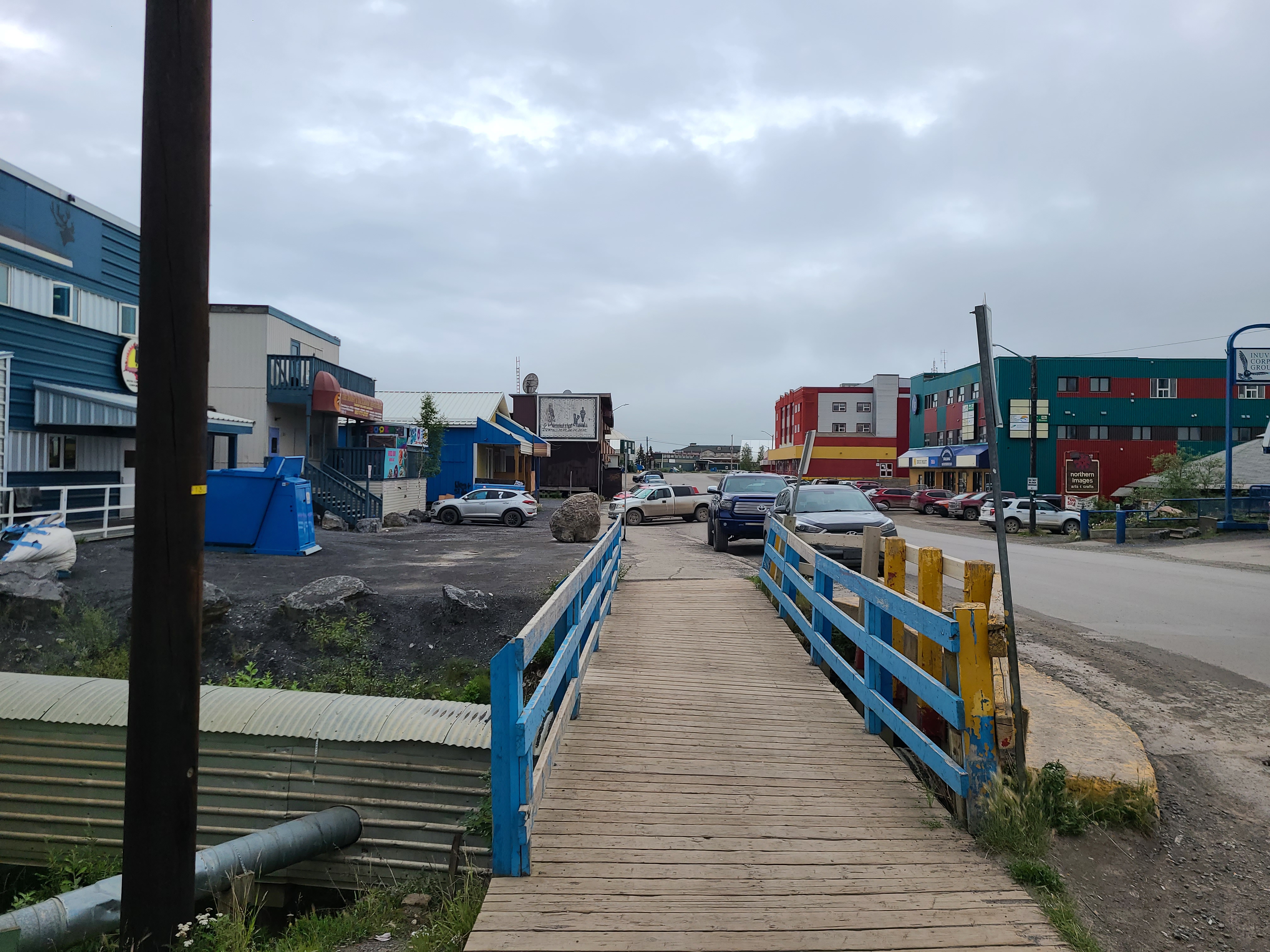
Here's the main stretch! To the left - the Mad Trapper (with the satellite dish). To the right - shops, administration and the Mackenzie Hotel in the distance.
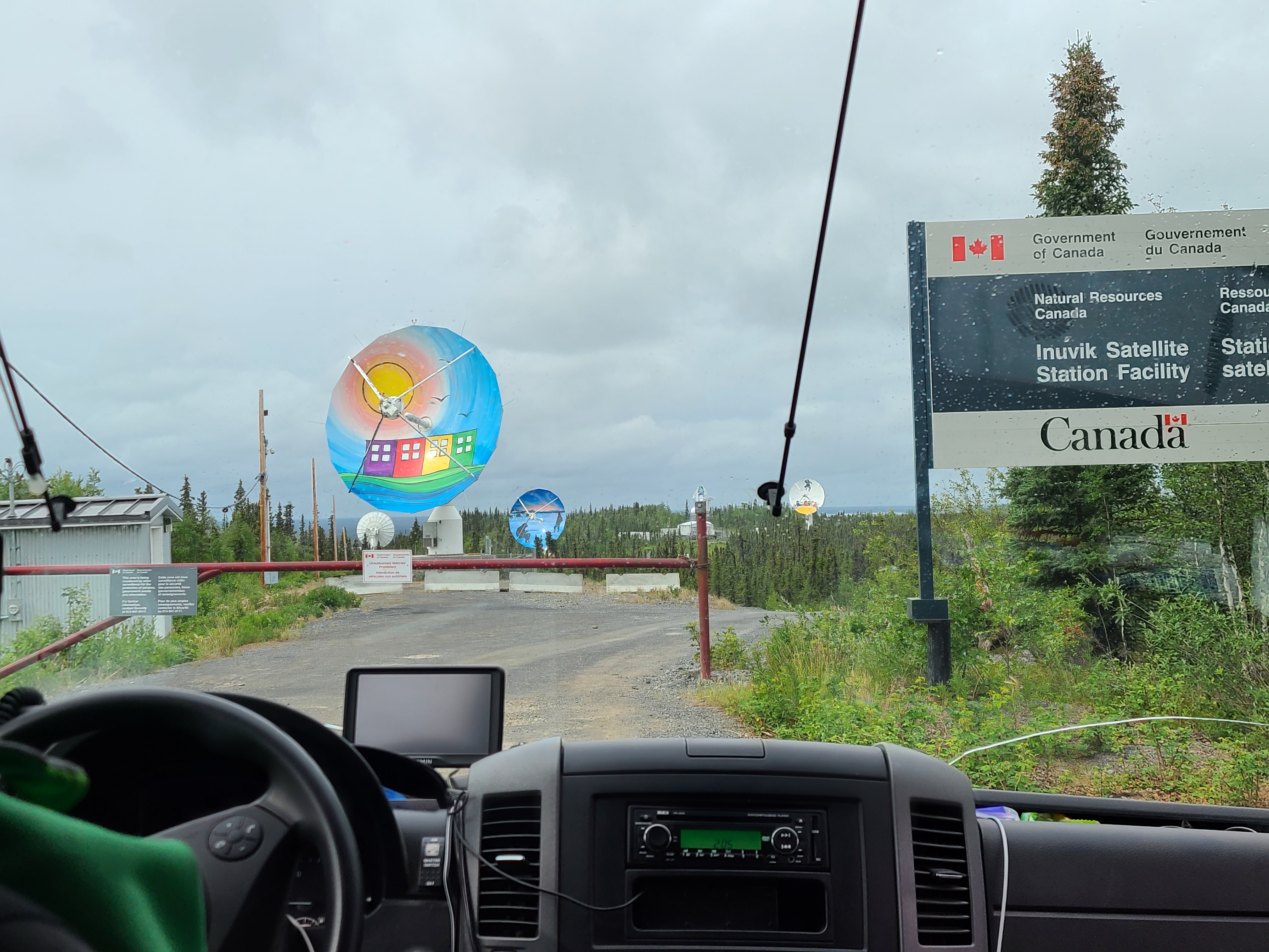
LOTS of satellite communications in Inuvik. Once again, pointing forward and not up.
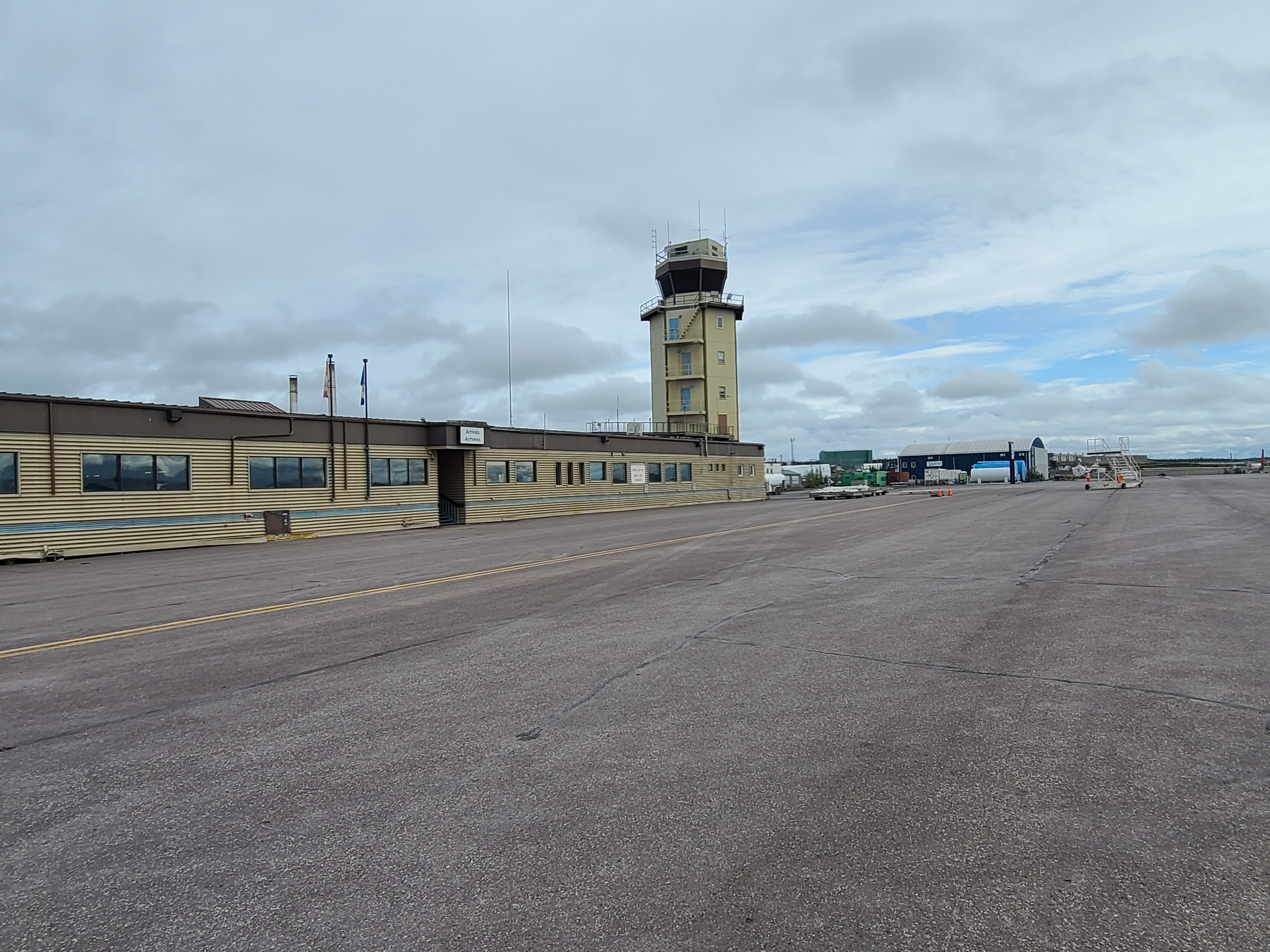
Pretty neat place. No security, no metal detectors, no checking of tickets. A LOT of bush planes and puddle jumpers.
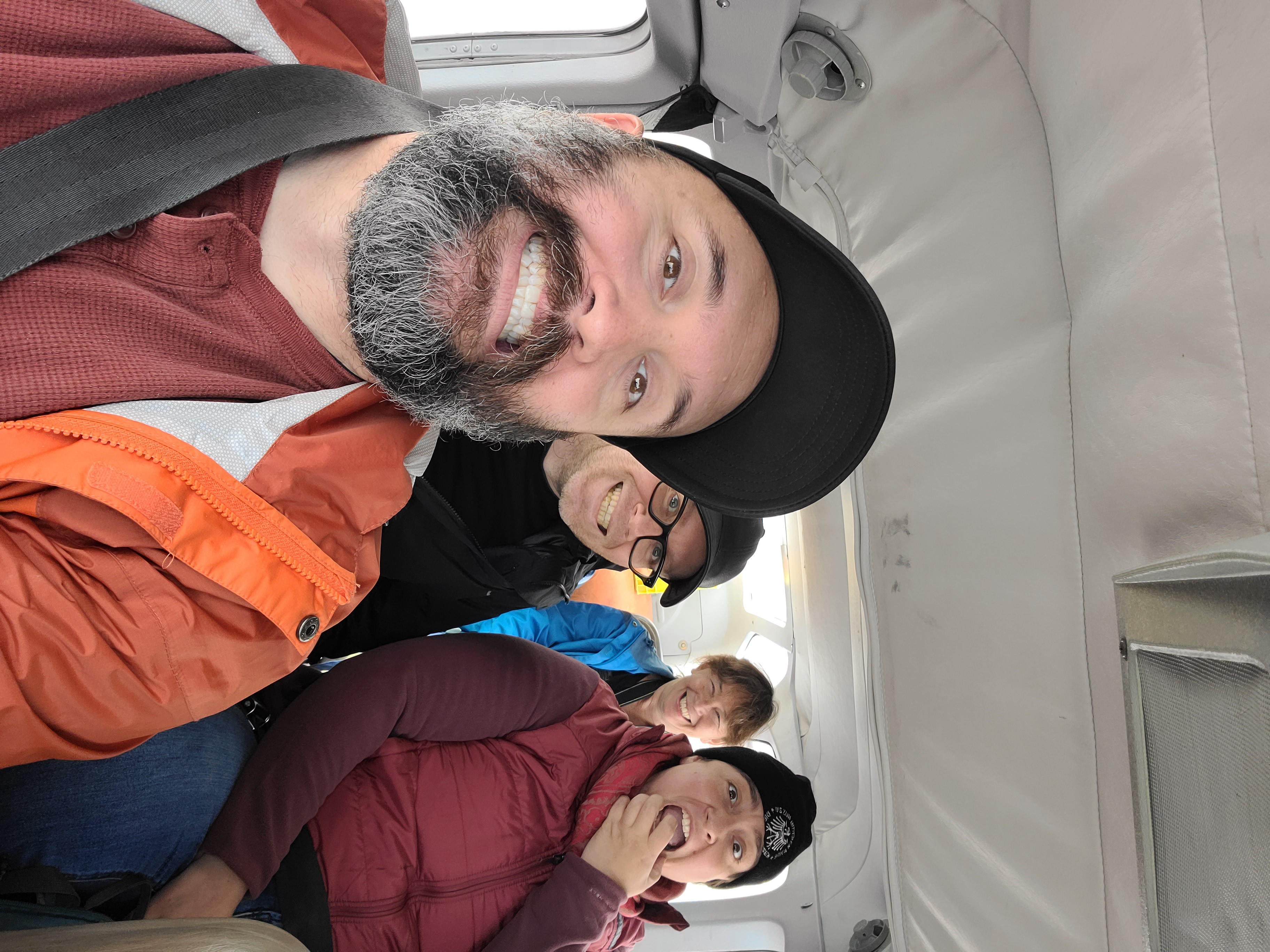
Stuffed into a Cessna. Directly behind me is Florian on the left (in glasses) and Sophie on the right. Wanda is in the back.
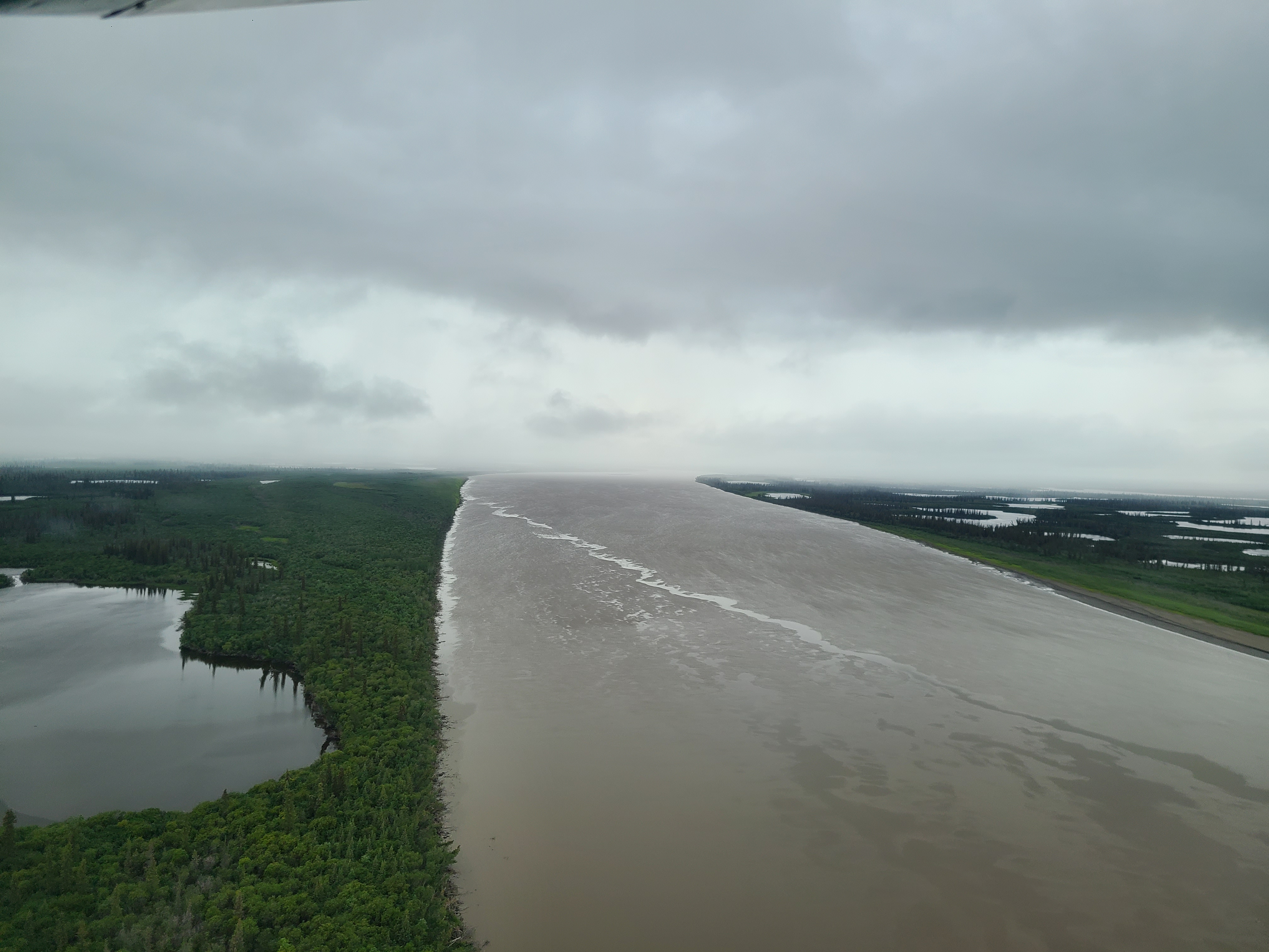
Just a hundred kilometers from where it drains into the Arctic Ocean, this part of the Mackenzie is a massive delta, with thousands of lakes and swamps.
Flying is the only way to get into Aklavik in the summer, because there are no permanent roads (and there'd be no way to get across the Mackenzie). All that changes in the winter when they build an ice road.
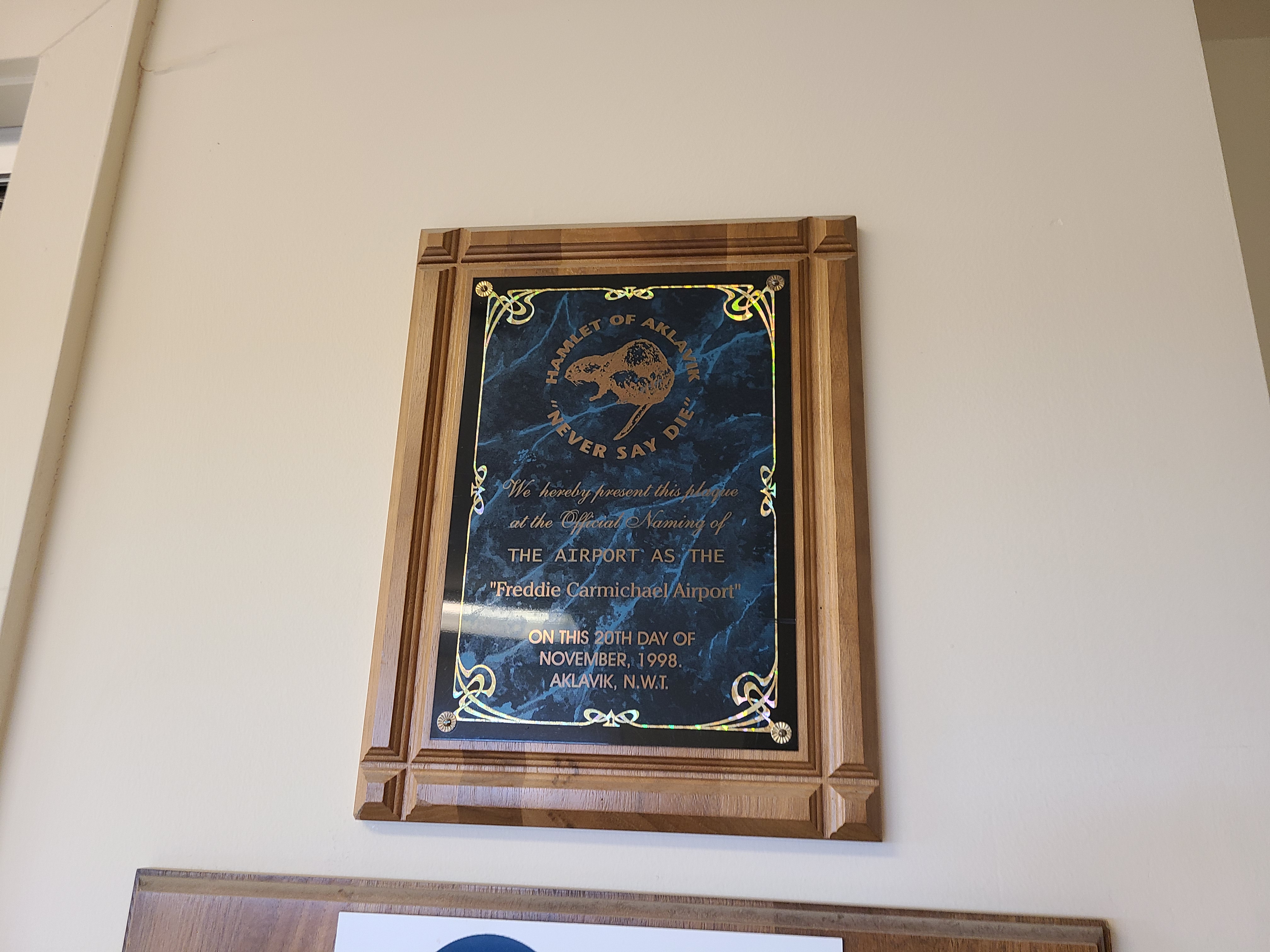
Never say die. The government tried to move the people of Aklavik to Inuvik because Aklavik floods a lot. The hardy folks said "Eh, sorry, no".
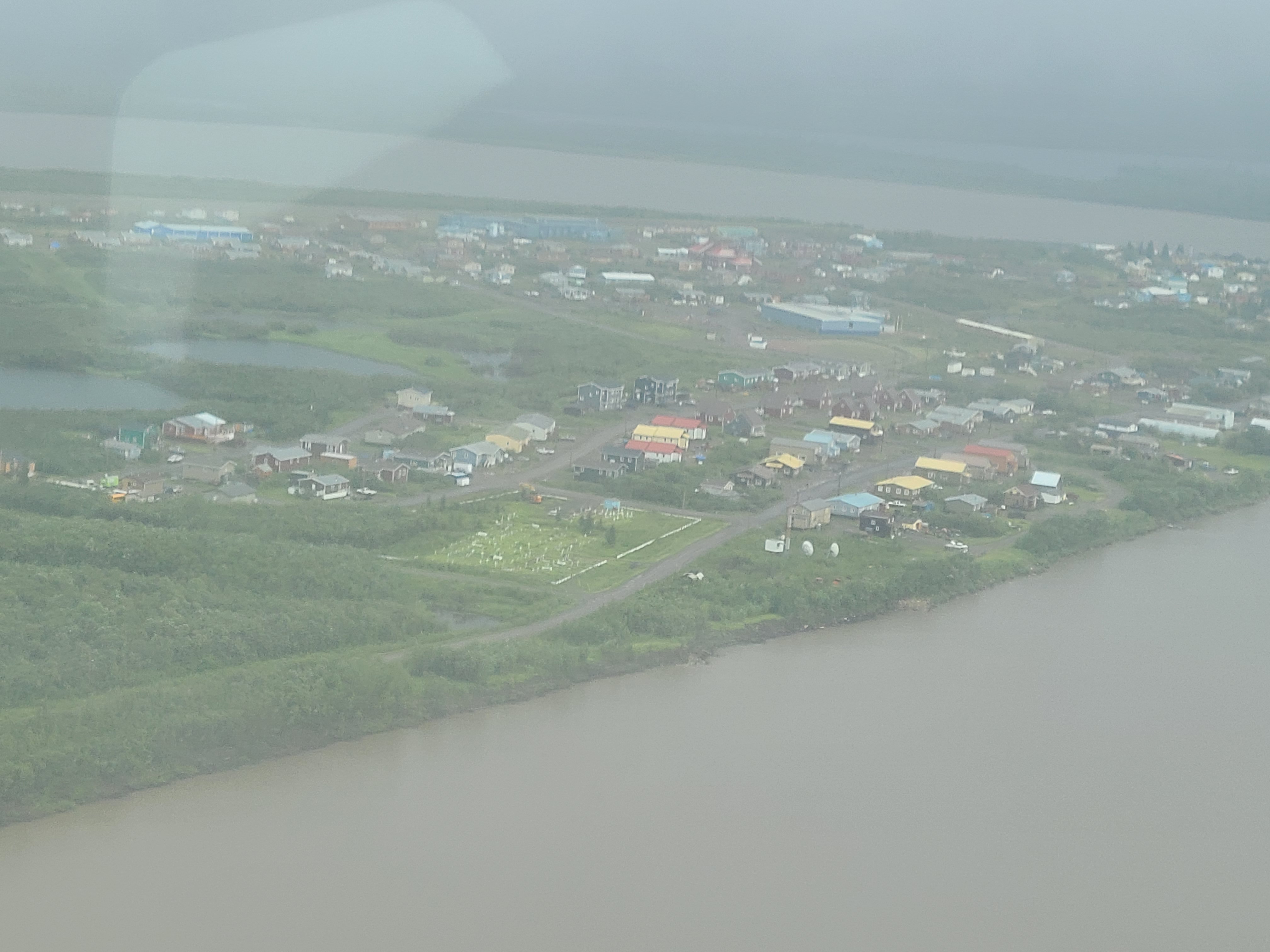
Great pic of Aklavik from the air. You can see North Mart, the school, the graveyard, satellite dishes, the post office, and even a couple of inns!
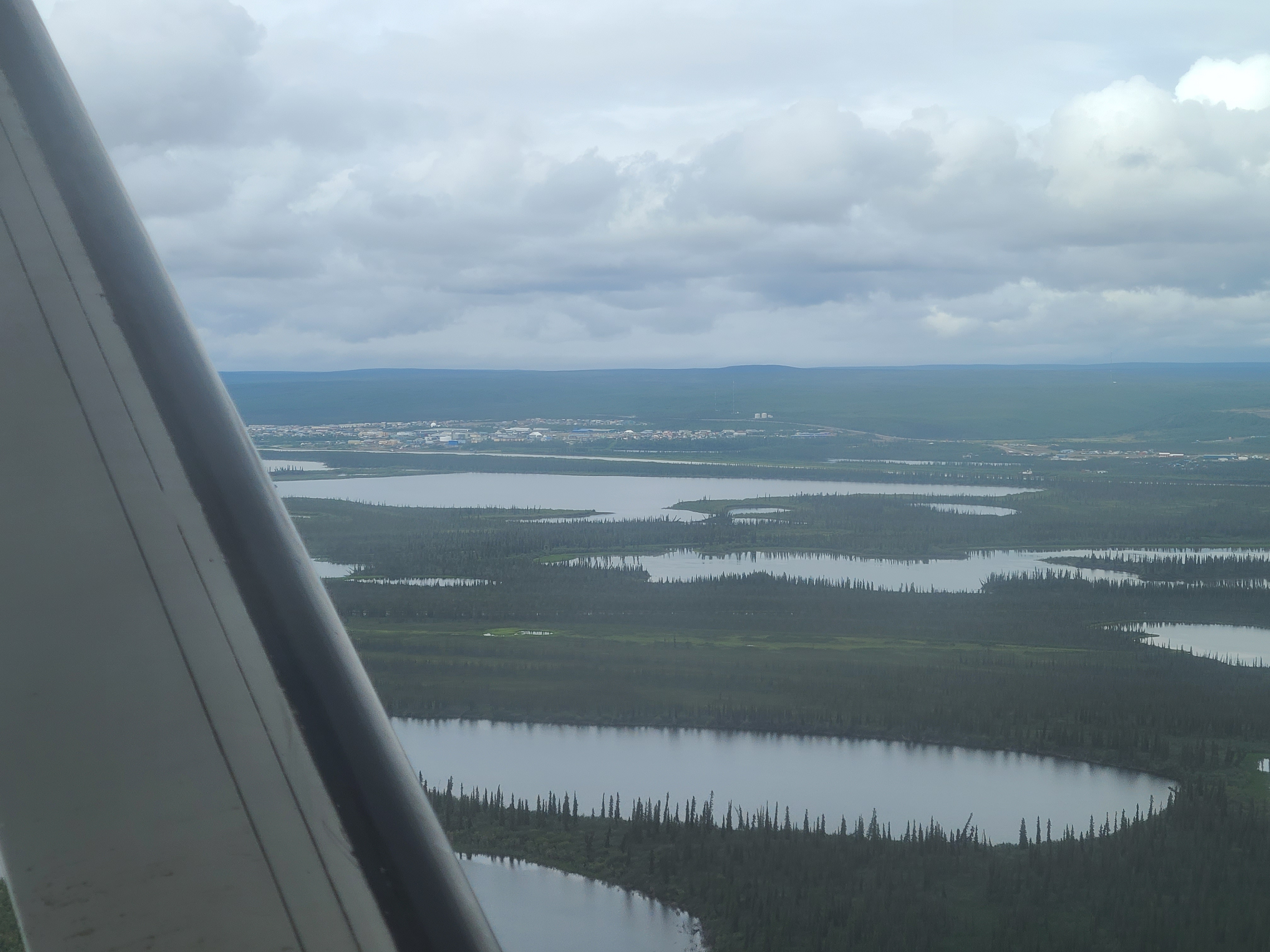
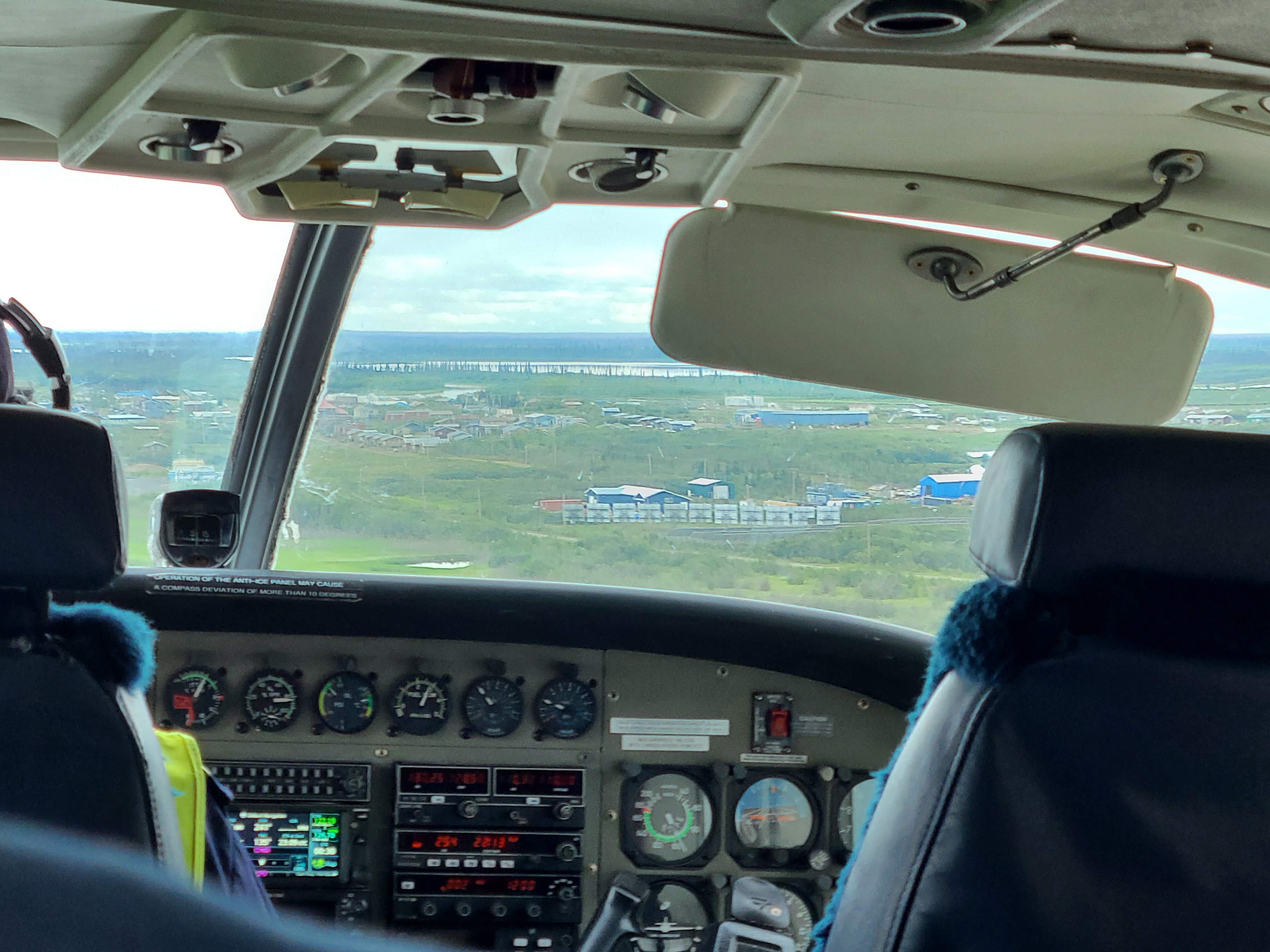
Delta lands, massive lakes, and the town of Inuvik in the distance. The horizontal body of water right before Inuvik is a channel that was dredged to facilitate...something.
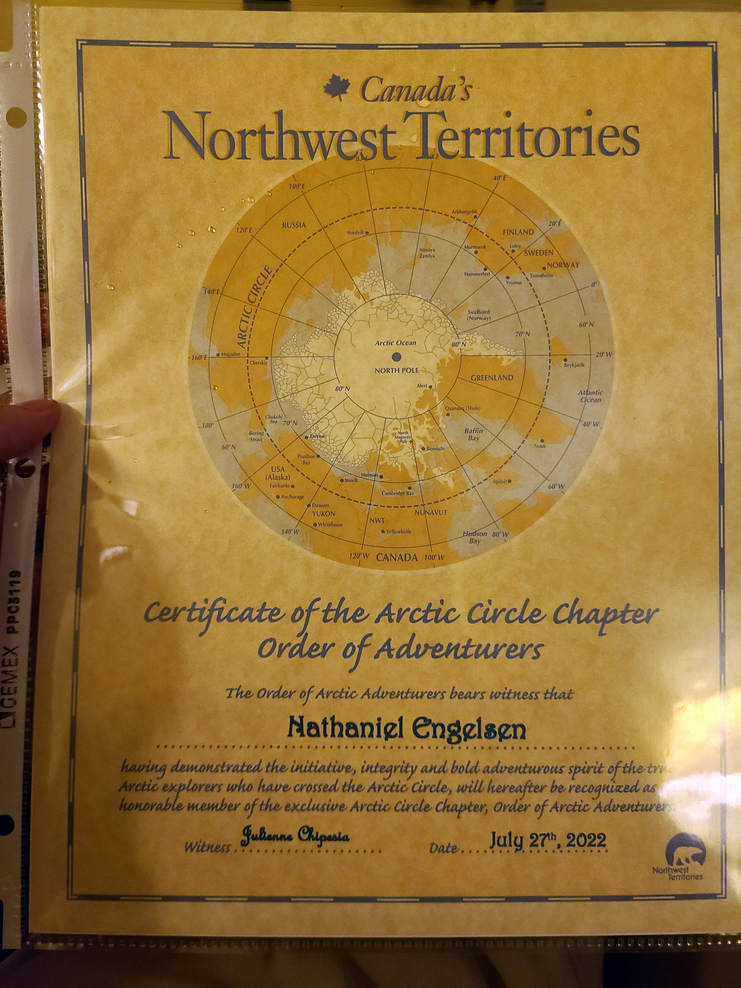
Indeed I didn't face the hardships of our forebears, but check it out - I'm an Arctic Adventurer!